Browse / Thailand / Nan / Na Noi
Na Noi
Nantown
Demographic figures from National Statistical Office of Thailand. Overview below cites Wikipedia and may reference a different year.
City facts
Overview
Na Noi is a town located in Nan, Thailand. Its coordinates of 18.325°, 100.715° place it in the tropical zone of the northern hemisphere. Detailed population figures are not currently catalogued in the open data sources we track. Its latitude implies a climate characterised by warm temperatures throughout the year with pronounced wet and dry seasons. Solar-resource estimates put the area at about 1,779 kWh/m² of solar irradiance per year with sunshine for roughly 70% of daylight hours. Climate records indicate average highs near 87.7°F and lows near 71.5°F and about 51.8 in of annual precipitation (a wet total). The remainder of this page draws on open public data to describe the area's demographics, climate, environment and nearby amenities.
Summary composed automatically from structured open data on this page. See our Terms for details.
History & geography
Geography
Coordinates & boundaries from the US Census TIGER/Line shapefiles.
Climate
10-year averages from ERA5 reanalysis (Open-Meteo).
Air quality
Walkability
Amenities nearby
Wildlife & biodiversity
Earthquake history
Photos
Sights & places nearby
Notable people from here
Nearby places in Nan
- Terme4039.3 mi away · pop. 71,366
- Çarşamba4052 mi away · pop. 140,439
- Canik4071.5 mi away · pop. 99,369
- Samsun4072.8 mi away · pop. 1,295,927
- Ondokuzmayıs4086.3 mi away · pop. 26,366
- Havza4106.7 mi away · pop. 38,872
- Burfjord4763.3 mi away · pop. 388
- Badderen4763.5 mi away
- Oksfjordhamn - Aksuvuononhamina4780.3 mi away
- Straumfjordnes4782.9 mi away
- Storslett4787 mi away · pop. 1,952
- Sørkjosen - Reaššegeahči - Rässikäinen4788.8 mi away · pop. 826
Geography & sun
Elevation, sunrise/sunset and daylight from Open-Meteo. Solar climatology from NASA POWER.
Nearby airports
Public attention
Books about Na Noi

Search results from Open Library.
Recent natural events nearby
Ground air-quality sensors
Recently spotted species

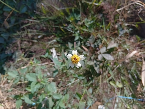

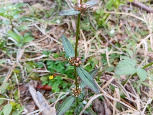
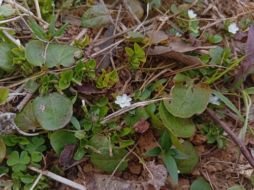


Research-grade observations from iNaturalist (within ~15 mi).
Events
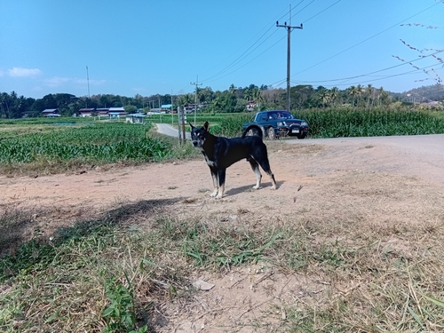
Gallery
Geotagged photos within ~6 miles of Na Noi, from Wikimedia Commons contributors.


Photos via Wikimedia Commons — see each image page for license & attribution.
Sources
- • Open-Meteo (ERA5 reanalysis)
- • Wikimedia Commons
- • Wikidata
- • iNaturalist
- • Open-Meteo / sunrise-sunset.org
- • Open Library