Browse / Thailand / Nakhon Si Thammarat / Nakhon Si Thammarat
Nakhon Si Thammarat
Nakhon Si Thammaratcity

Nakhon Si Thammarat
Total population
102,152
Demographic figures from National Statistical Office of Thailand. Overview below cites Wikipedia and may reference a different year.
City facts
Overview
Nakhon Si Thammarat is a city municipality in Mueang Nakhon Si Thammarat district, the capital of Nakhon Si Thammarat province, in the south of Thailand. It is about 610 km (380 mi) south of Bangkok, on the east coast of the Malay Peninsula. The city was the administrative centre of Southern Thailand during most of its history. Originally, a coastal city, silting moved the coastline away from the city. The city has a much larger north to south extension than west to east, which dates back to its original location on a flood-safe dune. The modern city centre on the train station is north of Old Town. As of 2019, the city had a population of 102,152.
Read more on WikipediaHistory & geography
History
Nakhon Si Thammarat is one of the oldest cities in Thailand with a rich history. The Wat Maheyong inscription (K. 407), a Sanskrit text of about the seventh or eighth century, is said to come from Nakhon Si Thammarat, although Lucien Fournereau gave its provenance as a Wat Mahyeng in what is now Nakhon Pathom province. The earliest settlement in the vicinity of the city was Tha Rua, about ten kilometers south of the modern city, where ceramics from the Song dynasty were found dated to the twelfth century. The settlement then moved to Muang Phra Wieng, which was associated with the Tambralinga Kingdom, four kilometers to the south. An inscription was found at Wat Sema Muang that bore: The king of Srivijaya "had established a foothold on the Malay Peninsula at Ligor" by 775, where he "built various edifices, including a sanctuary dedicated to the Buddha and to the Bodhisattvas Padmapani and Vajrapani." Tambralinga, whose name means "Red Linga" (from Sanskrit tām(b)ra "copper" and lingam) and may relate to Chinese Tan Ma Ling (單馬令), was one of the polities under Mahayanist Srivijaya thalassocracy. Tambralinga sent its last recorded embassy to the Song court in 1070, earlier than the last missions of Lavo in 1155, of Cambodia in 1135 and of Srivijaya itself in 1178. The Chronicles of Nakorn Si Thammarat, composed in the seventeenth century, attributed the foundation of current city of Nakhon Si Thammarat to King Sri Thammasok in the thirteenth century. An inscription found at Chaiya stated that King Sri Thammasok ruled Tambralinga in 1231. King Sri Thammasok constructed Wat Phra Mahathat and introduced Singhalese Theravada Buddhism. The Nakhon Si Thammarat Kingdom held authorities over "twelve cities" that extended from Chumphon to the north and Pahang to the south.…
Excerpted from the corresponding Wikipedia article (CC BY-SA).
Geography
Coordinates & boundaries from the US Census TIGER/Line shapefiles.
Climate
Air quality
Walkability
Amenities nearby
Wildlife & biodiversity
Most-observed species
- Common MynaAcridotheres tristis (Linnaeus, 1766) · Aves156
- Rock PigeonColumba livia J.F.Gmelin, 1789 · Aves151
- Asian OpenbillAnastomus oscitans (Boddaert, 1783) · Aves98
- Zebra DoveGeopelia striata (Linnaeus, 1766) · Aves88
- Great MynaAcridotheres grandis Moore, 1858 · Aves80
- Little CormorantMicrocarbo niger (Vieillot, 1817) · Aves80
- Spotted DoveSpilopelia chinensis (Scopoli, 1786) · Aves80
- Oriental Magpie-RobinCopsychus saularis (Linnaeus, 1758) · Aves76
Citizen-science & research observations from the Global Biodiversity Information Facility (GBIF).
Earthquake history
Events from the USGS Earthquake Catalog (global) (FDSN Event Web Service).
Photos
Sights & places nearby
Notable people from here
Nearby places in Nakhon Si Thammarat
Geography & sun
Elevation, sunrise/sunset and daylight from Open-Meteo. Solar climatology from NASA POWER.
Nearby airports
Public attention
Pageview totals from the Wikimedia Pageviews API.
Books about Nakhon Si Thammarat
Search results from Open Library.
Recent natural events nearby
Ground air-quality sensors
Recently spotted species
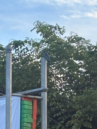
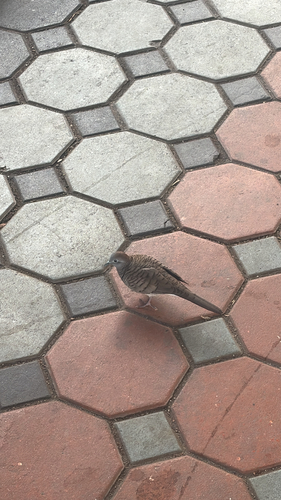
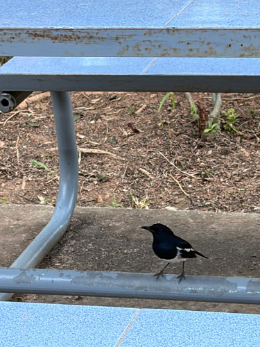
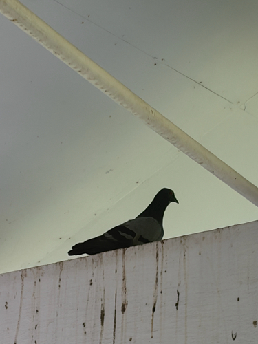
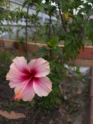
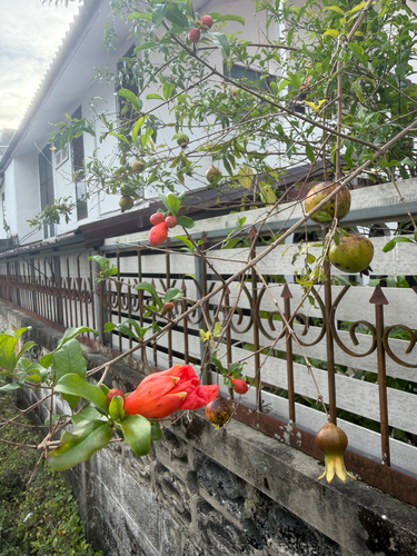
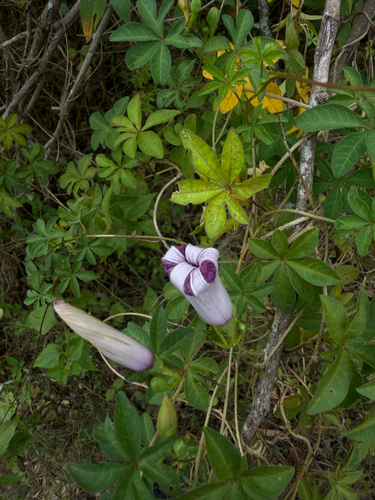
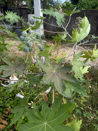
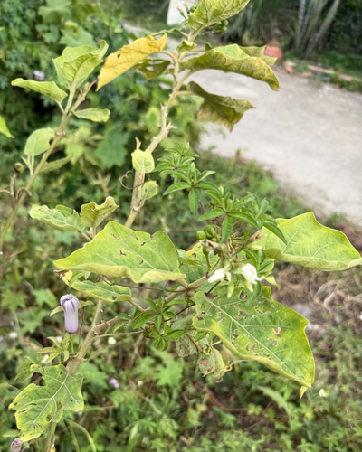
Research-grade observations from iNaturalist (within ~15 mi).
Events
Gallery
Sources
- • Wikipedia
- • USGS Earthquake Catalog (global feed)
- • GBIF (Global Biodiversity Information Facility)
- • iNaturalist
- • Open-Meteo / sunrise-sunset.org
- • Wikipedia Pageviews API
- • Open Library