Browse / Thailand / Trat / Nong Bon
Nong Bon
Trattown
Demographic figures from National Statistical Office of Thailand. Overview below cites Wikipedia and may reference a different year.
City facts
Overview
Set in Trat, Thailand, Nong Bon is recorded in open geodata as a town. Up-to-date population figures for this locality are not available in the open datasets we monitor. Located at 12.683°, 102.462°, Nong Bon occupies a tropical portion of the northern hemisphere. Its latitude implies a climate characterised by warm temperatures throughout the year with pronounced wet and dry seasons. The location receives about 1,728 kWh/m² of solar irradiance per year and sunshine for roughly 68% of daylight hours. The sections below expand on demographics, weather, terrain, hazards and nearby points of interest using publicly available datasets.
Summary composed automatically from structured open data on this page. See our Terms for details.
History & geography
Geography
Coordinates & boundaries from the US Census TIGER/Line shapefiles.
Climate
Air quality
Walkability
Amenities nearby
Wildlife & biodiversity
Earthquake history
Photos
Sights & places nearby
Notable people from here
Geography & sun
Elevation, sunrise/sunset and daylight from Open-Meteo. Solar climatology from NASA POWER.
Nearby airports
Public attention
Books about this place
Recent natural events nearby
Ground air-quality sensors
Recently spotted species


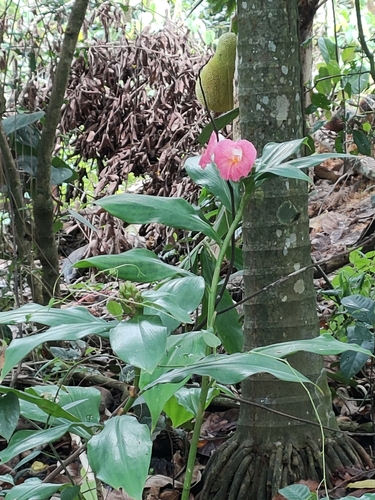


Research-grade observations from iNaturalist (within ~15 mi).
Events
Gallery
Sources
- • Wikidata
- • iNaturalist
- • Open-Meteo / sunrise-sunset.org