Browse / Thailand / Uthai Thani / Nong Chang
Nong Chang
Uthai Thanitown
Demographic figures from National Statistical Office of Thailand. Overview below cites Wikipedia and may reference a different year.
City facts
Overview
Nong Chang is a town in Uthai Thani, Thailand. Detailed population figures are not currently catalogued in the open data sources we track. Its coordinates of 15.391°, 99.841° place it in the tropical zone of the northern hemisphere. Solar-resource estimates put the area at about 1,825 kWh/m² of solar irradiance per year with sunshine for roughly 71% of daylight hours. Based on its tropical position, residents likely encounter warm temperatures throughout the year with pronounced wet and dry seasons. The remainder of this page draws on open public data to describe the area's demographics, climate, environment and nearby amenities.
Summary composed automatically from structured open data on this page. See our Terms for details.
History & geography
Geography
Coordinates & boundaries from the US Census TIGER/Line shapefiles.
Climate
Air quality
Walkability
Amenities nearby
Wildlife & biodiversity
Most-observed species
- Rock PigeonColumba livia J.F.Gmelin, 1789 · Aves76
- Great MynaAcridotheres grandis Moore, 1858 · Aves68
- Asian KoelEudynamys scolopaceus (Linnaeus, 1758) · Aves67
- Zebra DoveGeopelia striata (Linnaeus, 1766) · Aves62
- Red Collared-DoveStreptopelia tranquebarica (Hermann, 1804) · Aves61
- Black DrongoDicrurus macrocercus Vieillot, 1817 · Aves60
- Asian Pied StarlingGracupica contra (Linnaeus, 1758) · Aves59
- Barn SwallowHirundo rustica Linnaeus, 1758 · Aves58
Citizen-science & research observations from the Global Biodiversity Information Facility (GBIF).
Earthquake history
Most recent
- M 4.1 — 2023-06-2824 km NNE of Khanu Woralaksaburi, Thailand
- M 4.3 — 2018-12-3070 km SW of Huai Khot, Thailand
Events from the USGS Earthquake Catalog (global) (FDSN Event Web Service).
Photos
Sights & places nearby
Notable people from here
Nearby places in Uthai Thani
- Thap Than5.9 mi away
- Nong Kha Yang6.2 mi away
- Uthai Thani12.5 mi away · pop. 16,787
- Sawang Arom13.3 mi away
- Mueang Ka Rung17.7 mi away
- Lan Sak20.9 mi away · pop. 59,155
- Ban Rai30.1 mi away
- Hải Hưng Commune558.4 mi away
- Nam Thanh Miện Commune558.5 mi away
- Phù Cưu559.4 mi away
- Hồng Châu Commune560.4 mi away
- Bắc Thanh Miện Commune560.4 mi away
Geography & sun
Elevation, sunrise/sunset and daylight from Open-Meteo. Solar climatology from NASA POWER.
Nearby airports
Public attention
Books about this place
Recent natural events nearby
Ground air-quality sensors
Recently spotted species
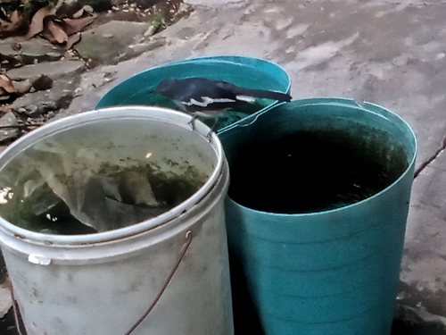
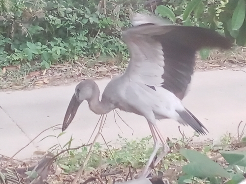
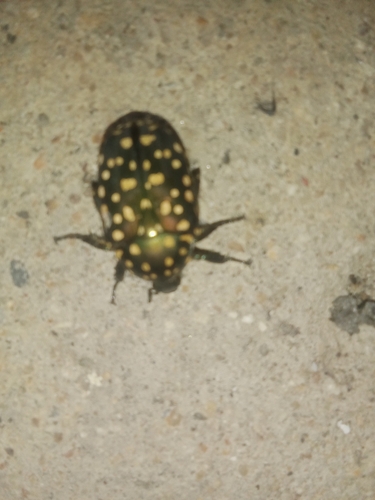
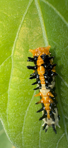
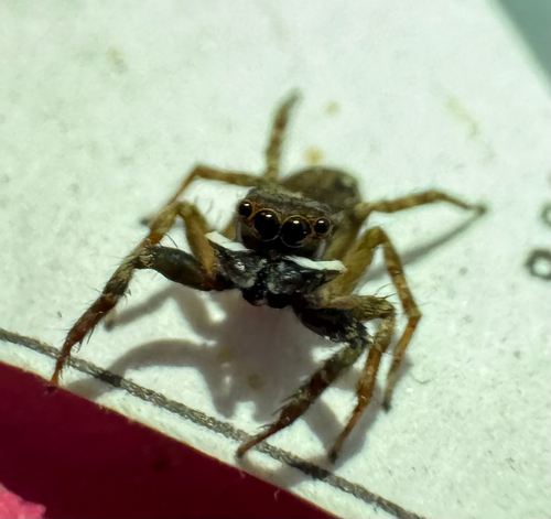
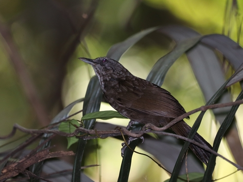

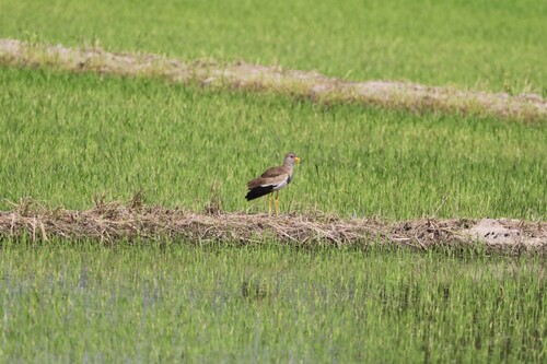
Research-grade observations from iNaturalist (within ~15 mi).
Events
Gallery
Sources
- • Wikidata
- • USGS Earthquake Catalog (global feed)
- • GBIF (Global Biodiversity Information Facility)
- • iNaturalist
- • Open-Meteo / sunrise-sunset.org