Browse / Thailand / Kanchanaburi / Nong Fai
Nong Fai
Kanchanaburitown
Demographic figures from National Statistical Office of Thailand. Overview below cites Wikipedia and may reference a different year.
City facts
Overview
Nong Fai is a town located in Kanchanaburi, Thailand. Up-to-date population figures for this locality are not available in the open datasets we monitor. Geographically it lies in the northern hemisphere at a tropical latitude (14.674°, 99.696°). Open solar datasets indicate about 1,848 kWh/m² of solar irradiance per year, combined with sunshine for roughly 72% of daylight hours. Climatically, locations at this latitude tend to experience warm temperatures throughout the year with pronounced wet and dry seasons. Continue scrolling for population, climate, environmental and points-of-interest data drawn from public sources.
Summary composed automatically from structured open data on this page. See our Terms for details.
History & geography
Geography
Coordinates & boundaries from the US Census TIGER/Line shapefiles.
Climate
Air quality
Walkability
Amenities nearby
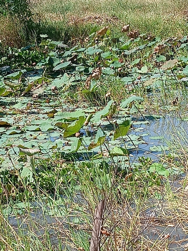
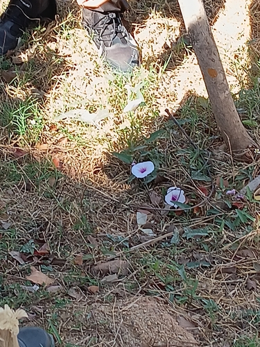
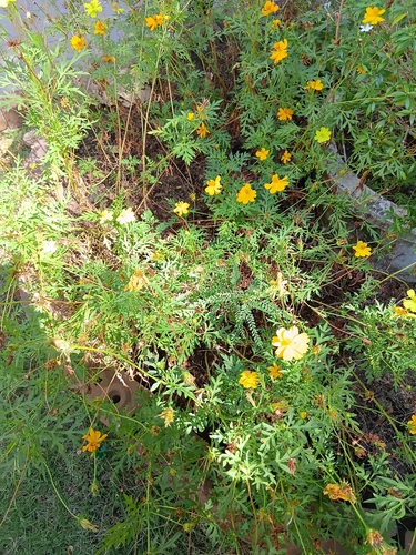
Wildlife & biodiversity
Earthquake history
Photos
Sights & places nearby
Notable people from here
Nearby places in Kanchanaburi
- Tha Muang48.7 mi away
- Yahşihan4319.4 mi away · pop. 31,308
- Poruba5085.4 mi away · pop. 197
- Hranické Loučky5087.9 mi away · pop. 73
- Špičky5089.5 mi away · pop. 305
- Kunčice5089.7 mi away · pop. 242
- Skalička5090.2 mi away · pop. 535
- Hluzov5090.9 mi away · pop. 235
- Ústí5091.5 mi away · pop. 560
- Provodovice5091.7 mi away · pop. 125
- Všechovice5092 mi away · pop. 885
- Lipná5094.2 mi away · pop. 77
Geography & sun
Elevation, sunrise/sunset and daylight from Open-Meteo. Solar climatology from NASA POWER.
Nearby airports
Public attention
Books about this place
Recent natural events nearby
Ground air-quality sensors
Recently spotted species
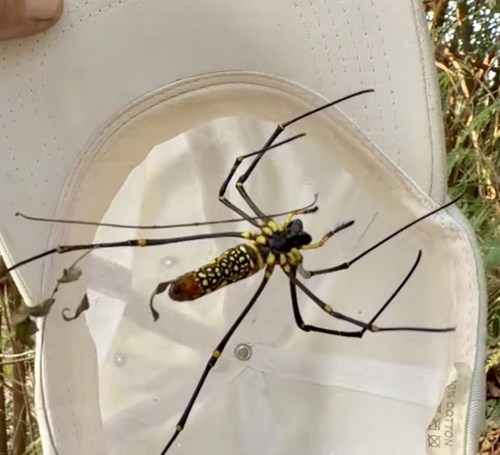
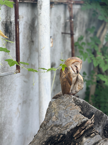
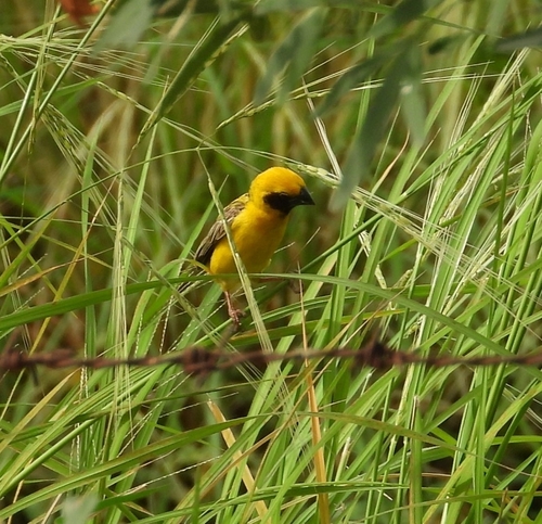
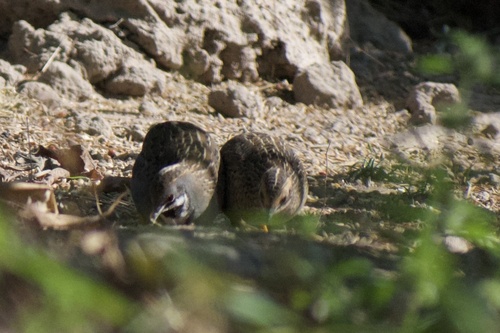
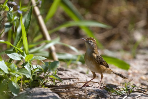
Research-grade observations from iNaturalist (within ~15 mi).
Events
Gallery
Geotagged photos within ~6 miles of Nong Fai, from Wikimedia Commons contributors.


Photos via Wikimedia Commons — see each image page for license & attribution.
Sources
- • Wikimedia Commons
- • Wikidata
- • iNaturalist
- • Open-Meteo / sunrise-sunset.org