Browse / Thailand / Kanchanaburi / Nong Ri
Nong Ri
Kanchanaburitown
Air quality index
Demographic figures from National Statistical Office of Thailand. Overview below cites Wikipedia and may reference a different year.
City facts
Overview
Found in Kanchanaburi, Thailand, Nong Ri is classified as a town in public datasets. The settlement sits at 14.524°, 99.465°, a tropical location in the northern hemisphere. Up-to-date population figures for this locality are not available in the open datasets we monitor. Climate records indicate average highs near 88.8°F and lows near 73.5°F and about 52.3 in of annual precipitation (a wet total). The location receives about 1,848 kWh/m² of solar irradiance per year and sunshine for roughly 72% of daylight hours. Based on its tropical position, residents likely encounter warm temperatures throughout the year with pronounced wet and dry seasons. Further detail — demographics, climate, nearby amenities and natural-hazard data — is compiled below from public open-data sources.
Summary composed automatically from structured open data on this page. See our Terms for details.
History & geography
Geography
Coordinates & boundaries from the US Census TIGER/Line shapefiles.
Climate
10-year averages from ERA5 reanalysis (Open-Meteo).
Air quality
Current readings from Open-Meteo Air Quality API (Copernicus CAMS European reanalysis).
Walkability
Amenities nearby
Wildlife & biodiversity
Most-observed species
- Black-crested BulbulPycnonotus flaviventris (Tickell, 1833) · Aves11
- Blue Whistling-ThrushMyophonus caeruleus (Scopoli, 1786) · Aves11
- Maculated Forest SkinkSphenomorphus maculatus (Blyth, 1853) · Squamata8
- Greater Racket-tailed DrongoDicrurus paradiseus (Linnaeus, 1766) · Aves6
- Puff-throated BabblerPellorneum ruficeps Swainson, 1832 · Aves5
- Great Himalayan Leaf-nosed BatHipposideros armiger (Hodgson, 1835) · Mammalia5
- Thailand bloodsuckerCalotes emma Gray, 1845 · Squamata4
- Ayeyarwady BulbulPycnonotus blanfordi Jerdon, 1862 · Aves4
Citizen-science & research observations from the Global Biodiversity Information Facility (GBIF).
Earthquake history
Most recent
- M 4.3 — 2018-12-3070 km SW of Huai Khot, Thailand
Events from the USGS Earthquake Catalog (global) (FDSN Event Web Service).
Photos
Sights & places nearby
Notable people from here
People born within ~10 km, from Wikidata (CC0). Click any name for their Wikipedia article.
Nearby places in Kanchanaburi
- Tha Muang39.8 mi away
- Poruba5082.8 mi away · pop. 197
- Hranické Loučky5085.3 mi away · pop. 73
- Špičky5086.9 mi away · pop. 305
- Kunčice5087.1 mi away · pop. 242
- Skalička5087.6 mi away · pop. 535
- Hluzov5088.3 mi away · pop. 235
- Ústí5088.9 mi away · pop. 560
- Provodovice5089.1 mi away · pop. 125
- Všechovice5089.4 mi away · pop. 885
- Lipná5091.6 mi away · pop. 77
- Hrabůvka5092 mi away · pop. 327
Geography & sun
Elevation, sunrise/sunset and daylight from Open-Meteo. Solar climatology from NASA POWER.
Nearby airports
Public attention
Books about Nong Ri
Search results from Open Library.
Recent natural events nearby
Ground air-quality sensors
Recently spotted species
Research-grade observations from iNaturalist (within ~15 mi).
Events
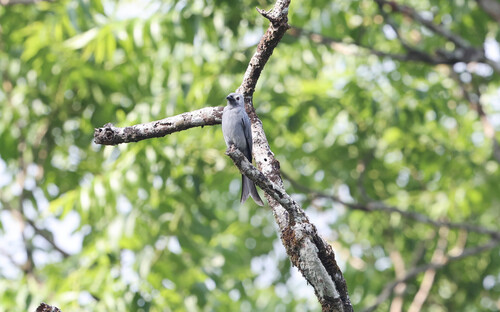
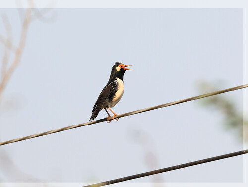
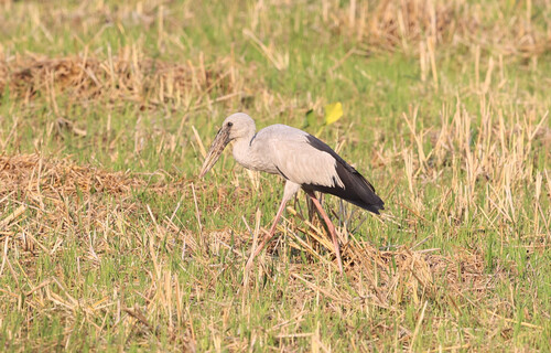
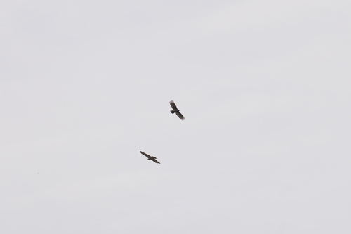
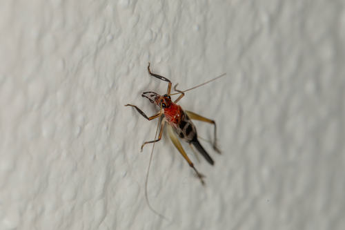
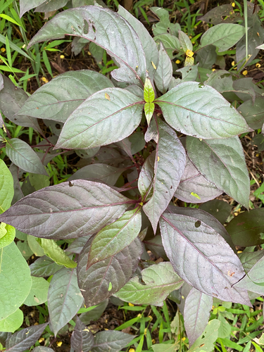
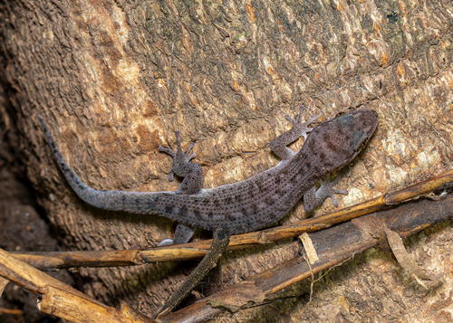
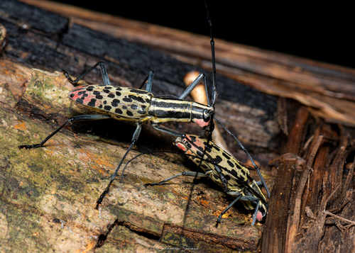
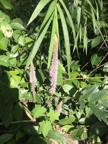
Gallery
Geotagged photos within ~6 miles of Nong Ri, from Wikimedia Commons contributors.

Photos via Wikimedia Commons — see each image page for license & attribution.
Sources
- • Open-Meteo (ERA5 reanalysis)
- • Wikimedia Commons
- • Wikidata
- • Open-Meteo Air Quality (CAMS)
- • USGS Earthquake Catalog (global feed)
- • GBIF (Global Biodiversity Information Facility)
- • iNaturalist
- • Open-Meteo / sunrise-sunset.org
- • Open Library