Browse / Thailand / Chachoengsao / Phanom Sarakham
Phanom Sarakham
Chachoengsaotown

Phanom Sarakham
Demographic figures from National Statistical Office of Thailand. Overview below cites Wikipedia and may reference a different year.
City facts
Overview
Phanom Sarakham is a district (amphoe) in the central part of Chachoengsao province, central Thailand.
Read more on WikipediaHistory & geography
Geography
Coordinates & boundaries from the US Census TIGER/Line shapefiles.
Climate
10-year averages from ERA5 reanalysis (Open-Meteo).
Air quality
Walkability
Amenities nearby
Wildlife & biodiversity
Most-observed species
- Zebra DoveGeopelia striata (Linnaeus, 1766) · Aves148
- Red Collared-DoveStreptopelia tranquebarica (Hermann, 1804) · Aves139
- Rock PigeonColumba livia J.F.Gmelin, 1789 · Aves132
- Red-wattled LapwingVanellus indicus (Boddaert, 1783) · Aves121
- Great MynaAcridotheres grandis Moore, 1858 · Aves119
- Asian KoelEudynamys scolopaceus (Linnaeus, 1758) · Aves119
- Eurasian Tree SparrowPasser montanus (Linnaeus, 1758) · Aves109
- Common MynaAcridotheres tristis (Linnaeus, 1766) · Aves107
Citizen-science & research observations from the Global Biodiversity Information Facility (GBIF).
Earthquake history
Events from the USGS Earthquake Catalog (global) (FDSN Event Web Service).
Photos
Sights & places nearby
Notable people from here
People born within ~10 km, from Wikidata (CC0). Click any name for their Wikipedia article.
Nearby places in Chachoengsao
Geography & sun
Elevation, sunrise/sunset and daylight from Open-Meteo. Solar climatology from NASA POWER.
Nearby airports
Public attention
Pageview totals from the Wikimedia Pageviews API.
Books about Phanom Sarakham
Search results from Open Library.
Recent natural events nearby
Ground air-quality sensors
Recently spotted species
Research-grade observations from iNaturalist (within ~15 mi).
Events
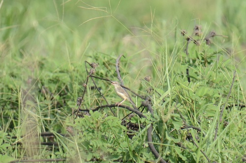
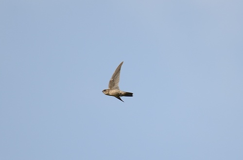
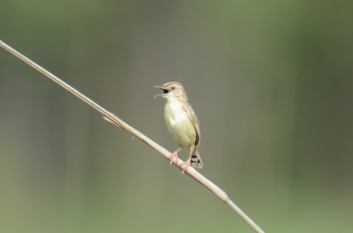
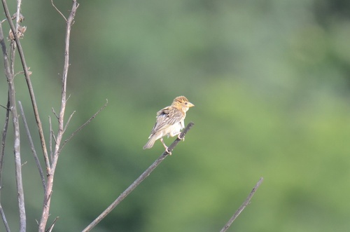
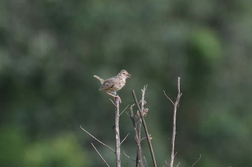
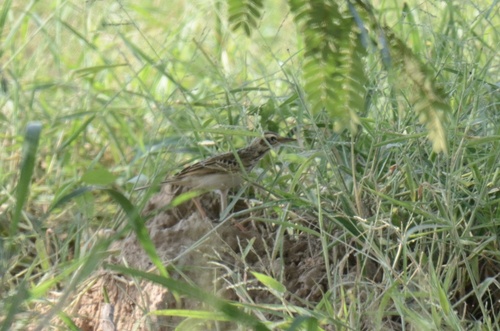
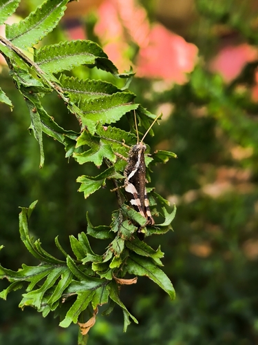
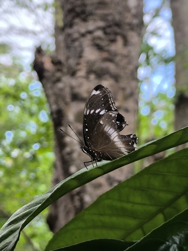
Gallery
Geotagged photos within ~6 miles of Phanom Sarakham, from Wikimedia Commons contributors.


Photos via Wikimedia Commons — see each image page for license & attribution.
Sources
- • Wikipedia
- • Open-Meteo (ERA5 reanalysis)
- • Wikimedia Commons
- • Wikidata
- • USGS Earthquake Catalog (global feed)
- • GBIF (Global Biodiversity Information Facility)
- • iNaturalist
- • Open-Meteo / sunrise-sunset.org
- • Wikipedia Pageviews API
- • Open Library