Browse / Thailand / Buriram / Prakhon Chai
Prakhon Chai
Buriramtown

Prakhon Chai
Air quality index
Demographic figures from National Statistical Office of Thailand. Overview below cites Wikipedia and may reference a different year.
City facts
Overview
Prakhon Chai is a district (amphoe) in the southern part of Buriram province, northeastern Thailand. The district lies approximately 50 km south of Buriram City.
Read more on WikipediaHistory & geography
Geography
Coordinates & boundaries from the US Census TIGER/Line shapefiles.
Climate
10-year averages from ERA5 reanalysis (Open-Meteo).
Air quality
Current readings from Open-Meteo Air Quality API (Copernicus CAMS European reanalysis).
Walkability
Amenities nearby
Wildlife & biodiversity
Earthquake history
Events from the USGS Earthquake Catalog (global) (FDSN Event Web Service).
Photos
Sights & places nearby
Notable people from here
People born within ~10 km, from Wikidata (CC0). Click any name for their Wikipedia article.
Nearby places in Buriram
Geography & sun
Elevation, sunrise/sunset and daylight from Open-Meteo. Solar climatology from NASA POWER.
Nearby airports
Public attention
Pageview totals from the Wikimedia Pageviews API.
Books about Prakhon Chai
Search results from Open Library.
Recent natural events nearby
Ground air-quality sensors
Recently spotted species


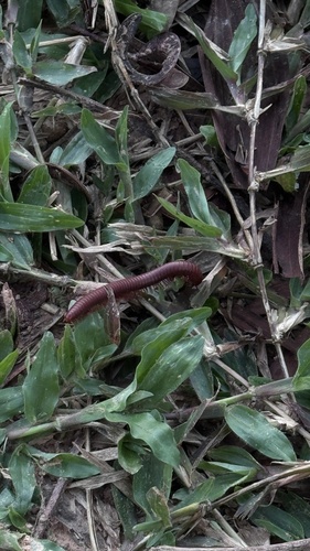
Research-grade observations from iNaturalist (within ~15 mi).
Events
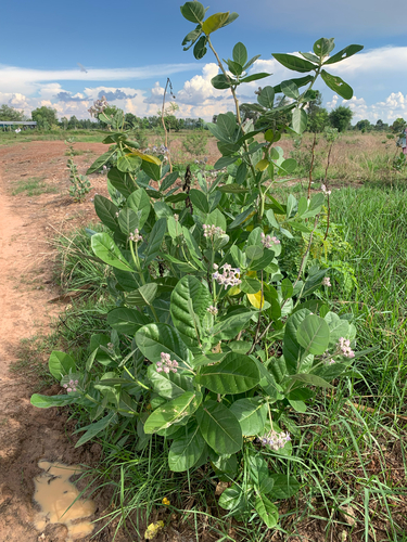
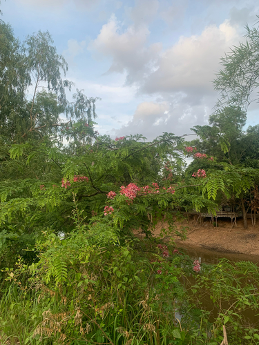
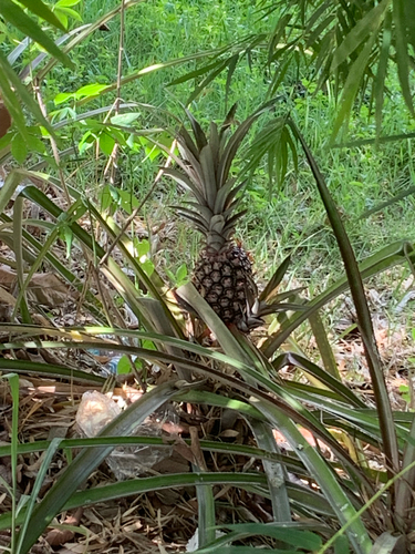
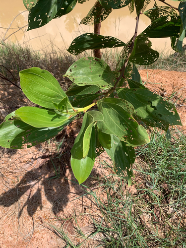
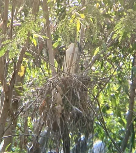
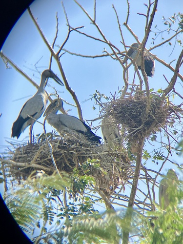
Gallery
Geotagged photos within ~6 miles of Prakhon Chai, from Wikimedia Commons contributors.


_-_panoramio.jpg)
_-_panoramio_(3).jpg)

Photos via Wikimedia Commons — see each image page for license & attribution.
Sources
- • Wikipedia
- • Open-Meteo (ERA5 reanalysis)
- • Wikimedia Commons
- • Wikidata
- • Open-Meteo Air Quality (CAMS)
- • USGS Earthquake Catalog (global feed)
- • iNaturalist
- • Open-Meteo / sunrise-sunset.org
- • Wikipedia Pageviews API
- • Open Library