Browse / Thailand / Chiang Rai / Rong Chang
Rong Chang
Chiang Raitown
Air quality index
Demographic figures from National Statistical Office of Thailand. Overview below cites Wikipedia and may reference a different year.
City facts
Overview
Situated in Chiang Rai, Thailand, Rong Chang is a town. Detailed population figures are not currently catalogued in the open data sources we track. Rong Chang maps to 19.496°, 99.959° — squarely within the tropical belt. The location receives about 1,787 kWh/m² of solar irradiance per year and sunshine for roughly 70% of daylight hours. Climatically, locations at this latitude tend to experience warm temperatures throughout the year with pronounced wet and dry seasons. Read on for charts and tables covering demographics, climate, hazards, schools, wildlife and other open-data indicators for Rong Chang.
Summary composed automatically from structured open data on this page. See our Terms for details.
History & geography
Geography
Coordinates & boundaries from the US Census TIGER/Line shapefiles.
Climate
Air quality
Current readings from Open-Meteo Air Quality API (Copernicus CAMS European reanalysis).
Walkability
Amenities nearby
Wildlife & biodiversity
Most-observed species
- Spotted doveSpilopelia chinensis (Scopoli, 1786) · Aves41
- Green PeafowlPavo muticus Linnaeus, 1766 · Aves34
- Barn SwallowHirundo rustica Linnaeus, 1758 · Aves32
- Ashy WoodswallowArtamus fuscus Vieillot, 1817 · Aves29
- Scaly-breasted MuniaLonchura punctulata (Linnaeus, 1758) · Aves28
- Sooty-headed BulbulPycnonotus aurigaster (Vieillot, 1818) · Aves27
- Ashy DrongoDicrurus leucophaeus Vieillot, 1817 · Aves23
- Common TailorbirdOrthotomus sutorius (Pennant, 1769) · Aves22
Citizen-science & research observations from the Global Biodiversity Information Facility (GBIF).
Earthquake history
Most recent
- M 4.2 — 2025-06-0243 km NNE of Chiang Mai, Thailand
- M 3.8 — 2019-10-1821 km NE of San Kamphaeng, Thailand
- M 4.6 — 2019-02-2026 km SW of Mae Chai, Thailand
- M 4.5 — 2014-08-2444 km SSE of Fang, Thailand
- M 4.3 — 2014-05-1229 km SSW of Chiang Rai, Thailand
- M 4.1 — 2014-05-0939 km SSE of Fang, Thailand
Events from the USGS Earthquake Catalog (global) (FDSN Event Web Service).
Photos
Sights & places nearby
Notable people from here
Nearby places in Chiang Rai
- Chiang Saen54.4 mi away
- Chiang Khong60.3 mi away
- Gerze4043.8 mi away · pop. 18,453
- Sinop4046.7 mi away · pop. 56,479
- Durağan4050.7 mi away · pop. 7,566
- Erfelek4059 mi away · pop. 4,011
- Saraydüzü4061.4 mi away · pop. 1,884
- Boyabat4065.7 mi away · pop. 28,693
- Ayancık4075.5 mi away · pop. 13,382
- Türkeli4088.3 mi away · pop. 6,514
- Pedaso5117.1 mi away · pop. 1,968
- Marina di Altidona5117.3 mi away · pop. 1,269
Geography & sun
Elevation, sunrise/sunset and daylight from Open-Meteo. Solar climatology from NASA POWER.
Nearby airports
Public attention
Books about this place
Recent natural events nearby
Ground air-quality sensors
Recently spotted species
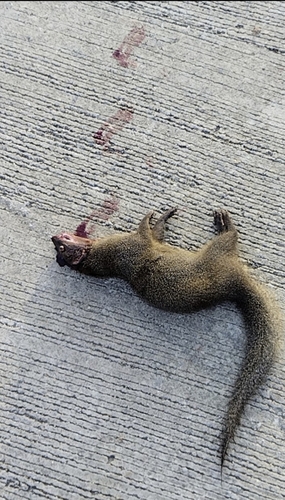
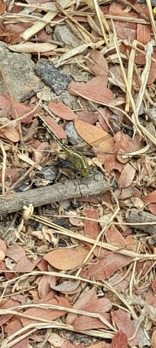
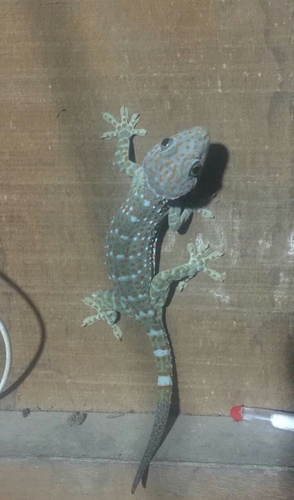
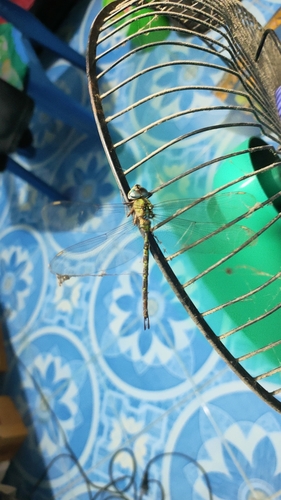
Research-grade observations from iNaturalist (within ~15 mi).
Events
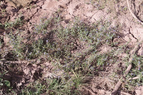
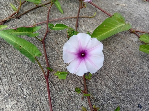
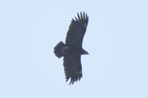
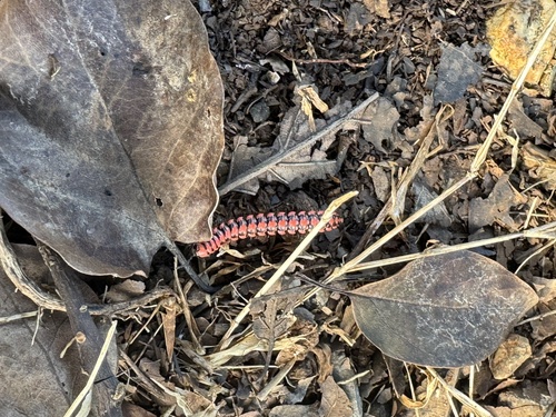
Gallery
Geotagged photos within ~6 miles of Rong Chang, from Wikimedia Commons contributors.


Photos via Wikimedia Commons — see each image page for license & attribution.
Sources
- • Wikimedia Commons
- • Wikidata
- • Open-Meteo Air Quality (CAMS)
- • USGS Earthquake Catalog (global feed)
- • GBIF (Global Biodiversity Information Facility)
- • iNaturalist
- • Open-Meteo / sunrise-sunset.org