Browse / Thailand / Tak / Sam Ngao
Sam Ngao
Taktown
Air quality index
Demographic figures from National Statistical Office of Thailand. Overview below cites Wikipedia and may reference a different year.
City facts
Overview
Sam Ngao sits in Tak, Thailand and is identified as a town. On the world map it falls within the Eastern Hemisphere, specifically at 17.242°, 99.026°. No reliable population estimate is published for this entry in the open data we rely on. Climatically, locations at this latitude tend to experience warm temperatures throughout the year with pronounced wet and dry seasons. Solar-resource estimates put the area at about 1,842 kWh/m² of solar irradiance per year with sunshine for roughly 72% of daylight hours. Open-data panels below dive into population trends, climate normals, environmental indicators and nearby places.
Summary composed automatically from structured open data on this page. See our Terms for details.
History & geography
Geography
Coordinates & boundaries from the US Census TIGER/Line shapefiles.
Climate
Air quality
Current readings from Open-Meteo Air Quality API (Copernicus CAMS European reanalysis).
Walkability
Amenities nearby
Wildlife & biodiversity
Most-observed species
- Great MynaAcridotheres grandis Moore, 1858 · Aves663
- Zebra DoveGeopelia striata (Linnaeus, 1766) · Aves589
- Large-billed CrowCorvus macrorhynchos Wagler, 1827 · Aves588
- Barn SwallowHirundo rustica Linnaeus, 1758 · Aves586
- Little Egret/Western Reef-HeronEgretta garzetta (Linnaeus, 1766) · Aves555
- Rock PigeonColumba livia J.F.Gmelin, 1789 · Aves555
- Asian Pied StarlingGracupica contra (Linnaeus, 1758) · Aves539
- Red-wattled LapwingVanellus indicus (Boddaert, 1783) · Aves523
Citizen-science & research observations from the Global Biodiversity Information Facility (GBIF).
Earthquake history
Events from the USGS Earthquake Catalog (global) (FDSN Event Web Service).
Photos
Sights & places nearby
Notable people from here
People born within ~10 km, from Wikidata (CC0). Click any name for their Wikipedia article.
Nearby places in Tak
- Siverek3854.1 mi away · pop. 250,100
- Haliliye3879.9 mi away · pop. 392,661
- Şanlıurfa3880.1 mi away · pop. 2,143,020
- Bozova3895.6 mi away · pop. 54,641
- Malé Tresné4992.4 mi away · pop. 75
- Brťoví4992.6 mi away · pop. 85
- Bolešín4992.9 mi away · pop. 85
- Chlébské4993.4 mi away · pop. 90
- Švařec4993.7 mi away · pop. 70
- Věstín4993.7 mi away · pop. 54
- Dolní Čepí4993.9 mi away · pop. 87
- Vír4994.5 mi away · pop. 759
Geography & sun
Elevation, sunrise/sunset and daylight from Open-Meteo. Solar climatology from NASA POWER.
Nearby airports
Public attention
Books about Sam Ngao
Search results from Open Library.
Recent natural events nearby
Ground air-quality sensors
Recently spotted species
Research-grade observations from iNaturalist (within ~15 mi).
Events
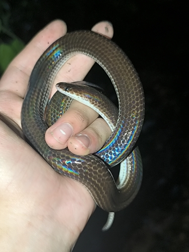
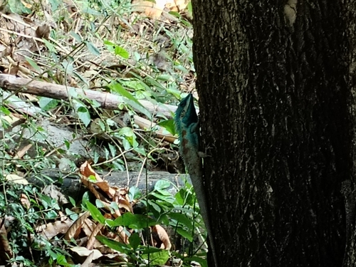
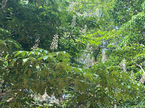
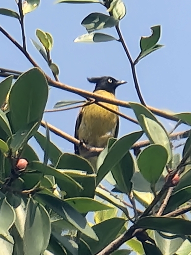
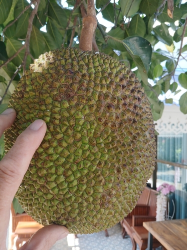
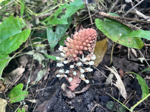
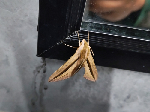
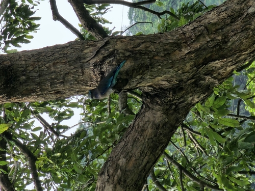
Gallery
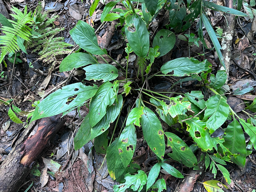
Geotagged photos within ~6 miles of Sam Ngao, from Wikimedia Commons contributors.
 2.7 mi
 2.7 mi
 2.7 mi
 2.7 mi
 2.7 mi
 2.7 mi
 2.7 mi
 2.7 mi
 2.7 mi
 2.7 mi
 2.7 mi
 2.7 mi
 2.7 mi
 2.7 mi
 2.7 mi
 2.7 mi
 2.7 mi
 2.7 mi
 2.7 mi
 2.7 mi
 2.7 mi
 2.7 mi
 2.7 mi
 2.7 mi
Photos via Wikimedia Commons — see each image page for license & attribution.
Sources
- • Wikimedia Commons
- • Wikidata
- • Open-Meteo Air Quality (CAMS)
- • USGS Earthquake Catalog (global feed)
- • GBIF (Global Biodiversity Information Facility)
- • iNaturalist
- • Open-Meteo / sunrise-sunset.org
- • Open Library