Browse / Thailand / Rayong / Song Salueng
Song Salueng
Rayongtown
Air quality index
Demographic figures from National Statistical Office of Thailand. Overview below cites Wikipedia and may reference a different year.
City facts
Overview
Within Rayong, Thailand, Song Salueng stands as a town. On the world map it falls within the Eastern Hemisphere, specifically at 12.713°, 101.562°. Detailed population figures are not currently catalogued in the open data sources we track. The latitude suggests warm temperatures throughout the year with pronounced wet and dry seasons. The location receives about 1,852 kWh/m² of solar irradiance per year and sunshine for roughly 72% of daylight hours. Further detail — demographics, climate, nearby amenities and natural-hazard data — is compiled below from public open-data sources.
Summary composed automatically from structured open data on this page. See our Terms for details.
History & geography
Geography
Coordinates & boundaries from the US Census TIGER/Line shapefiles.
Climate
Air quality
Current readings from Open-Meteo Air Quality API (Copernicus CAMS European reanalysis).
Walkability
Amenities nearby
Wildlife & biodiversity
Most-observed species
- Ayeyarwady BulbulPycnonotus blanfordi Jerdon, 1862 · Aves926
- Malaysian Pied-FantailRhipidura javanica (Sparrman, 1788) · Aves915
- Asian KoelEudynamys scolopaceus (Linnaeus, 1758) · Aves862
- Asian Brown FlycatcherMuscicapa latirostris Raffles, 1822 · Aves861
- Collared KingfisherTodiramphus chloris (Boddaert, 1783) · Aves818
- Mangrove WhistlerPachycephala cinerea (Blyth, 1847) · Aves726
- Pacific Reef-HeronEgretta sacra (Gmelin, 1789) · Aves724
- Common MynaAcridotheres tristis (Linnaeus, 1766) · Aves617
Citizen-science & research observations from the Global Biodiversity Information Facility (GBIF).
Earthquake history
Events from the USGS Earthquake Catalog (global) (FDSN Event Web Service).
Photos
Sights & places nearby
Notable people from here
Nearby places in Rayong
- Dolie4951.7 mi away
- Fabbrica Curone5718.9 mi away · pop. 570
- Montacuto5721.2 mi away · pop. 339
- Cabella Ligure5722.8 mi away · pop. 641
- Sant'Agata5724.2 mi away
- Rocchetta Ligure5724.6 mi away · pop. 220
- Mongiardino Ligure5724.9 mi away · pop. 204
- Casasco5725.1 mi away · pop. 149
- Casalnoceto5725.2 mi away · pop. 877
- Garbagna5726.2 mi away · pop. 681
- Pontecurone5726.9 mi away · pop. 3,781
- Castellar Guidobono5726.9 mi away · pop. 401
Geography & sun
Elevation, sunrise/sunset and daylight from Open-Meteo. Solar climatology from NASA POWER.
Nearby airports
Public attention
Books about this place
Recent natural events nearby
Ground air-quality sensors
Recently spotted species
Research-grade observations from iNaturalist (within ~15 mi).
Events
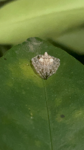
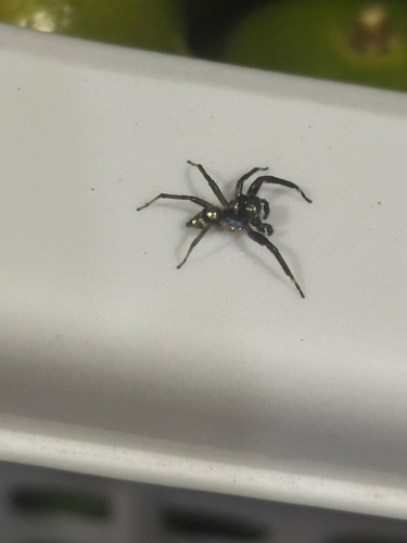
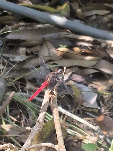
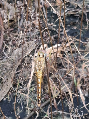
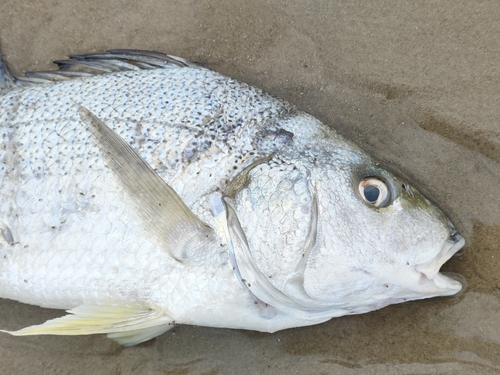
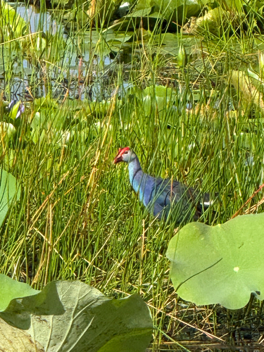
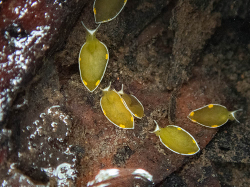
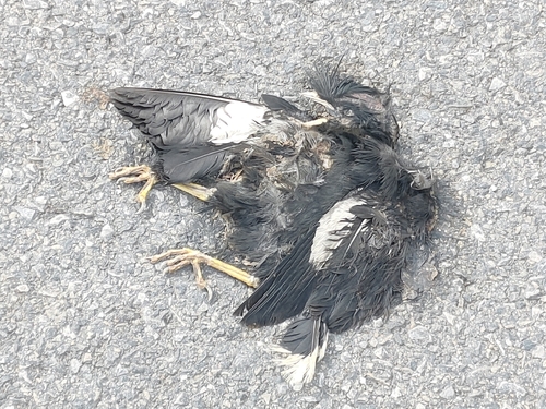
Gallery
Geotagged photos within ~6 miles of Song Salueng, from Wikimedia Commons contributors.


.jpg)
.jpg)


.jpg)
.jpg)
.jpg)
.jpg)
.jpg)
_-_panoramio.jpg)
Photos via Wikimedia Commons — see each image page for license & attribution.
Sources
- • Wikimedia Commons
- • Wikidata
- • Open-Meteo Air Quality (CAMS)
- • USGS Earthquake Catalog (global feed)
- • GBIF (Global Biodiversity Information Facility)
- • iNaturalist
- • Open-Elevation
- • Open-Meteo / sunrise-sunset.org