Browse / Thailand / Nakhon Ratchasima / Tha Chang
Tha Chang
Nakhon Ratchasimatown
Demographic figures from National Statistical Office of Thailand. Overview below cites Wikipedia and may reference a different year.
City facts
Overview
Tha Chang is a tambon (subdistrict) in Chaloem Phra Kiat district, Nakhon Ratchasima province, Thailand.
Read more on WikipediaHistory & geography
Geography
Tha Chang is part of Khorat Geopark, a plot of land at Lam Takhong river, part of cuesta (known locally as Khao-Meed-I-To). Fossils, especially primitive elephants were found, so it is an important international geopark. Khorat Geopark covers five districts of Nakhon Ratchasima, Sikhio, Sung Noen, Kham Thale So, Mueang Nakhon Ratchasima and Chaloem Phra Kiat. UNESCO certified it as the 2nd UNESCO Global Geoparks of Thailand and is the 4th place in the world in May 2023. Fossils of 10 genera out of 55 genera of elephant ever discovered on earth were found here. Four-tusked elephant, shovel tusker and stegodon are part of them. In addition, some extinct mammals have also been discovered here, such as Merycopotamus thachangensis. It was named to honour the subdistrict. Lam Takhong and Mun rivers are the lifeblood of the locals. Tha Chang is about northeast of Bangkok. Adjacent subdistricts are (from north clockwise): Nong Ngu Lueam in its district, Lam Mun in Non Sung district, Chang Thong in its district, Si Lako in Chakkarat district, Nong Yang in its district, Si Suk in Chakkarat district, and Phra Phut in its district.
Excerpted from the corresponding Wikipedia article (CC BY-SA).
Geography
Coordinates & boundaries from the US Census TIGER/Line shapefiles.
Climate
Air quality
Walkability
Amenities nearby
Wildlife & biodiversity
Earthquake history
Photos
Sights & places nearby
Notable people from here
Nearby places in Nakhon Ratchasima
Geography & sun
Elevation, sunrise/sunset and daylight from Open-Meteo. Solar climatology from NASA POWER.
Nearby airports
Public attention
Pageview totals from the Wikimedia Pageviews API.
Books about Tha Chang
Search results from Open Library.
Recent natural events nearby
Ground air-quality sensors
Recently spotted species
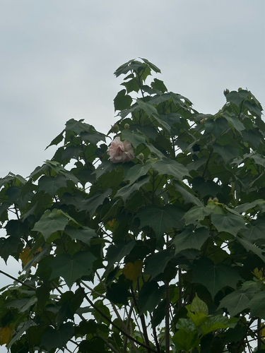
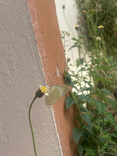
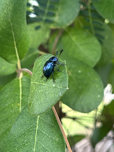
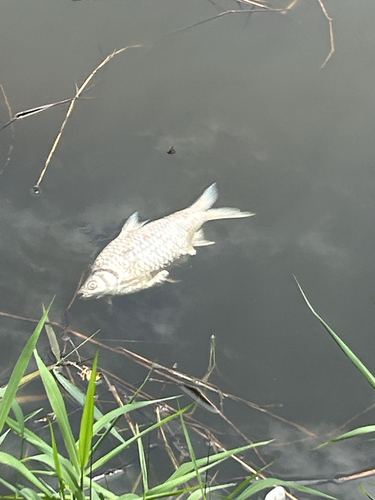
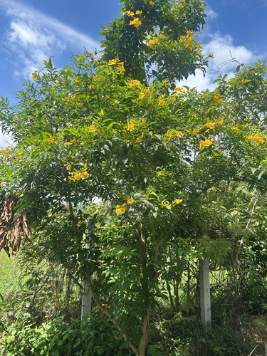
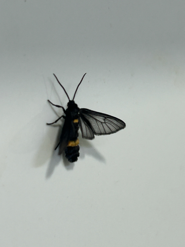
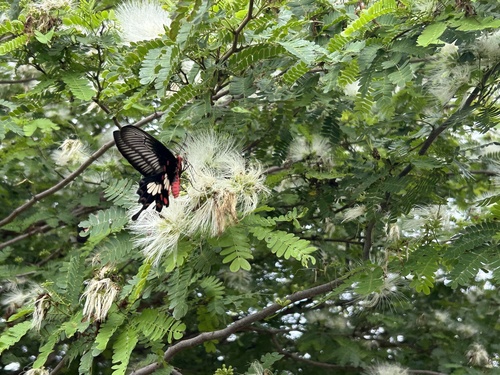
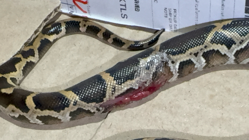

Research-grade observations from iNaturalist (within ~15 mi).
Events
Gallery
Sources
- • Wikipedia
- • Wikidata
- • iNaturalist
- • Open-Meteo / sunrise-sunset.org
- • Wikipedia Pageviews API
- • Open Library