Browse / Thailand / Kalasin / Tha Khantho
Tha Khantho
Kalasintown
Air quality index
Demographic figures from National Statistical Office of Thailand. Overview below cites Wikipedia and may reference a different year.
City facts
Overview
Within Kalasin, Thailand, Tha Khantho stands as a town. On the world map it falls within the Eastern Hemisphere, specifically at 16.938°, 103.231°. Detailed population figures are not currently catalogued in the open data sources we track. Solar-resource estimates put the area at about 1,856 kWh/m² of solar irradiance per year with sunshine for roughly 73% of daylight hours. Based on its tropical position, residents likely encounter warm temperatures throughout the year with pronounced wet and dry seasons. Open-data panels below dive into population trends, climate normals, environmental indicators and nearby places.
Summary composed automatically from structured open data on this page. See our Terms for details.
History & geography
Geography
Coordinates & boundaries from the US Census TIGER/Line shapefiles.
Climate
Air quality
Current readings from Open-Meteo Air Quality API (Copernicus CAMS European reanalysis).
Walkability
Amenities nearby
Wildlife & biodiversity
Most-observed species
- Asian Weaver AntOecophylla smaragdina (Fabricius, 1775) · Insecta4
- Long-tailed Sun SkinkEutropis longicaudata (Hallowell, 1857) · Squamata4
- StrawberrytreeMuntingia calabura L. · Magnoliopsida3
- Minnieroot, Sheep potato, Bluebell, Spearpod, Fever root, Snapdragon root, Popping pod, Popping seed, Daniel's great gun, Iron root, Large bell-flowerRuellia tuberosa L. · Magnoliopsida3
- Andersen's Leaf-nosed BatHipposideros gentilis K.Andersen, 1918 · Mammalia3
- Red JunglefowlGallus gallus (Linnaeus, 1758) · Aves3
- Cicindela aurulenta Fabricius, 1801Cicindela aurulenta Fabricius, 1801 · Insecta2
- Siamese Blue Crested LizardCalotes goetzi Wagner, Ihlow, Hartmann, Flecks, Schmitz & Böhme, 2021 · Squamata2
Citizen-science & research observations from the Global Biodiversity Information Facility (GBIF).
Earthquake history
Events from the USGS Earthquake Catalog (global) (FDSN Event Web Service).
Photos
Sights & places nearby
Notable people from here
Nearby places in Kalasin
Geography & sun
Elevation, sunrise/sunset and daylight from Open-Meteo. Solar climatology from NASA POWER.
Nearby airports
Public attention
Books about Tha Khantho
Search results from Open Library.
Recent natural events nearby
Ground air-quality sensors
Recently spotted species
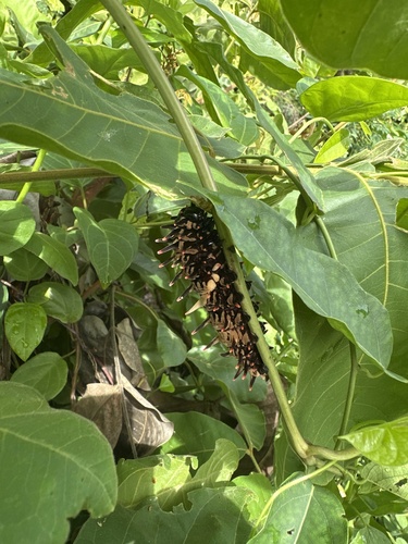
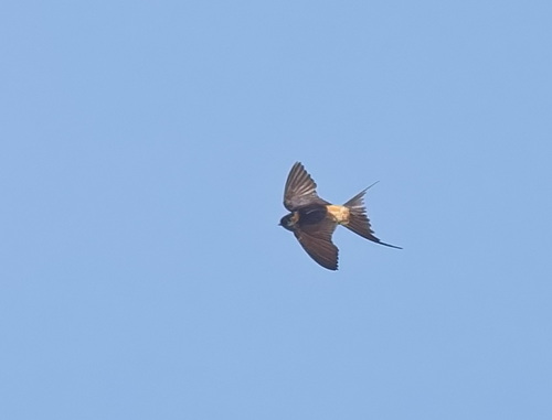
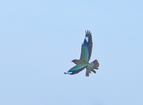
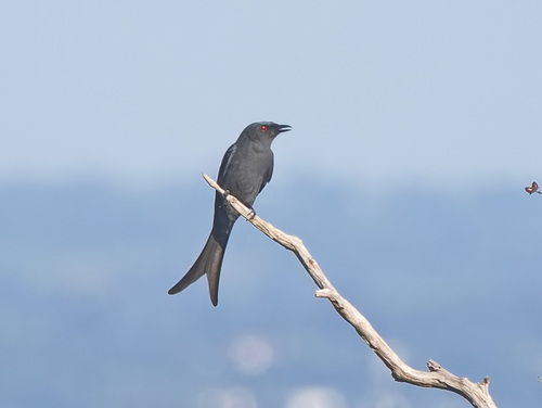
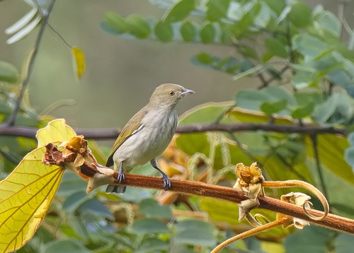
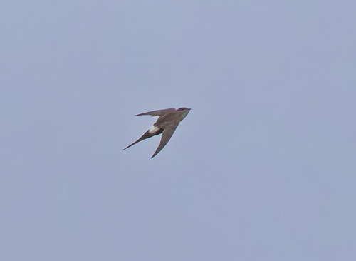
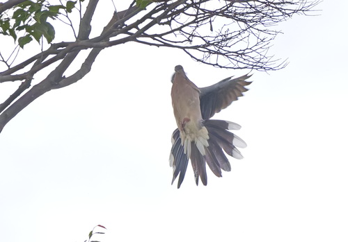
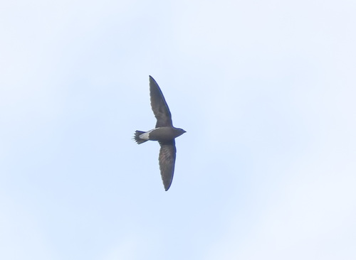
Research-grade observations from iNaturalist (within ~15 mi).
Events
Gallery
Sources
- • Wikidata
- • Open-Meteo Air Quality (CAMS)
- • USGS Earthquake Catalog (global feed)
- • GBIF (Global Biodiversity Information Facility)
- • iNaturalist
- • Open-Meteo / sunrise-sunset.org
- • Open Library