Browse / Thailand / Loei / Tha Li
Tha Li
Loeitown
Air quality index
Demographic figures from National Statistical Office of Thailand. Overview below cites Wikipedia and may reference a different year.
City facts
Overview
Situated in Loei, Thailand, Tha Li is a town. Up-to-date population figures for this locality are not available in the open datasets we monitor. Its coordinates of 17.622°, 101.421° place it in the tropical zone of the northern hemisphere. The location receives about 1,772 kWh/m² of solar irradiance per year and sunshine for roughly 69% of daylight hours. Its latitude implies a climate characterised by warm temperatures throughout the year with pronounced wet and dry seasons. Additional figures on demographics, climate, geography and points of interest appear in the sections that follow, all drawn from open public datasets.
Summary composed automatically from structured open data on this page. See our Terms for details.
History & geography
Geography
Coordinates & boundaries from the US Census TIGER/Line shapefiles.
Climate
Air quality
Current readings from Open-Meteo Air Quality API (Copernicus CAMS European reanalysis).
Walkability
Amenities nearby
Wildlife & biodiversity
Most-observed species
- Sooty-headed BulbulPycnonotus aurigaster (Vieillot, 1818) · Aves9
- Large-billed CrowCorvus macrorhynchos Wagler, 1827 · Aves8
- Blue-winged MinlaMinla cyanouroptera (Hodgson, 1837) · Aves7
- Flavescent BulbulPycnonotus flavescens Blyth, 1845 · Aves5
- White-rumped ShamaCopsychus malabaricus (Scopoli, 1786) · Aves5
- Common TailorbirdOrthotomus sutorius (Pennant, 1769) · Aves5
- Puff-throated BabblerPellorneum ruficeps Swainson, 1832 · Aves5
- Fire-breasted FlowerpeckerDicaeum ignipectus (Blyth, 1843) · Aves4
Citizen-science & research observations from the Global Biodiversity Information Facility (GBIF).
Earthquake history
Most recent
- M 4.5 — 2019-10-1614 km NW of Loei, Thailand
Events from the USGS Earthquake Catalog (global) (FDSN Event Web Service).
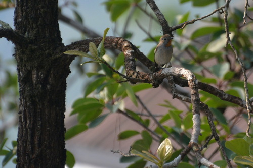
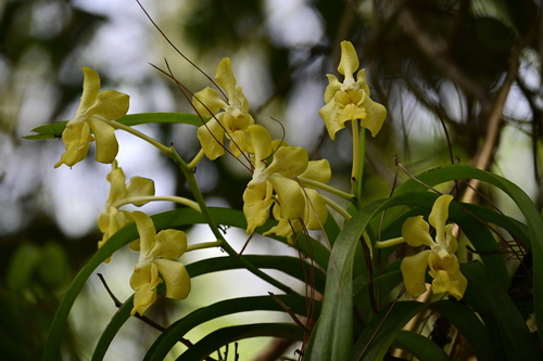
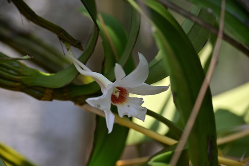
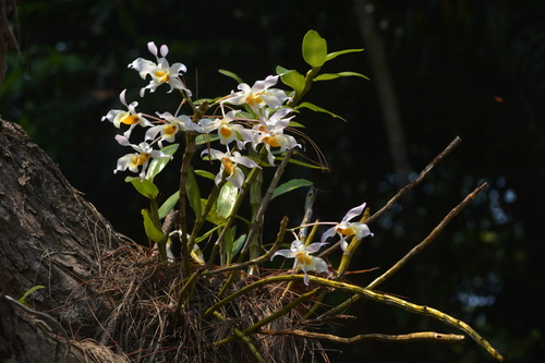
Photos
Sights & places nearby
Notable people from here
Nearby places in Loei
Geography & sun
Elevation, sunrise/sunset and daylight from Open-Meteo. Solar climatology from NASA POWER.
Nearby airports
Public attention
Books about this place
Recent natural events nearby
Ground air-quality sensors
Recently spotted species


Research-grade observations from iNaturalist (within ~15 mi).
Events
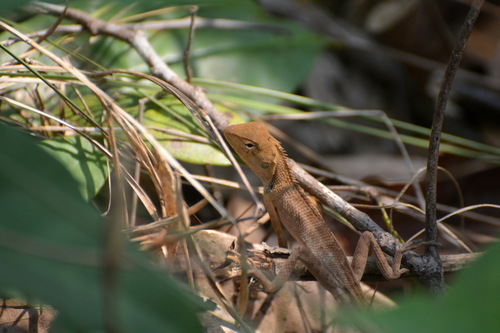
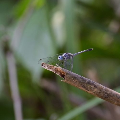
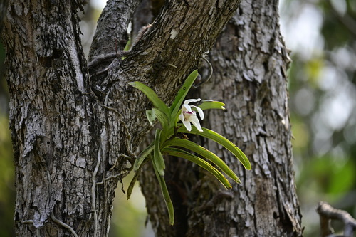
Gallery
Geotagged photos within ~6 miles of Tha Li, from Wikimedia Commons contributors.


Photos via Wikimedia Commons — see each image page for license & attribution.
Sources
- • Wikimedia Commons
- • Wikidata
- • Open-Meteo Air Quality (CAMS)
- • USGS Earthquake Catalog (global feed)
- • GBIF (Global Biodiversity Information Facility)
- • iNaturalist
- • Open-Meteo / sunrise-sunset.org