Browse / Thailand / Phichit / Tha Lo
Tha Lo
Phichittown
Air quality index
Demographic figures from National Statistical Office of Thailand. Overview below cites Wikipedia and may reference a different year.
City facts
Overview
Tha Lo is a tambon (sub-district) of Mueang Phichit District, Phichit Province, upper central Thailand.
Read more on WikipediaHistory & geography
History
The name "Tha Lo" is directly translated as "pier of mules", referring to a pier on the riverbank where mules were once loaded and unloaded. However, according to local tradition, the name is thought to have been distorted from "Tha Lo" (ท่าล้อ ), meaning "pier of wheels". In the past, this area was a hub for wheeled vehicles used for hauling timber and wagons that transported agricultural products. Wat Tha Lo serves as the community's spiritual anchor, while San Chao Mae Thap Thim Tha Lo, a Chinese temple located on the east bank of the Nan River, houses an ancient shrine dedicated to Shui Wei Sheng Niang, the goddess of the sea and navigation in Chinese belief. The wooden idol enshrined here is considered the oldest carved image of Shui Wei Sheng Niang in Thailand. Today, locals continue to preserve their traditional way of life.
Geography
Its terrain is a floodplain, suitable for agriculture, with a total area of 21.9 km2 (13,688 rai). Sub-districts adjacent to Tha Lo are (from north clockwise): Phi Lom in Bang Krathum District of Phitsanulok Province, Pa Makhap in its district, Pak Thang in its district, and Phai Khwang in its district, respectively.
Excerpted from the corresponding Wikipedia article (CC BY-SA).
Geography
Coordinates & boundaries from the US Census TIGER/Line shapefiles.
Climate
Air quality
Current readings from Open-Meteo Air Quality API (Copernicus CAMS European reanalysis).
Walkability
Amenities nearby
Wildlife & biodiversity
Most-observed species
- Great MynaAcridotheres grandis Moore, 1858 · Aves132
- Rock PigeonColumba livia J.F.Gmelin, 1789 · Aves132
- Black DrongoDicrurus macrocercus Vieillot, 1817 · Aves129
- Red Collared-DoveStreptopelia tranquebarica (Hermann, 1804) · Aves125
- Asian KoelEudynamys scolopaceus (Linnaeus, 1758) · Aves124
- Asian OpenbillAnastomus oscitans (Boddaert, 1783) · Aves123
- Asian Pied StarlingGracupica contra (Linnaeus, 1758) · Aves111
- Barn SwallowHirundo rustica Linnaeus, 1758 · Aves109
Citizen-science & research observations from the Global Biodiversity Information Facility (GBIF).
Earthquake history
Most recent
- M 4.1 — 2023-06-2824 km NNE of Khanu Woralaksaburi, Thailand
Events from the USGS Earthquake Catalog (global) (FDSN Event Web Service).
Photos
Sights & places nearby
Notable people from here


People born within ~10 km, from Wikidata (CC0). Click any name for their Wikipedia article.
Nearby places in Phichit
Geography & sun
Elevation, sunrise/sunset and daylight from Open-Meteo. Solar climatology from NASA POWER.
Nearby airports
Public attention
Pageview totals from the Wikimedia Pageviews API.
Books about this place
Recent natural events nearby
Ground air-quality sensors
Recently spotted species
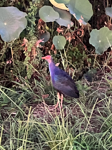


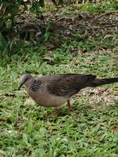
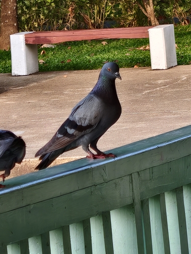
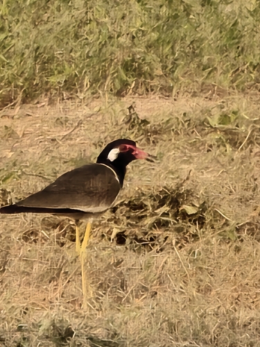
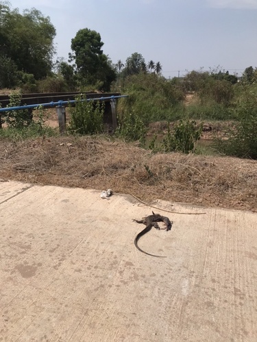
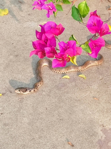
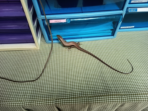
Research-grade observations from iNaturalist (within ~15 mi).
Events
Gallery
Sources
- • Wikipedia
- • Wikidata
- • Open-Meteo Air Quality (CAMS)
- • USGS Earthquake Catalog (global feed)
- • GBIF (Global Biodiversity Information Facility)
- • iNaturalist
- • Open-Meteo / sunrise-sunset.org
- • Wikipedia Pageviews API