Browse / Thailand / Phetchabun / Tha Phon
Tha Phon
Phetchabuntown
Air quality index
Demographic figures from National Statistical Office of Thailand. Overview below cites Wikipedia and may reference a different year.
City facts
Overview
Tha Phon sits in Phetchabun, Thailand and is identified as a town. Up-to-date population figures for this locality are not available in the open datasets we monitor. Coordinates of 16.569°, 101.151° situate Tha Phon in the tropical zone of the northern hemisphere. The latitude suggests warm temperatures throughout the year with pronounced wet and dry seasons. Open solar datasets indicate about 1,789 kWh/m² of solar irradiance per year, combined with sunshine for roughly 70% of daylight hours. Additional figures on demographics, climate, geography and points of interest appear in the sections that follow, all drawn from open public datasets.
Summary composed automatically from structured open data on this page. See our Terms for details.
History & geography
Geography
Coordinates & boundaries from the US Census TIGER/Line shapefiles.
Climate
Air quality
Current readings from Open-Meteo Air Quality API (Copernicus CAMS European reanalysis).
Walkability
Amenities nearby
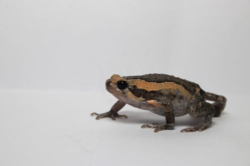
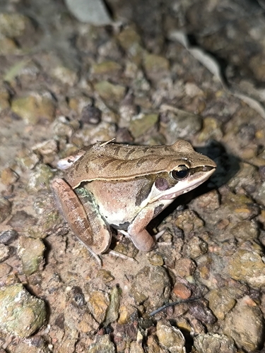
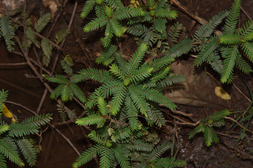
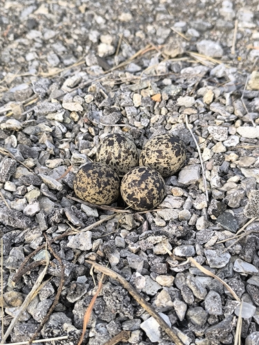
Wildlife & biodiversity
Most-observed species
- Common MynaAcridotheres tristis (Linnaeus, 1766) · Aves51
- Ashy WoodswallowArtamus fuscus Vieillot, 1817 · Aves51
- Rock PigeonColumba livia J.F.Gmelin, 1789 · Aves44
- Sooty-headed BulbulPycnonotus aurigaster (Vieillot, 1818) · Aves43
- Asian KoelEudynamys scolopaceus (Linnaeus, 1758) · Aves41
- Malaysian Pied-FantailRhipidura javanica (Sparrman, 1788) · Aves41
- Black DrongoDicrurus macrocercus Vieillot, 1817 · Aves36
- Oriental Magpie-RobinCopsychus saularis (Linnaeus, 1758) · Aves34
Citizen-science & research observations from the Global Biodiversity Information Facility (GBIF).
Earthquake history
Events from the USGS Earthquake Catalog (global) (FDSN Event Web Service).
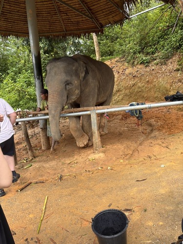
Photos
Sights & places nearby
Notable people from here
Nearby places in Phetchabun
Geography & sun
Elevation, sunrise/sunset and daylight from Open-Meteo. Solar climatology from NASA POWER.
Nearby airports
Public attention
Books about this place
Recent natural events nearby
Ground air-quality sensors
Recently spotted species

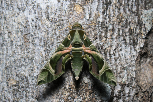
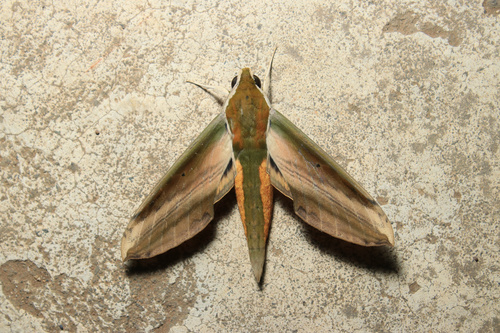
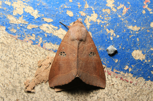
Research-grade observations from iNaturalist (within ~15 mi).
Events
Gallery
Geotagged photos within ~6 miles of Tha Phon, from Wikimedia Commons contributors.
 2.4 mi
 2.4 mi
 3.8 mi
.jpg) 3.8 mi
3.8 mi.jpg) 3.8 mi
3.8 mi.jpg) 3.9 mi
3.9 mi 3.9 mi
 3.9 mi
 3.9 mi
 3.9 mi
 3.9 mi
 4 mi
4 mi 4 mi
4 mi 4 mi
4 mi 5.8 mi
 5.8 mi
 5.8 mi
 5.8 mi
 5.8 mi
 5.8 mi
 5.9 mi
 5.9 mi
Photos via Wikimedia Commons — see each image page for license & attribution.
Sources
- • Wikimedia Commons
- • Wikidata
- • Open-Meteo Air Quality (CAMS)
- • USGS Earthquake Catalog (global feed)
- • GBIF (Global Biodiversity Information Facility)
- • iNaturalist
- • Open-Meteo / sunrise-sunset.org