Browse / Thailand / Uttaradit / Tha Pla
Tha Pla
Uttaradittown
Air quality index
Demographic figures from National Statistical Office of Thailand. Overview below cites Wikipedia and may reference a different year.
City facts
Overview
Situated in Uttaradit, Thailand, Tha Pla is a town. The settlement sits at 17.793°, 100.375°, a tropical location in the northern hemisphere. No reliable population estimate is published for this entry in the open data we rely on. Solar-resource estimates put the area at about 1,821 kWh/m² of solar irradiance per year with sunshine for roughly 71% of daylight hours. Based on its tropical position, residents likely encounter warm temperatures throughout the year with pronounced wet and dry seasons. The sections below expand on demographics, weather, terrain, hazards and nearby points of interest using publicly available datasets.
Summary composed automatically from structured open data on this page. See our Terms for details.
History & geography
Geography
Coordinates & boundaries from the US Census TIGER/Line shapefiles.
Climate
Air quality
Current readings from Open-Meteo Air Quality API (Copernicus CAMS European reanalysis).
Walkability
Amenities nearby
Wildlife & biodiversity
Most-observed species
- Ashy WoodswallowArtamus fuscus Vieillot, 1817 · Aves15
- Black DrongoDicrurus macrocercus Vieillot, 1817 · Aves11
- Large-billed CrowCorvus macrorhynchos Wagler, 1827 · Aves10
- Common MynaAcridotheres tristis (Linnaeus, 1766) · Aves10
- Rock PigeonColumba livia J.F.Gmelin, 1789 · Aves10
- Greater CoucalCentropus sinensis (Stephens, 1815) · Aves10
- Barn SwallowHirundo rustica Linnaeus, 1758 · Aves9
- Sooty-headed BulbulPycnonotus aurigaster (Vieillot, 1818) · Aves8
Citizen-science & research observations from the Global Biodiversity Information Facility (GBIF).
Earthquake history
Most recent
- M 3.8 — 2004-03-2732 km S of Nan, Thailand
Events from the USGS Earthquake Catalog (global) (FDSN Event Web Service).
Photos
Sights & places nearby
Notable people from here
Nearby places in Uttaradit
- Ban Kaeng28.7 mi away
- Červený Potok5000.7 mi away · pop. 105
- Horní Lipka5001.9 mi away · pop. 120
- Prostřední Lipka5002.8 mi away · pop. 159
- Hartinkov5003.6 mi away · pop. 68
- Mlýnický Dvůr5003.9 mi away · pop. 104
- Vysoká5003.9 mi away · pop. 36
- Pěčíkov5004.7 mi away · pop. 82
- Dolní Boříkovice5004.8 mi away · pop. 211
- Březinky5005 mi away · pop. 113
- Vrážné5005.2 mi away · pop. 67
- Gruna5006.1 mi away · pop. 128
Geography & sun
Elevation, sunrise/sunset and daylight from Open-Meteo. Solar climatology from NASA POWER.
Nearby airports
Public attention
Books about Tha Pla
Search results from Open Library.
Recent natural events nearby
Ground air-quality sensors
Recently spotted species
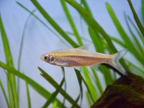
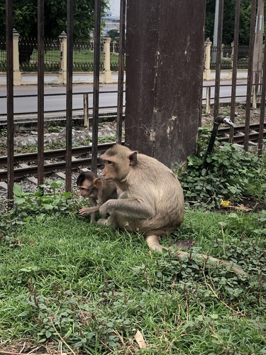
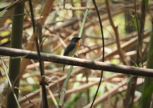
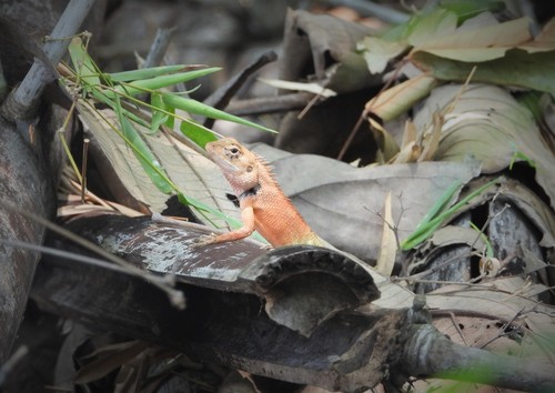
Research-grade observations from iNaturalist (within ~15 mi).
Events
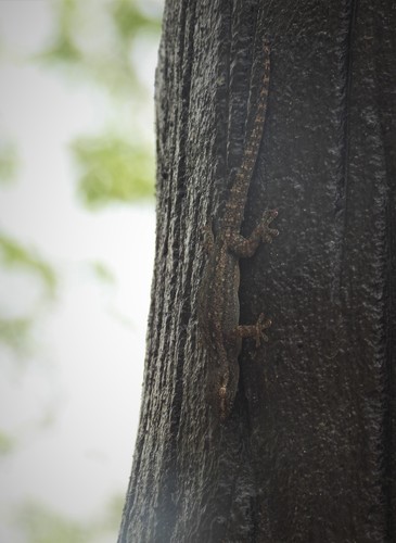
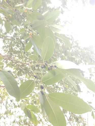
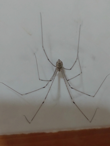
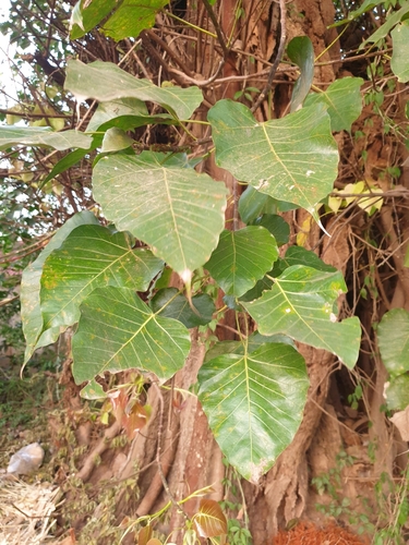
Gallery
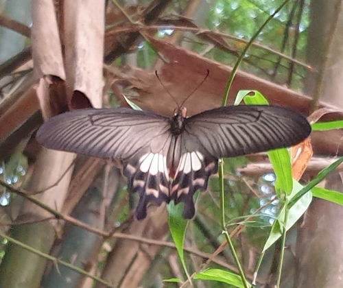
Geotagged photos within ~6 miles of Tha Pla, from Wikimedia Commons contributors.
 1.7 mi
 1.7 mi
 1.7 mi
 1.7 mi
 1.7 mi
 1.7 mi
 3.8 mi
 3.8 mi
 3.8 mi
 3.8 mi
 3.8 mi
 3.8 mi
 3.8 mi
 3.8 mi
 3.8 mi
 3.8 mi
 3.8 mi
 3.8 mi
 3.8 mi
 3.8 mi
 3.8 mi
 3.8 mi
 3.8 mi
 3.8 mi
Photos via Wikimedia Commons — see each image page for license & attribution.
Sources
- • Wikimedia Commons
- • Wikidata
- • Open-Meteo Air Quality (CAMS)
- • USGS Earthquake Catalog (global feed)
- • GBIF (Global Biodiversity Information Facility)
- • iNaturalist
- • Open-Meteo / sunrise-sunset.org
- • Open Library