Browse / Thailand / Chumphon / Tha Sae
Tha Sae
Chumphontown
Air quality index
Demographic figures from National Statistical Office of Thailand. Overview below cites Wikipedia and may reference a different year.
City facts
Overview
Tha Sae, a town in Chumphon, Thailand, forms part of the country's settled landscape. Tha Sae maps to 10.665°, 99.174° — squarely within the tropical belt. Detailed population figures are not currently catalogued in the open data sources we track. Open solar datasets indicate about 1,799 kWh/m² of solar irradiance per year, combined with sunshine for roughly 70% of daylight hours. The latitude suggests warm temperatures throughout the year with pronounced wet and dry seasons. Continue scrolling for population, climate, environmental and points-of-interest data drawn from public sources.
Summary composed automatically from structured open data on this page. See our Terms for details.
History & geography
Geography
Coordinates & boundaries from the US Census TIGER/Line shapefiles.
Climate
Air quality
Current readings from Open-Meteo Air Quality API (Copernicus CAMS European reanalysis).
Walkability
Amenities nearby
Wildlife & biodiversity
Most-observed species
- Blue-tailed Bee-eaterMerops philippinus Linnaeus, 1767 · Aves729
- Barn SwallowHirundo rustica Linnaeus, 1758 · Aves642
- Lineated BarbetPsilopogon lineatus (Vieillot, 1816) · Aves587
- White-nest SwiftletAerodramus fuciphagus (Thunberg, 1812) · Aves575
- Oriental Honey-buzzardPernis ptilorhynchus (Temminck, 1821) · Aves572
- Gray-faced BuzzardButastur indicus (Gmelin, 1788) · Aves541
- Common MynaAcridotheres tristis (Linnaeus, 1766) · Aves475
- Black BazaAviceda leuphotes (Dumont, 1820) · Aves454
Citizen-science & research observations from the Global Biodiversity Information Facility (GBIF).
Earthquake history
Events from the USGS Earthquake Catalog (global) (FDSN Event Web Service).
Photos
Sights & places nearby
Notable people from here
Nearby places in Chumphon
Geography & sun
Elevation, sunrise/sunset and daylight from Open-Meteo. Solar climatology from NASA POWER.
Nearby airports
Public attention
Books about this place
Recent natural events nearby
Ground air-quality sensors
Recently spotted species
Research-grade observations from iNaturalist (within ~15 mi).
Events
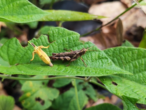
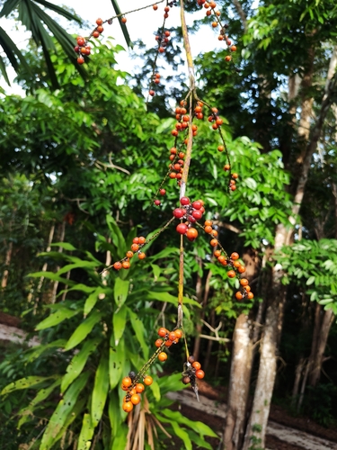
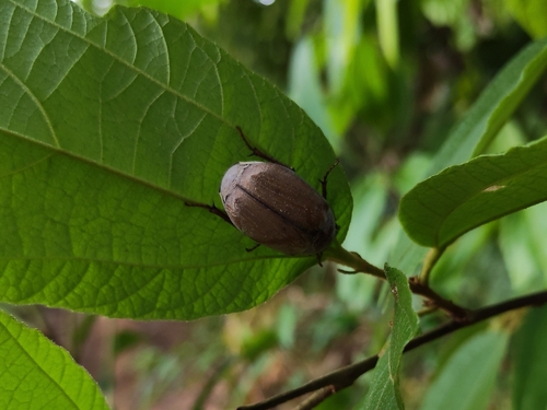
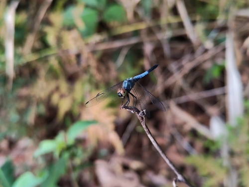
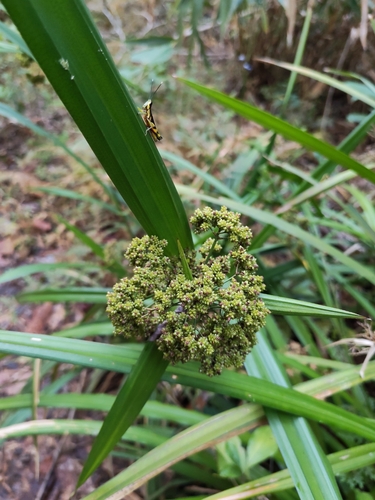
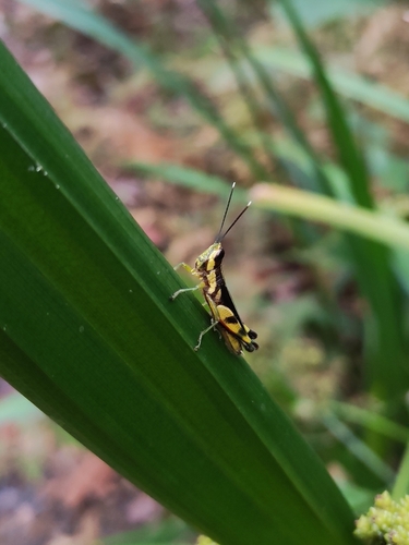
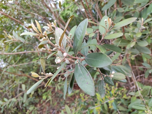
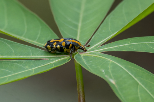
Gallery
Geotagged photos within ~6 miles of Tha Sae, from Wikimedia Commons contributors.


Photos via Wikimedia Commons — see each image page for license & attribution.
Sources
- • Wikimedia Commons
- • Wikidata
- • Open-Meteo Air Quality (CAMS)
- • USGS Earthquake Catalog (global feed)
- • GBIF (Global Biodiversity Information Facility)
- • iNaturalist
- • Open-Meteo / sunrise-sunset.org