Browse / Thailand / Udon Thani / Thung Fon
Thung Fon
Udon Thanitown
Air quality index
Demographic figures from National Statistical Office of Thailand. Overview below cites Wikipedia and may reference a different year.
City facts
Overview
Thung Fon is a town located in Udon Thani, Thailand. No reliable population estimate is published for this entry in the open data we rely on. The settlement sits at 17.473°, 103.266°, a tropical location in the northern hemisphere. Climatically, locations at this latitude tend to experience warm temperatures throughout the year with pronounced wet and dry seasons. Open solar datasets indicate about 1,837 kWh/m² of solar irradiance per year, combined with sunshine for roughly 72% of daylight hours. Detailed open-data panels follow, covering demographics, climate, geography, wildlife and nearby settlements.
Summary composed automatically from structured open data on this page. See our Terms for details.
History & geography
Geography
Coordinates & boundaries from the US Census TIGER/Line shapefiles.
Climate
Air quality
Current readings from Open-Meteo Air Quality API (Copernicus CAMS European reanalysis).
Walkability
Amenities nearby
Wildlife & biodiversity
Most-observed species
- Little Egret/Western Reef-HeronEgretta garzetta (Linnaeus, 1766) · Aves19
- Chinese Pond-HeronArdeola bacchus (Bonaparte, 1855) · Aves19
- Green Bee-eaterMerops orientalis Latham, 1801 · Aves18
- Ayeyarwady BulbulPycnonotus blanfordi Jerdon, 1862 · Aves18
- Zebra DoveGeopelia striata (Linnaeus, 1766) · Aves18
- Great EgretArdea alba Linnaeus, 1758 · Aves18
- Black DrongoDicrurus macrocercus Vieillot, 1817 · Aves16
- Red Collared-DoveStreptopelia tranquebarica (Hermann, 1804) · Aves16
Citizen-science & research observations from the Global Biodiversity Information Facility (GBIF).
Earthquake history
Events from the USGS Earthquake Catalog (global) (FDSN Event Web Service).
Photos
Sights & places nearby
Notable people from here
Nearby places in Udon Thani
- Sangan-ri1970.2 mi away
- Ansan1981.5 mi away · pop. 677,710
- Osan1985.1 mi away · pop. 193,892
- Bogugot-ri1987.1 mi away
- Suwon1987.7 mi away · pop. 1,203,000
- Gunpo1987.7 mi away · pop. 275,571
- Yonggang-ri1988.1 mi away
- Anseong1988.3 mi away · pop. 181,319
- Uiwang1988.5 mi away · pop. 156,763
- Gageum-ri1989.7 mi away
- Mageunpo-ri1990.7 mi away
- Majo-ri1991.2 mi away
Geography & sun
Elevation, sunrise/sunset and daylight from Open-Meteo. Solar climatology from NASA POWER.
Nearby airports
Public attention
Books about this place
Recent natural events nearby
Ground air-quality sensors
Recently spotted species
Research-grade observations from iNaturalist (within ~15 mi).
Events
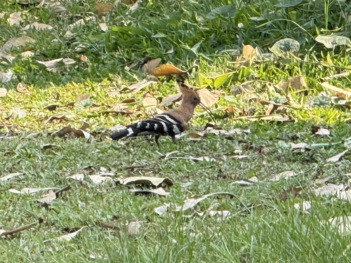
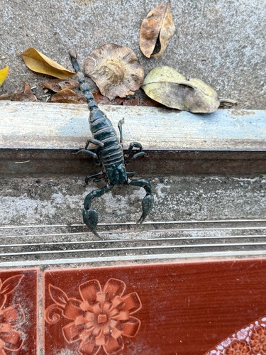
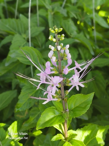
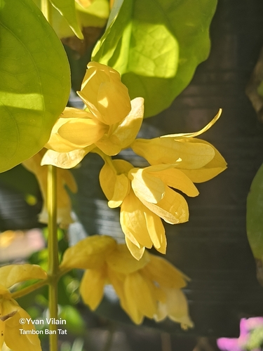
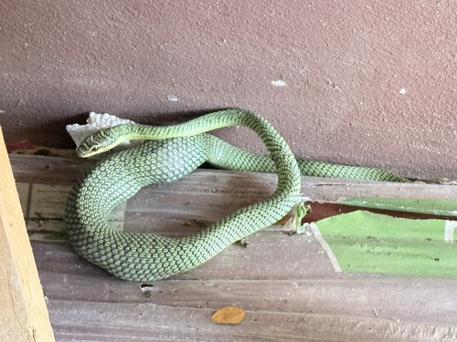
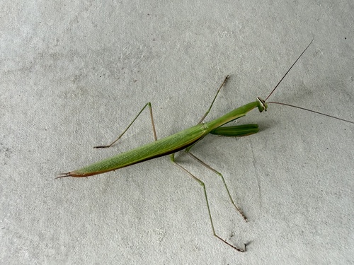
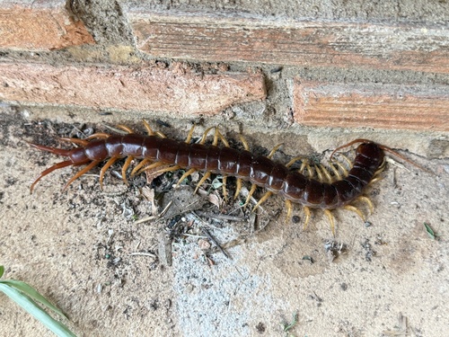
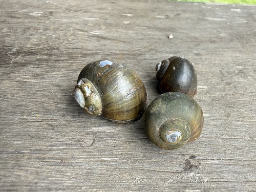
Gallery
Geotagged photos within ~6 miles of Thung Fon, from Wikimedia Commons contributors.


Photos via Wikimedia Commons — see each image page for license & attribution.
Sources
- • Wikimedia Commons
- • Wikidata
- • Open-Meteo Air Quality (CAMS)
- • USGS Earthquake Catalog (global feed)
- • GBIF (Global Biodiversity Information Facility)
- • iNaturalist
- • Open-Elevation
- • Open-Meteo / sunrise-sunset.org