Browse / Thailand / Tak / Wang Chao
Wang Chao
Taktown
Demographic figures from National Statistical Office of Thailand. Overview below cites Wikipedia and may reference a different year.
City facts
Overview
Situated in Tak, Thailand, Wang Chao is a town. Geographically it lies in the northern hemisphere at a tropical latitude (16.675°, 99.268°). Up-to-date population figures for this locality are not available in the open datasets we monitor. Its latitude implies a climate characterised by warm temperatures throughout the year with pronounced wet and dry seasons. Further detail — demographics, climate, nearby amenities and natural-hazard data — is compiled below from public open-data sources.
Summary composed automatically from structured open data on this page. See our Terms for details.
History & geography
Geography
Coordinates & boundaries from the US Census TIGER/Line shapefiles.
Climate
Air quality
Walkability
Amenities nearby
Wildlife & biodiversity
Most-observed species
- Common MynaAcridotheres tristis (Linnaeus, 1766) · Aves47
- Zebra DoveGeopelia striata (Linnaeus, 1766) · Aves47
- Barn SwallowHirundo rustica Linnaeus, 1758 · Aves47
- Large-billed CrowCorvus macrorhynchos Wagler, 1827 · Aves45
- Rock PigeonColumba livia J.F.Gmelin, 1789 · Aves45
- Great MynaAcridotheres grandis Moore, 1858 · Aves42
- Sooty-headed BulbulPycnonotus aurigaster (Vieillot, 1818) · Aves40
- Green Bee-eaterMerops orientalis Latham, 1801 · Aves39
Citizen-science & research observations from the Global Biodiversity Information Facility (GBIF).
Earthquake history
Most recent
- M 4.1 — 2023-06-2824 km NNE of Khanu Woralaksaburi, Thailand
Events from the USGS Earthquake Catalog (global) (FDSN Event Web Service).
Photos
Sights & places nearby
Notable people from here
Nearby places in Tak
- Siverek3889.4 mi away · pop. 250,100
- Haliliye3915 mi away · pop. 392,661
- Şanlıurfa3915.2 mi away · pop. 2,143,020
- Bozova3930.7 mi away · pop. 54,641
- Malé Tresné5032.1 mi away · pop. 75
- Brťoví5032.3 mi away · pop. 85
- Bolešín5032.6 mi away · pop. 85
- Chlébské5033.1 mi away · pop. 90
- Skorotice5033.3 mi away · pop. 48
- Švařec5033.4 mi away · pop. 70
- Dolní Čepí5033.6 mi away · pop. 87
- Chlum-Korouhvice5034.2 mi away · pop. 43
Geography & sun
Nearby airports
Public attention
Books about this place
Recent natural events nearby
Ground air-quality sensors
Recently spotted species

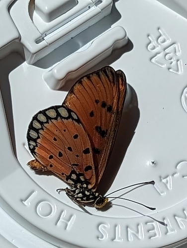
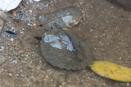
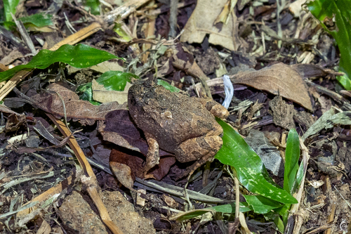
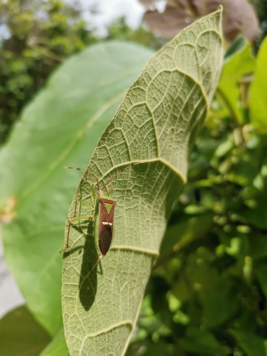
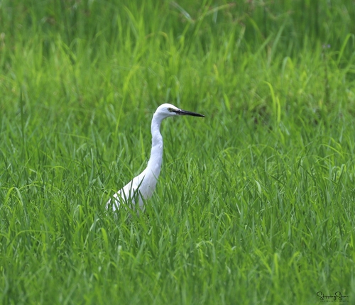
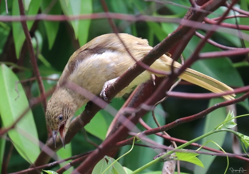
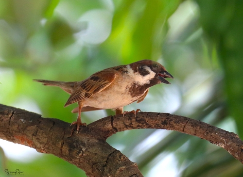
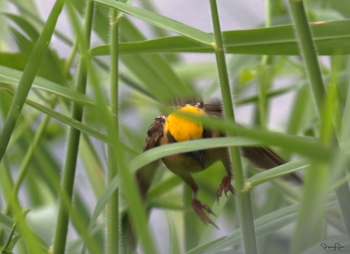
Research-grade observations from iNaturalist (within ~15 mi).
Events
Gallery
Geotagged photos within ~6 miles of Wang Chao, from Wikimedia Commons contributors.


Photos via Wikimedia Commons — see each image page for license & attribution.
Sources
- • Wikimedia Commons
- • Wikidata
- • USGS Earthquake Catalog (global feed)
- • GBIF (Global Biodiversity Information Facility)
- • iNaturalist