Browse / Thailand / Kanchanaburi / Wang Pho
Wang Pho
Kanchanaburitown

Featured view
Wang Pho
Total population
62,652
Coordinates14.12°, 99.14°
Demographic figures from National Statistical Office of Thailand. Overview below cites Wikipedia and may reference a different year.
Loading additional data from public sources…0 / 11
CensusWikipediaWeatherPlacesPeopleEnvironmentHealth & SchoolsRelatedGeography & CultureLive MonitoringEvents & Gallery
0% completeCity facts
Overview
Sai Yok is a district (amphoe) in Kanchanaburi province in western Thailand and is located northwest of Bangkok.
Read more on WikipediaHistory & geography
Geography
Latitude
14.1193
Longitude
99.1391
Water area
—
Coordinates & boundaries from the US Census TIGER/Line shapefiles.
Climate
Air quality
Walkability
Amenities nearby
Wildlife & biodiversity
Earthquake history
Photos
Sights & places nearby
Notable people from here
Nearby places in Kanchanaburi
- Poruba5089 mi away · pop. 197
- Hranické Loučky5091.5 mi away · pop. 73
- Polom5091.6 mi away · pop. 289
- Kunčice5093.3 mi away · pop. 242
- Skalička5093.8 mi away · pop. 535
- Hluzov5094.5 mi away · pop. 235
- Ústí5095 mi away · pop. 560
- Provodovice5095.2 mi away · pop. 125
- Malhotice5095.2 mi away · pop. 334
- Jindřichov5095.4 mi away · pop. 469
- Všechovice5095.5 mi away · pop. 885
- Opatovice5096.3 mi away · pop. 755
Geography & sun
Avg solar (kWh/m²/day)
5.06
Annual solar (kWh/m²)
1,848
Elevation, sunrise/sunset and daylight from Open-Meteo. Solar climatology from NASA POWER.
Nearby airports
Public attention
Wikipedia views (last 30 days)
53
Avg daily Wikipedia views
2
Attention level
Obscure
Pageview totals from the Wikimedia Pageviews API.
Books about Wang Pho
Search results from Open Library.
Recent natural events nearby
Ground air-quality sensors
Recently spotted species
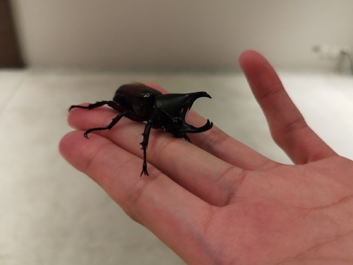
Siamese Rhinoceros Beetle
Xylotrupes socrates
Seen 2026-09-23
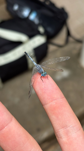
Chalky Percher
Diplacodes trivialis
Seen 2026-09-20
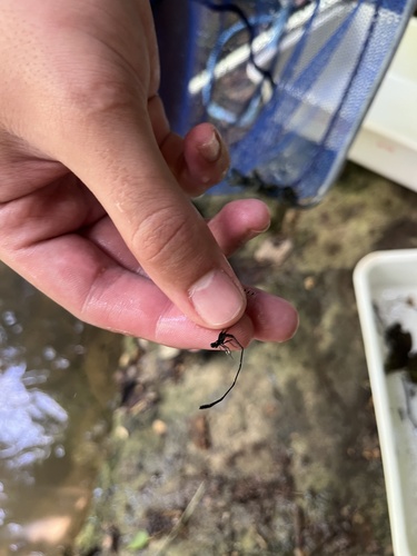
Black Threadtail
Prodasineura autumnalis
Seen 2026-09-18
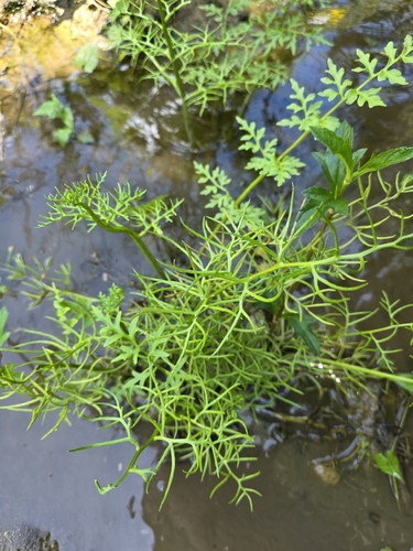
Water Fern
Ceratopteris thalictroides
Seen 2026-09-18
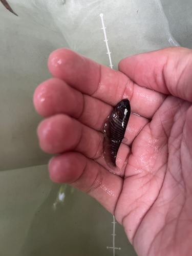
Bronze Featherback
Notopterus notopterus
Seen 2026-09-18
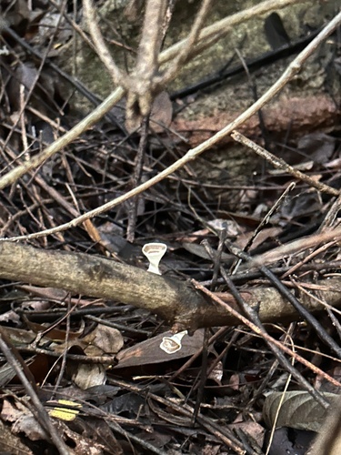
yellow stemmed micropore
Microporus xanthopus
Seen 2026-09-17
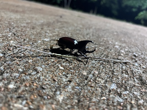
Xylotrupes socrates siamensis
Xylotrupes socrates siamensis
Seen 2026-09-12
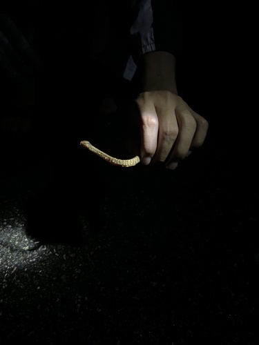
Pareas berdmorei
Pareas berdmorei
Seen 2026-09-11
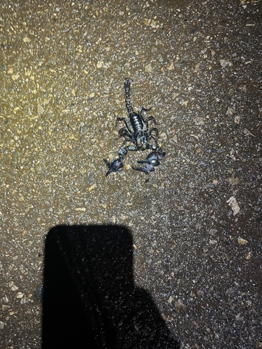
Laotian Giant Scorpion
Heterometrus laoticus
Seen 2026-09-11
Research-grade observations from iNaturalist (within ~15 mi).
Events
Gallery
Sources
- • Wikipedia
- • Wikidata
- • iNaturalist
- • Open-Meteo / sunrise-sunset.org
- • Wikipedia Pageviews API
- • Open Library