Browse / Thailand / Chiang Rai / Wiang Pa Pao
Wiang Pa Pao
Chiang Raitown
Air quality index
Demographic figures from National Statistical Office of Thailand. Overview below cites Wikipedia and may reference a different year.
City facts
Overview
Within Chiang Rai, Thailand, Wiang Pa Pao stands as a town. The settlement sits at 19.359°, 99.507°, a tropical location in the northern hemisphere. No reliable population estimate is published for this entry in the open data we rely on. Open solar datasets indicate about 1,787 kWh/m² of solar irradiance per year, combined with sunshine for roughly 70% of daylight hours. The latitude suggests warm temperatures throughout the year with pronounced wet and dry seasons. The sections below expand on demographics, weather, terrain, hazards and nearby points of interest using publicly available datasets.
Summary composed automatically from structured open data on this page. See our Terms for details.
History & geography
Geography
Coordinates & boundaries from the US Census TIGER/Line shapefiles.
Climate
Air quality
Current readings from Open-Meteo Air Quality API (Copernicus CAMS European reanalysis).
Walkability
Amenities nearby
Wildlife & biodiversity
Most-observed species
- Great MynaAcridotheres grandis Moore, 1858 · Aves61
- Spotted doveSpilopelia chinensis (Scopoli, 1786) · Aves47
- Common MynaAcridotheres tristis (Linnaeus, 1766) · Aves45
- Eurasian Tree SparrowPasser montanus (Linnaeus, 1758) · Aves44
- Sooty-headed BulbulPycnonotus aurigaster (Vieillot, 1818) · Aves42
- Ashy WoodswallowArtamus fuscus Vieillot, 1817 · Aves39
- House SparrowPasser domesticus (Linnaeus, 1758) · Aves37
- Scaly-breasted MuniaLonchura punctulata (Linnaeus, 1758) · Aves35
Citizen-science & research observations from the Global Biodiversity Information Facility (GBIF).
Earthquake history
Most recent
- M 4.2 — 2025-06-0243 km NNE of Chiang Mai, Thailand
- M 4.2 — 2022-10-198 km N of San Kamphaeng, Thailand
- M 3.8 — 2019-10-1821 km NE of San Kamphaeng, Thailand
- M 4.6 — 2019-02-2026 km SW of Mae Chai, Thailand
- M 4.5 — 2014-08-2444 km SSE of Fang, Thailand
- M 4.3 — 2014-05-1229 km SSW of Chiang Rai, Thailand
Events from the USGS Earthquake Catalog (global) (FDSN Event Web Service).
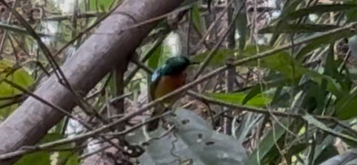
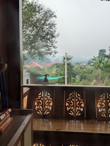
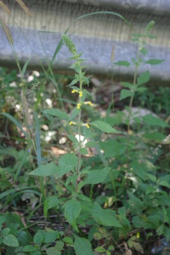
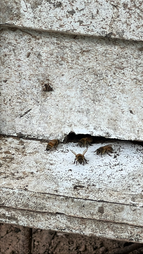
Photos
Sights & places nearby
Notable people from here
Nearby places in Chiang Rai
- Chiang Saen73.5 mi away
- Chiang Khong85.5 mi away
- Gerze4026.3 mi away · pop. 18,453
- Sinop4029.3 mi away · pop. 56,479
- Durağan4033 mi away · pop. 7,566
- Erfelek4041.5 mi away · pop. 4,011
- Saraydüzü4043.6 mi away · pop. 1,884
- Boyabat4048 mi away · pop. 28,693
- Ayancık4058 mi away · pop. 13,382
- Türkeli4070.8 mi away · pop. 6,514
- Pedaso5100.9 mi away · pop. 1,968
- San Benedetto del Tronto5101 mi away · pop. 45,873
Geography & sun
Elevation, sunrise/sunset and daylight from Open-Meteo. Solar climatology from NASA POWER.
Nearby airports
Public attention
Books about this place
Recent natural events nearby
Ground air-quality sensors
Recently spotted species
Research-grade observations from iNaturalist (within ~15 mi).
Events
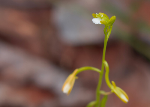
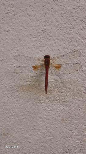
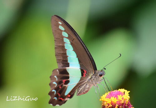
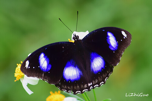
Gallery
Geotagged photos within ~6 miles of Wiang Pa Pao, from Wikimedia Commons contributors.
.jpg) 0.3 mi
0.3 mi.jpg) 0.4 mi
0.4 mi.jpg) 0.4 mi
0.4 mi 0.5 mi
 0.6 mi
.jpg) 0.6 mi
0.6 mi.jpg) 0.7 mi
0.7 mi.jpg) 0.8 mi
0.8 mi.jpg) 0.8 mi
0.8 mi.jpg) 0.8 mi
0.8 mi.jpg) 0.9 mi
0.9 mi.jpg) 0.9 mi
0.9 mi.jpg) 0.9 mi
0.9 mi.jpg) 0.9 mi
0.9 mi.jpg) 1 mi
1 mi.jpg) 1 mi
1 mi.jpg) 1.7 mi
1.7 mi.jpg) 2 mi
2 mi.jpg) 3 mi
3 mi.jpg) 3 mi
3 mi 3.9 mi
 4.1 mi
 4.1 mi
 5.5 mi
Photos via Wikimedia Commons — see each image page for license & attribution.
Sources
- • Wikimedia Commons
- • Wikidata
- • Open-Meteo Air Quality (CAMS)
- • USGS Earthquake Catalog (global feed)
- • GBIF (Global Biodiversity Information Facility)
- • iNaturalist
- • Open-Meteo / sunrise-sunset.org