Browse / Thailand / Yala / Yala
Yala
Yalacity
Total population
60,617
Demographic figures from National Statistical Office of Thailand. Overview below cites Wikipedia and may reference a different year.
City facts
Facts from Wikidata (CC0).
Overview
Yala is a city and seat of Mueang Yala District and Yala Province of far southern Thailand. The provincial and district capital, it is 137 kilometres by road southeast of Hat Yai. The eastern part of the city is part of the neighboring tambon of Sateng Nok. As of 2019 the tambon had a total population of 60,617. It lies on the border with Pattani Province in the north of Yala Province. It lies on Thailand Route 4106, south of Khao Tum and north of Krong Pinang. Yala railway station is on the State Railway of Thailand Southern Line. Yala is approximately 1,100 km south of Bangkok.
Read more on WikipediaHistory & geography
History
Yala used to be part of the Pattani kingdom. When Ayutthaya was captured by the Burmese in 1767, Yala, along with other southern colonies, became independent. Yala was again included as part of Thailand about 41 years later. In September 1977, King Bhumibol Adulyadej and Queen Sirikit of Thailand narrowly avoided assassination by the BRN after a bomb exploded nearby during a visit. On 9 October, policemen from the 12th Provincial Police Headquarters and the Yala Provincial Police Headquarters arrested Abdun Romae Haron, Mae Prachu, and Choning Saing on charges of conspiring with the escaped convicts Hayi Masae, Choya Samae, and Abdun Romae in attempting to kill the monarchs.
Excerpted from the corresponding Wikipedia article (CC BY-SA).
Geography
Coordinates & boundaries from the US Census TIGER/Line shapefiles.
Climate
Air quality
Walkability
Amenities nearby
Wildlife & biodiversity
Earthquake history
Photos
Sights & places nearby
Notable people from here
Nearby places in Yala
Geography & sun
Elevation, sunrise/sunset and daylight from Open-Meteo. Solar climatology from NASA POWER.
Nearby airports
Public attention
Pageview totals from the Wikimedia Pageviews API.
Books about Yala

Search results from Open Library.
Recent natural events nearby
Ground air-quality sensors
Recently spotted species
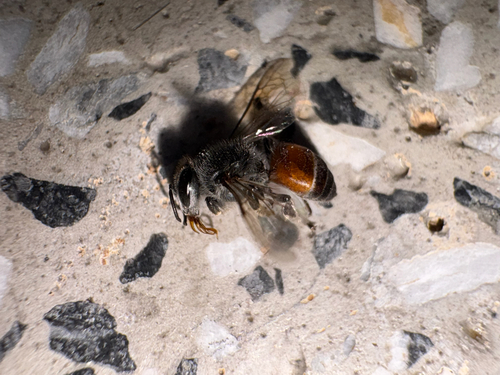
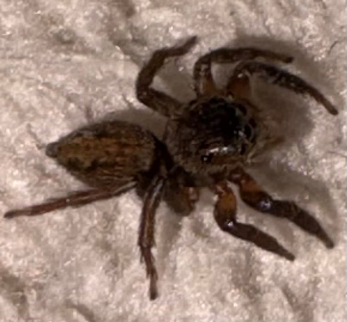
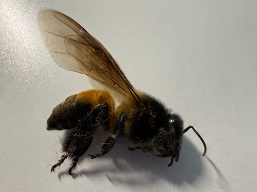
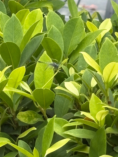
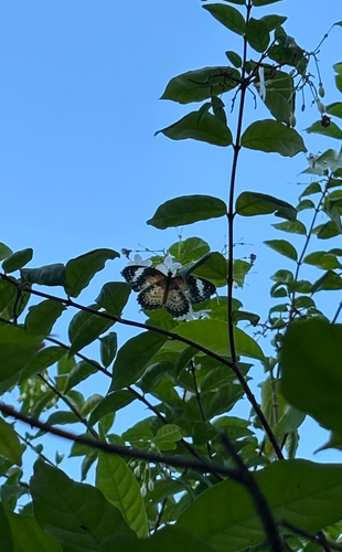
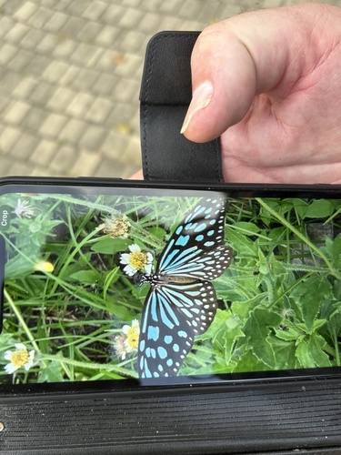
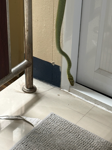
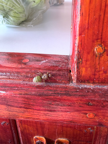
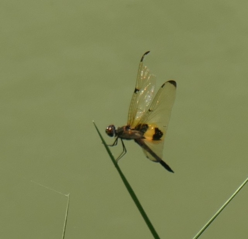
Research-grade observations from iNaturalist (within ~15 mi).
Events
Gallery
Sources
- • Wikipedia
- • Wikidata
- • iNaturalist
- • Open-Meteo / sunrise-sunset.org
- • Wikipedia Pageviews API
- • Open Library