Browse / United States / Tennessee / Ashland City
Ashland City
Tennesseetown

Ashland City
Total population
5,424
Median home value
$294,100
Bachelor's+
Median income
$79,231
Founded
1856
Demographic figures from US Census Bureau · ACS 5-year estimates. Overview below cites Wikipedia and may reference a different year.
City facts
Facts from Wikidata (CC0).
Overview
Ashland City is a town and the county seat of Cheatham County, Tennessee. Located in Middle Tennessee, it is part of the Nashville-Davidson–Murfreesboro–Franklin, TN Metropolitan Statistical Area. As of the 2024 U.S. Census Bureau estimate, the population was 5,689, an increase from 5,193 in the 2020 census.
Read more on WikipediaHistory & geography
History
Ashland City was created in 1856 as a county seat for the newly established Cheatham County. The county's commissioners purchased the initial of land (now the courthouse square) from James Lenox, and a temporary courthouse was erected shortly thereafter. The temporary structure was replaced by the present courthouse in 1869. Ashland City was officially incorporated in 1859. The first major industry in the Ashland City area was a forge operated by Montgomery Bell at the Narrows of the Harpeth, several miles to the southwest, which was established in 1818. In 1835, Samuel Watson established a gristmill and powder mill along Sycamore Creek, just north of Ashland City. Watson's mill developed into one of the largest powder mills in the South, making it a target during the Civil War. The mill continued in operation under various owners until 1904.
Geography
Ashland City is located near the center of Cheatham County in a bottomland along the northeast bank of the Cumberland River, a few miles upstream from the river's confluence with the Harpeth River. The Cheatham State Wildlife Management Area covers most of the hilly area on the opposite side of the Cumberland. Ashland City is centered on the junction of Tennessee State Route 12, which connects the town with Nashville to the southeast and Clarksville to the northwest, and Tennessee State Route 49, which connects the city to Springfield and Kentucky to the northeast and Charlotte to the west. According to the United States Census Bureau in 2010, the town has a total area of , including of land and , or 6.95%, water. Sydney's Bluff, located on the opposite bank of the Cumberland River, is visible from most parts of the city, especially from the residential districts which are built on hills rising to the north of the river flood plain. This jagged cliff system, which was carved by the Cumberland River, is popular with local rock climbers and hikers. The bluff was supposedly named after a girl who fell from the bluff while trying to escape hostile Native Americans in the early 19th century. Cheatham Lake is a large recreational area that extends up the Cumberland River past Ashland City and is operated by the US Army Corps of Engineers. The lake area, formed by Cheatham Lock and Dam to the northwest of the town, offers many outdoor experiences such as camping, fishing, wildlife viewing, water sports, swimming, and multiple children's play areas. Cheatham Lake is a popular rustic weekend getaway for many surrounding areas.
Excerpted from the corresponding Wikipedia article (CC BY-SA).
Demographics & economy
Race & ethnicity
Source: US Census Bureau — American Community Survey, 5-year estimates.
Geography
Coordinates & boundaries from the US Census TIGER/Line shapefiles.
Climate
Air quality
Industrial & pollution facilities
Natural hazard risk
Health (adults)
Walkability
Amenities nearby
Wildlife & biodiversity
Schools
Earthquake history
Photos
Sights & places nearby
Notable people from here

People born within ~10 km, from Wikidata (CC0). Click any name for their Wikipedia article.
Nearby places in Tennessee
- Pleasant View9.2 mi away · pop. 5,276
- Pegram10.6 mi away · pop. 2,089
- Coopertown11.5 mi away · pop. 4,640
- Belle Meade14.6 mi away · pop. 2,708
- Greenbrier17.7 mi away · pop. 6,971
- Goodlettsville19 mi away
- Cedar Hill20.5 mi away · pop. 395
- Burns21.1 mi away · pop. 1,884
- Slayden24.2 mi away
- Shackle Island24.6 mi away
- White House24.9 mi away
- Bon Aqua Junction27.5 mi away
Geography & sun
Elevation, sunrise/sunset and daylight from Open-Meteo. Solar climatology from NASA POWER.
Nearby airports
Public attention
Pageview totals from the Wikimedia Pageviews API.
Books about Ashland City


Search results from Open Library.
Recent natural events nearby
Ground air-quality sensors
Recently spotted species
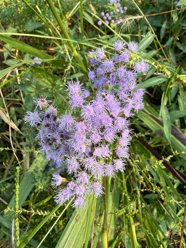
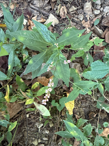
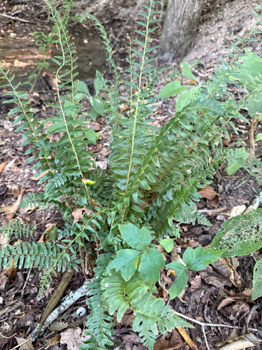
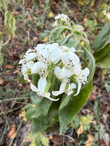
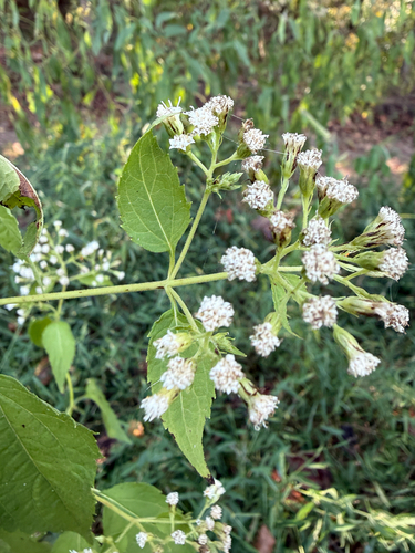
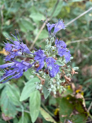
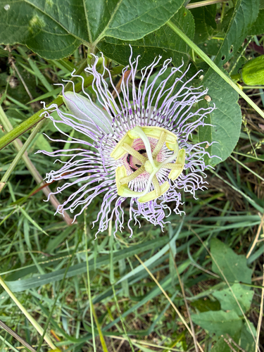
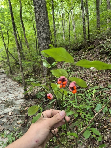
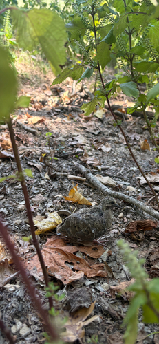
Research-grade observations from iNaturalist (within ~15 mi).
Nearest stream gauge
Events
Gallery
Sources
- • Wikipedia
- • US Census Bureau (ACS 5-year estimates)
- • Wikidata
- • iNaturalist
- • Open-Meteo / sunrise-sunset.org
- • Wikipedia Pageviews API
- • Open Library