Browse / Tunisia / Béja / Chaouach
Chaouach
Béjavillage

Chaouach
Air quality index
Demographic figures from INS Tunisia. Overview below cites Wikipedia and may reference a different year.
City facts
Overview
Chaouach is a village in Béja Governorate, Tunisia. It is located between Béja and Tunis and north of Medjez-El-Bab. The area sits in a valley high up the sides of the watershed of the Medjerda river. In antiquity, it was a Roman Catholic diocese.
Read more on WikipediaHistory & geography
History
Chaouach is known for its extensive haouanet ( حانوت ). These tombs are presumably of Numidian origin, used until the time of the Roman presence in North Africa. There was from 330 BC to AD 640 a Roman settlement at Chaouach was called Suas. Suas was a civitas of the Roman province of Africa Proconsolare, though larger than its near neighbor Toukabeur. During the Tunisian Campaign of World War II, the town was an important strategic site being on the heights overlooking the Medjerda River valley with several large towns to the south. The town was taken in April 1943, by the British Army's, Lancashire Fusiliers and the Queen's Own East Surrey Regiment. General Sir Kenneth Anderson wrote of Chaouch at this time, This mountain land is a vast tract of country, every hill in which is large enough to swallow up a brigade of infantry, where consolidation on the rocky slopes is very difficult, in which tanks can only operate in small numbers, where movement of guns and vehicles is very restricted and where the division had to rely on pack mules for its supplies and to carry wireless telegraphy sets, tools and mortars.
Excerpted from the corresponding Wikipedia article (CC BY-SA).
Geography
Coordinates & boundaries from the US Census TIGER/Line shapefiles.
Climate
Air quality
Current readings from Open-Meteo Air Quality API (Copernicus CAMS European reanalysis).
Walkability
Amenities nearby
Wildlife & biodiversity
Most-observed species
- White StorkCiconia ciconia (Linnaeus, 1758) · Aves5
- smooth golden fleeceUrospermum dalechampii (L.) Scop. ex F.W.Schmidt · Magnoliopsida4
- Phlebotomus langeroni Nitzulescu, 1930Phlebotomus langeroni Nitzulescu, 1930 · Insecta3
- Culicoides odiatus Austen, 1921Culicoides odiatus Austen, 1921 · Insecta2
- Culicoides kibunensis Tokunaga, 1937Culicoides kibunensis Tokunaga, 1937 · Insecta2
- Culicoides imicola Kieffer, 1913Culicoides imicola Kieffer, 1913 · Insecta2
- Culicoides dewulfi Goetghebuer, 1936Culicoides dewulfi Goetghebuer, 1936 · Insecta2
- Culicoides chiopterus (Meigen, 1830)Culicoides chiopterus (Meigen, 1830) · Insecta2
Citizen-science & research observations from the Global Biodiversity Information Facility (GBIF).
Earthquake history
Most recent
- M 4.4 — 2026-01-054 km NNE of Tabursuq, Tunisia
- M 4.3 — 2024-11-2814 km WNW of Bou Arada, Tunisia
- M 4.7 — 2018-03-0811 km E of Rhar el Melah, Tunisia
- M 4.2 — 2008-04-1511 km SW of Tabarka, Tunisia
- M 4.5 — 2007-05-137 km SSW of El Battan, Tunisia
- M 3.2 — 2005-12-0920 km NNW of Béja, Tunisia
Events from the USGS Earthquake Catalog (global) (FDSN Event Web Service).
Photos
Sights & places nearby
Notable people from here
People born within ~10 km, from Wikidata (CC0). Click any name for their Wikipedia article.
Nearby places in Béja
Geography & sun
Elevation, sunrise/sunset and daylight from Open-Meteo. Solar climatology from NASA POWER.
Nearby airports
Public attention
Pageview totals from the Wikimedia Pageviews API.
Books about this place
Recent natural events nearby
Ground air-quality sensors
Recently spotted species
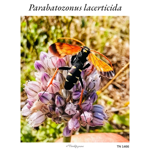
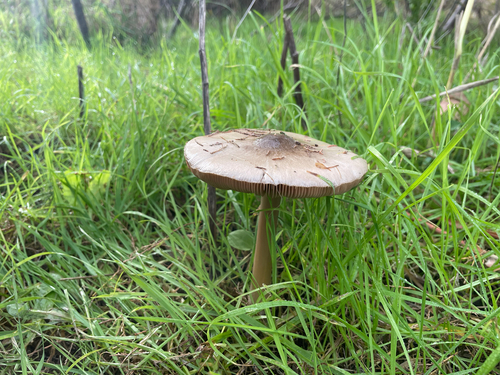
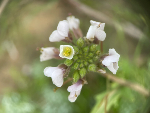
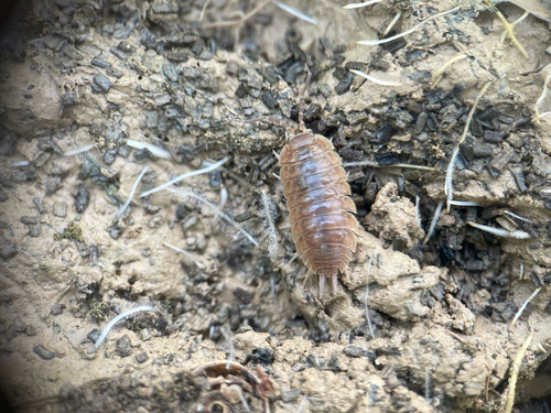
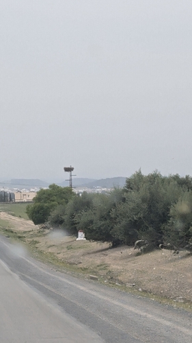
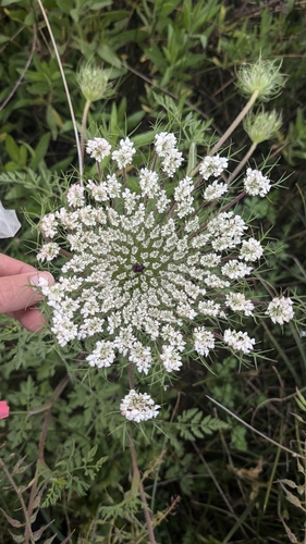
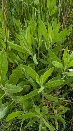
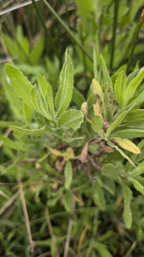
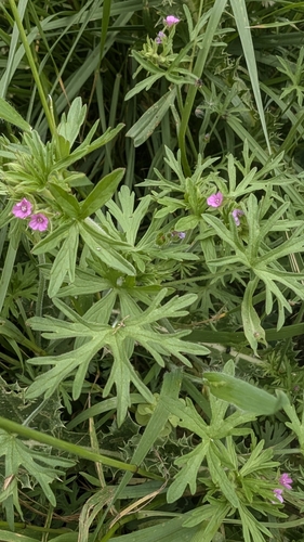
Research-grade observations from iNaturalist (within ~15 mi).
Events
Gallery
Sources
- • Wikipedia
- • Wikidata
- • Open-Meteo Air Quality (CAMS)
- • USGS Earthquake Catalog (global feed)
- • GBIF (Global Biodiversity Information Facility)
- • iNaturalist
- • Open-Meteo / sunrise-sunset.org
- • Wikipedia Pageviews API