Browse / United States / Tennessee / Clinton
Clinton
Tennesseecity

Clinton
Total population
10,239
Median home value
$225,000
Bachelor's+
Median income
$68,882
Founded
1801
Demographic figures from US Census Bureau · ACS 5-year estimates. Overview below cites Wikipedia and may reference a different year.
City facts
Facts from Wikidata (CC0).
Overview
Clinton is a city in and the county seat of Anderson County, Tennessee. Clinton is included in the Knoxville metropolitan area. Its population was 10,056 at the 2020 census.
Read more on WikipediaHistory & geography
History
Prehistoric Native American habitation was common throughout the Clinch River valley, especially during the Woodland period (1000 B.C. – 1000 A.D.) and the Mississippian period (1000–1550 A.D.). A number of such habitation sites were excavated in the 1930s and 1950s in anticipation of the construction of Norris Dam and Melton Hill Dam, respectively. The Melton Hill excavations uncovered two substantial Woodland period villages along the Clinch at Bull Bluff and Freels Bend, both approximately downstream from Clinton. By the time Euro-American explorers and longhunters arrived in the Clinch valley in the mid-18th century, what is now Anderson County was part of a vast stretch of land claimed by the Cherokee. Although the Treaty of Holston, signed in 1791, was intended as a negotiation with the Cherokee to prohibit Euro-American settlement of the area including what is today Anderson County, the treaty became ineffective as more settlers moved through the Appalachian Mountains from Virginia and North Carolina into Tennessee. The earliest settlers in Anderson County included the Wallace, Gibbs, Freels, Frost and Tunnell families. The flooding of white settlers into the Indian domain was cause for several skirmishes, which eased after the Treaty of Tellico in 1798 (including an origination point for the land to be relinquished from the Cherokee being the Tellico Blockhouse) allowed for greater ease in settling the area. Founded in 1801, the town of Burrville was named in honor of Aaron Burr, first-term Vice President under Thomas Jefferson. Land was selected and partitioned for a courthouse, and Burrville was designated as the county seat for the newly formed Anderson County. The county was partitioned from portions of Grainger County and Knox County in 1801;…
Geography
Clinton is located at (36.104772, −84.128487), along the Clinch River, immediately downstream from a point where the southwestward-flowing river bends sharply to the northeast before wrapping around Lost Ridge and continuing again toward the southwest. This section of the river is technically part of Melton Hill Lake, a reservoir created by the impoundment of the Clinch at Melton Hill Dam some downstream from Clinton. Clinton is located approximately upstream from the mouth of the Clinch at the Tennessee River. Clinton is surrounded by a series of long, narrow ridges that represent the western fringe of the Appalachian Ridge and Valley Province. Northwest of Clinton is Walden Ridge, the eastern escarpment of the Cumberland Plateau. Clinton is concentrated around the junction of Tennessee State Route 61 and U.S. Route 25W. State Route 61 connects the city to Norris and Andersonville to the northeast and the community of Marlow and the town of Oliver Springs to the southwest, following a natural series of pathways through the mountain terrain. U.S. Route 25W connects the city to Knoxville to the southeast and Rocky Top and Caryville to the north. Interstate 75 intersects TN-61 northeast of downtown Clinton. According to the United States Census Bureau, Clinton has a total area of , of which is land and , or 4.91%, is water. The climate in this area is characterized by relatively high temperatures and evenly distributed precipitation throughout the year. According to the Köppen Climate Classification system, Clinton has a Humid subtropical climate, abbreviated "Cfa" on climate maps.
Excerpted from the corresponding Wikipedia article (CC BY-SA).
Demographics & economy
Race & ethnicity
Source: US Census Bureau — American Community Survey, 5-year estimates.
Geography
Coordinates & boundaries from the US Census TIGER/Line shapefiles.
Climate
Current forecast
Forecast for Clinton, TN from NOAA NWS API.
Air quality
Industrial & pollution facilities
Natural hazard risk
Health (adults)
Age-adjusted prevalence estimates from CDC PLACES (latest release).
Walkability
Amenities nearby
Wildlife & biodiversity
Schools
Largest nearby schools
- Oak Ridge High SchoolHigh · Oak Ridge · 1,587 students · 16.9:1 ratio
- Clinton High SchoolHigh · Clinton · 1,126 students · 14.4:1 ratio
- Anderson County High SchoolHigh · Clinton · 1,036 students · 14.6:1 ratio
- Jefferson Middle SchoolMiddle · Oak Ridge · 721 students · 12:1 ratio
- Clinton Middle SchoolMiddle · Clinton · 609 students · 12.7:1 ratio
- Clinton ElementaryElementary · Clinton · 557 students · 15.5:1 ratio
- Claxton ElementaryElementary · Powell · 502 students · 13.9:1 ratio
- Norris Middle SchoolMiddle · Norris · 489 students · 15.3:1 ratio
Public K–12 schools within ~10 mi from Urban Institute Education Data Portal (NCES Common Core of Data, 2022).
Earthquake history
Photos
Sights & places nearby
Notable people from here


People born within ~10 km, from Wikidata (CC0). Click any name for their Wikipedia article.
Nearby places in Tennessee
Geography & sun
Elevation, sunrise/sunset and daylight from Open-Meteo. Solar climatology from NASA POWER.
Nearby airports
Public attention
Pageview totals from the Wikimedia Pageviews API.
Books about Clinton
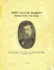
Search results from Open Library.
Recent natural events nearby
Ground air-quality sensors
Recently spotted species
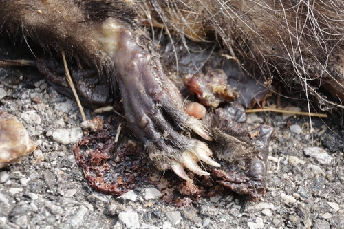
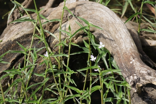
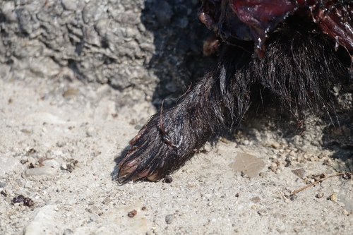
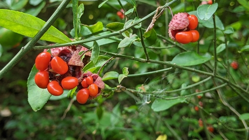
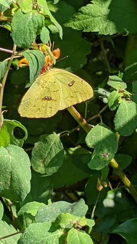

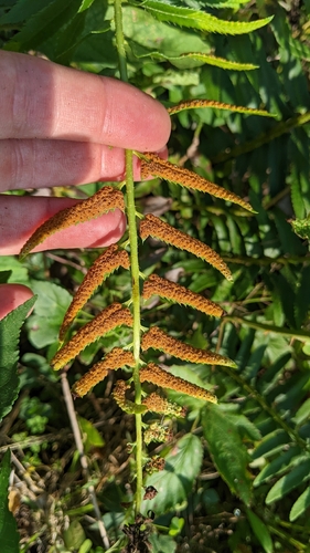
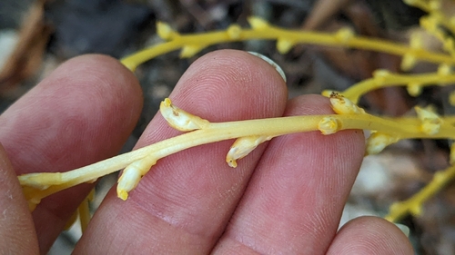
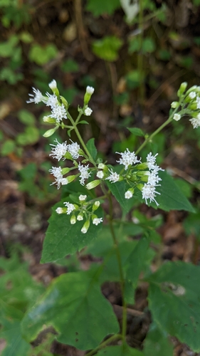
Research-grade observations from iNaturalist (within ~15 mi).
Nearest stream gauge
Events
Gallery
Sources
- • Wikipedia
- • US Census Bureau (ACS 5-year estimates)
- • NOAA National Weather Service
- • Wikidata
- • NCES via Urban Institute Education Data Portal
- • iNaturalist
- • CDC PLACES
- • Open-Meteo / sunrise-sunset.org
- • Wikipedia Pageviews API
- • Open Library