Browse / United States / Tennessee / Cosby
Cosby
TennesseeCDP

Cosby
Total population
779
Median home value
$0
Bachelor's+
Median income
$91,563
Demographic figures from US Census Bureau · ACS 5-year estimates. Overview below cites Wikipedia and may reference a different year.
City facts
Facts from Wikidata (CC0).
Overview
Cosby is a census-designated place (CDP) and unincorporated community in Cocke County in the U.S. state of Tennessee. The population of the Cosby CDP according to the 2020 census was 807. The community has given its name to the northeastern section of the Great Smoky Mountains National Park, which forms its southern boundary. Cosby's zip code also extends to into Sevier County, and borders the town of Pittman Center.
Read more on WikipediaHistory & geography
History
For centuries, lands along the northern rim of the Great Smokies, including Cosby, were used primarily as hunting grounds by the Cherokee. The first European settlers arrived in what is now Cocke County in the early 1780s. Among these settlers were John Gilliland (c. 1725-1798), who settled near the mouth of the Pigeon River, Peter Fine (1753–1826), who established Fine's Ferry at what is now Newport, and a small colony of German immigrants from Pennsylvania, who settled in what became known as the Dutch Bottoms area. Samuel Odell (c. 1750-1789) was probably the first to settle in the Cosby Creek valley. These early encroachments no doubt reduced wildlife numbers and agitated the Cherokee, who harassed the early settlers by harvesting from their livestock. Fine's brother, Vinet, was killed while chasing a band of Cherokee in 1783. Scalpings were also reported. The fort quickly grew into a small frontier outpost, complementing the fords and ferry to the north. While Cherokee raids continued, the Cosby area was largely peaceful by the early 19th century. The origin of the name "Cosby" is a mystery, although two well-established hypotheses are given. The first centers around an early trapper and distiller in the area named Jonathan Cosby (sometimes spelled "Cozby"). The second suggests that the creek and valley were named after Dr. James Cozby (c. 1752-1831), a Revolutionary War veteran and friend of John Sevier, who may have made early claims to land along the creek. In any case, the name appears as early as 1838 in the minutes of the Big Pigeon Church in reference to the Bethany Church that had recently been founded along "Cosby Creek". Cocke County, like much of East Tennessee, was divided between Union and Confederate sentiments during the American Civil…
Geography
Cosby is located on the northeast fringe of the Great Smoky Mountains. The community is spread out over a narrow valley that runs from Allen Grove near Newport in the north to the border of the national park to the south. English Mountain rises over 2,000 feet above Cosby to the northwest and Green Mountain rises just over 1,500 feet to the east. The Great Smoky Mountain National Park to the south and southwest forms several segments of the boundary of the community. Cosby Creek, its source on the crest of the Smokies near Cammerer Ridge, is the valley's main watershed. The creek cuts through the valley, running roughly parallel to Tennessee Route 32/U.S. Route 321 before turning east near Allen Grove and emptying into the Pigeon River. Traditionally, Cosby has been divided into three sections of differing elevation, known simply as Lower Cosby, Middle Cosby, and Upper Cosby. Lower Cosby is the northernmost section, roughly consisting of the area between the mouth of Cosby Creek along the Pigeon River and Jones Cove Road. Upper Cosby, most of which is now part of the national park, consists mainly of the area in the vicinity of the Cosby Campground. U.S. Route 321 is the main road in Cosby, connecting the valley to Newport (10 miles to the north) and Gatlinburg (20 miles to the west). TN-339, which intersects US-321 near the center of Cosby, connects the valley with Jones Cove and Sevierville to the west. The easternmost segment of the Foothills Parkway intersects with U.S. Route 321 one-quarter mile further south. TN-32 parallels US-321 through most of Cosby before splitting off and heading east to the Cosby section of the national park and onward to the Tennessee-North Carolina border.
Excerpted from the corresponding Wikipedia article (CC BY-SA).
Demographics & economy
Race & ethnicity
Source: US Census Bureau — American Community Survey, 5-year estimates.
Geography
Coordinates & boundaries from the US Census TIGER/Line shapefiles.
Climate
Current forecast
Forecast for Cosby, TN from NOAA NWS API.
Air quality
Industrial & pollution facilities
Natural hazard risk
Health (adults)
Walkability
Amenities nearby
Wildlife & biodiversity
Schools
Earthquake history
Photos
Sights & places nearby
Notable people from here

People born within ~10 km, from Wikidata (CC0). Click any name for their Wikipedia article.
Nearby places in Tennessee
- Pittman Center8.4 mi away · pop. 583
- Fairgarden11.7 mi away
- Dandridge19.2 mi away
- White Pine21.3 mi away
- Strawberry Plains29.1 mi away
- Seymour29.5 mi away · pop. 16,216
- Bulls Gap33.6 mi away
- Mascot34.6 mi away · pop. 3,277
- John Sevier36.5 mi away · pop. 1,177
- Bean Station37.6 mi away · pop. 3,016
- Alcoa40.8 mi away
- Maryville41.3 mi away · pop. 32,392
Geography & sun
Elevation, sunrise/sunset and daylight from Open-Meteo. Solar climatology from NASA POWER.
Nearby airports
Public attention
Pageview totals from the Wikimedia Pageviews API.
Books about Cosby
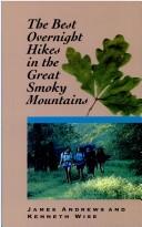

Search results from Open Library.
Recent natural events nearby
Ground air-quality sensors
Recently spotted species

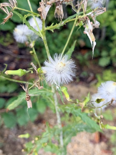
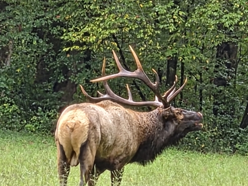
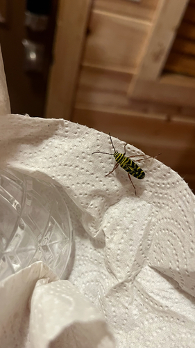
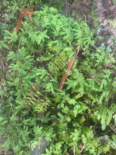
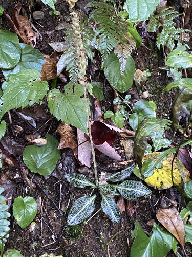
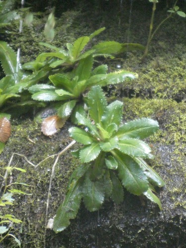
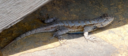
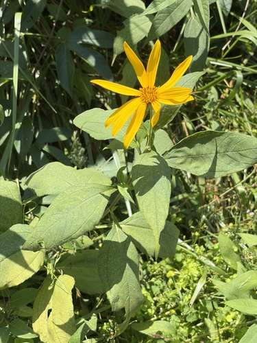
Research-grade observations from iNaturalist (within ~15 mi).
Nearest stream gauge
Events
Gallery
Sources
- • Wikipedia
- • US Census Bureau (ACS 5-year estimates)
- • NOAA National Weather Service
- • Wikidata
- • iNaturalist
- • Open-Meteo / sunrise-sunset.org
- • Wikipedia Pageviews API
- • Open Library