Browse / Tunisia / Kairouan / El Ghabet
El Ghabet
Kairouanvillage
Air quality index
Demographic figures from INS Tunisia. Overview below cites Wikipedia and may reference a different year.
City facts
Overview
Within Kairouan, Tunisia, El Ghabet stands as a village. On the world map it falls within the Eastern Hemisphere, specifically at 35.739°, 10.145°. No reliable population estimate is published for this entry in the open data we rely on. Its latitude implies a climate characterised by warm summers and cool winters. The location receives about 1,872 kWh/m² of solar irradiance per year and sunshine for roughly 73% of daylight hours. Continue scrolling for population, climate, environmental and points-of-interest data drawn from public sources.
Summary composed automatically from structured open data on this page. See our Terms for details.
History & geography
Geography
Coordinates & boundaries from the US Census TIGER/Line shapefiles.
Climate
Air quality
Current readings from Open-Meteo Air Quality API (Copernicus CAMS European reanalysis).
Walkability
Amenities nearby
Wildlife & biodiversity
Most-observed species
- Spanish SparrowPasser hispaniolensis (Temminck, 1820) · Aves11
- Barn SwallowHirundo rustica Linnaeus, 1758 · Aves10
- Spotless StarlingSturnus unicolor Temminck, 1820 · Aves8
- Cattle EgretBubulcus ibis (Linnaeus, 1758) · Aves7
- White StorkCiconia ciconia (Linnaeus, 1758) · Aves7
- Rock PigeonColumba livia J.F.Gmelin, 1789 · Aves7
- Great Gray ShrikeLanius excubitor Linnaeus, 1758 · Aves7
- House SparrowPasser domesticus (Linnaeus, 1758) · Aves6
Citizen-science & research observations from the Global Biodiversity Information Facility (GBIF).
Earthquake history
Most recent
- M 4.3 — 2024-11-2814 km WNW of Bou Arada, Tunisia
- M 4.2 — 2023-03-2514 km SW of Sidi el Hani, Tunisia
- M 4.4 — 2013-10-213 km ESE of Bekalta, Tunisia
- M 4.4 — 2013-10-186 km ENE of Seïada, Tunisia
- M 4.8 — 2010-11-1313 km SW of Jilma, Tunisia
- M 4.2 — 2006-07-13Tunisia
Events from the USGS Earthquake Catalog (global) (FDSN Event Web Service).
Photos
Sights & places nearby
Notable people from here


People born within ~10 km, from Wikidata (CC0). Click any name for their Wikipedia article.
Nearby places in Kairouan
- Merahna115.7 mi away · pop. 13,319
- M'Zaret Boumendjel116.5 mi away
- Souk Ahras128.1 mi away · pop. 155,259
- M'Daourouch132.1 mi away · pop. 41,243
- Hadj Rabah146.6 mi away
- Settara157 mi away
- Slapany993.6 mi away
- Rovná1000.6 mi away · pop. 582
- Žírovice1001.1 mi away · pop. 214
- Dasnice1002.8 mi away · pop. 353
- Vojtanov1002.9 mi away · pop. 174
- Citice1004.2 mi away · pop. 713
Geography & sun
Elevation, sunrise/sunset and daylight from Open-Meteo. Solar climatology from NASA POWER.
Nearby airports
Public attention
Books about this place
Recent natural events nearby
Ground air-quality sensors
Recently spotted species
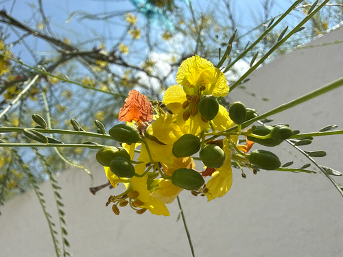
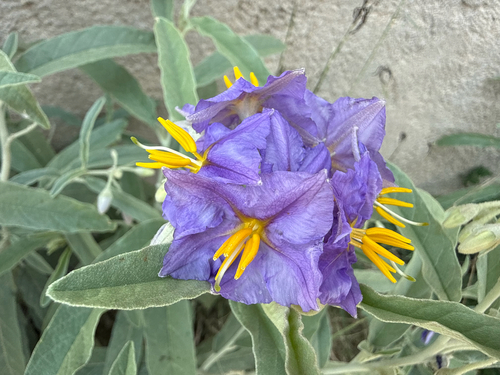
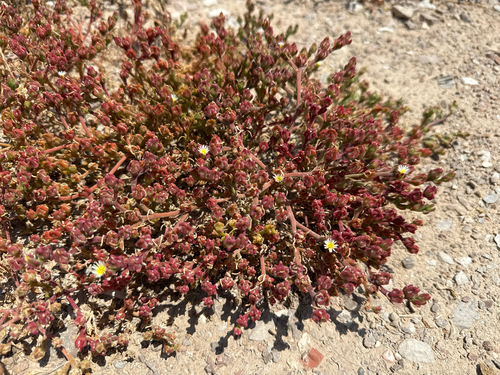
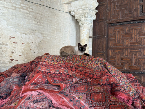
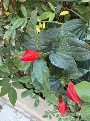
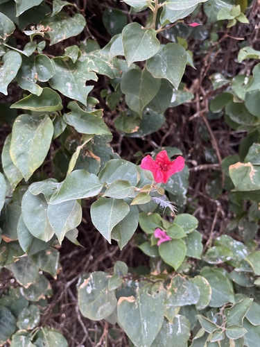
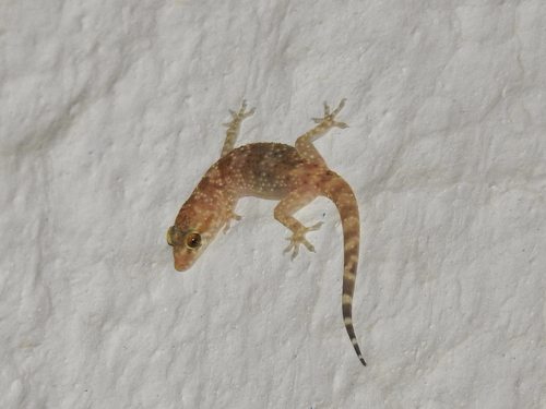
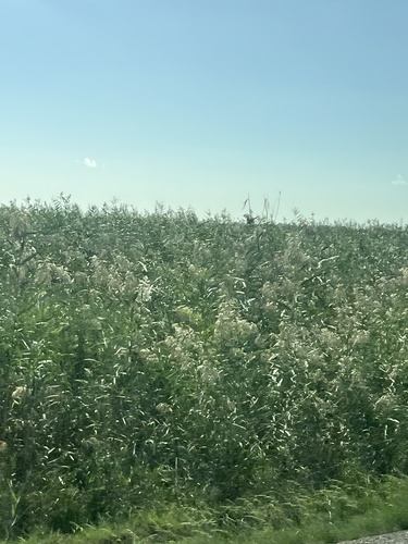
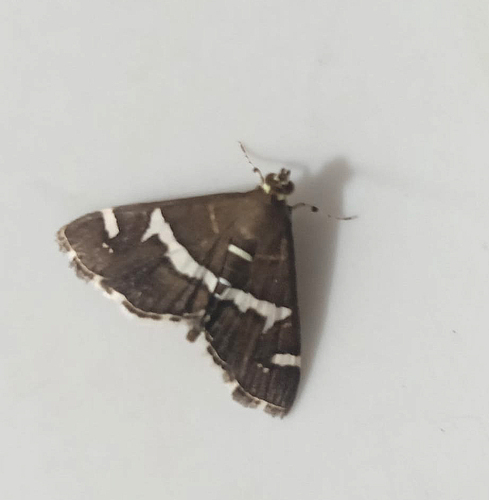
Research-grade observations from iNaturalist (within ~15 mi).
Events
Gallery
Sources
- • Wikidata
- • Open-Meteo Air Quality (CAMS)
- • USGS Earthquake Catalog (global feed)
- • GBIF (Global Biodiversity Information Facility)
- • iNaturalist
- • Open-Meteo / sunrise-sunset.org