Browse / United States / Tennessee / Gallatin
Gallatin
Tennesseecity

Gallatin
Total population
48,532
Median home value
$372,000
Bachelor's+
Median income
$77,518
Founded
1802
Demographic figures from US Census Bureau · ACS 5-year estimates. Overview below cites Wikipedia and may reference a different year.
City facts
Facts from Wikidata (CC0).
Overview
Gallatin is a city in and the county seat of Sumner County, Tennessee, United States. The population was 44,431 at the 2020 census and is estimated to be 52,489 as of 2024. Named for United States Secretary of the Treasury Albert Gallatin, the city was established on the Cumberland River and made the county seat of Sumner County in 1802. It is located about 30.6 miles northeast of the state capital of Nashville, Tennessee.
Read more on WikipediaHistory & geography
History
Prior to Gallatin's official establishment, the area along Station Camp Creek was secured by early pioneers. In 1780, Captain William Asher established Asher's Station. This fortified stockade served as a vital defensive outpost and a voting hub under the Cumberland Compact. Gallatin was later established in 1802 as the permanent county seat of Sumner County, in what is called the Middle Tennessee region of the state. The town was named after Albert Gallatin, Secretary of Treasury to Presidents Thomas Jefferson and James Madison. Andrew Jackson became one of the first to purchase a lot when the town was surveyed and platted in 1803. The town was built around a traditional plan of an open square. Jackson founded the first general store in Gallatin. In 1803, the first county courthouse and jail were built on the central town square. In 1815, the town was incorporated. In the mid-20th century, it operated under a charter established by a 1953 Private Act of the State Legislature. During the secession crisis just before the Civil War, the citizens of Gallatin hoped to remain neutral; they were opposed to secession from the Union. Once the fighting began, however, they gave almost unanimous support to the Confederacy and volunteered to serve in defense of their state. The Union Army captured Gallatin in February 1862, following Ulysses S. Grant's capture of Fort Donelson. Gallatin was strategic both because of the railroad, which ran east–west through the state, and its location on the Cumberland River, both of which the Union Army sought to control. In July 1862, General John Hunt Morgan recaptured Gallatin and held it until October, when the Confederate forces fell back to Chattanooga. In November 1862, Union General Eleazer A. Paine retook the town, and Union troops…
Geography
According to the United States Census Bureau, the city has a total area of , of which are land and (2.18%) is covered by water. Gallatin has variety of natural landscapes: open fields, forests, hills, and lakes. The city is located on Station Camp Creek, 3 mi (5 km) north of the Cumberland River, which was the chief route of transportation in the county's early years of settlement. Old Hickory Lake, a man-made lake built by the U.S. Army Corps of Engineers as a result of a dam and lock on the Cumberland River, is located southwest of the city near Hendersonville. Gallatin was on the path of the total solar eclipse of August 21, 2017. Totality of the eclipse, lasting 2 minutes, 38.7 seconds, occurred just before 1:30 PM local DST time (18:28:52.3 UTC) High temperatures average during the winter, in spring, in summer, and in fall. The coolest month is January, and July is the warmest. The lowest recorded temperature was in 1985. The highest recorded temperature was in 2007. The maximum average precipitation occurs in March.
Excerpted from the corresponding Wikipedia article (CC BY-SA).
Demographics & economy
Race & ethnicity
Source: US Census Bureau — American Community Survey, 5-year estimates.
Geography
Coordinates & boundaries from the US Census TIGER/Line shapefiles.
Climate
Current forecast
Forecast for Gallatin, TN from NOAA NWS API.
Air quality
Industrial & pollution facilities
Natural hazard risk
Health (adults)
Age-adjusted prevalence estimates from CDC PLACES (latest release).
Walkability
Amenities nearby
Wildlife & biodiversity
Schools
Largest nearby schools
- Gallatin Senior High SchoolHigh · Gallatin · 1,659 students · 15.4:1 ratio
- Hendersonville High SchoolHigh · Hendersonville · 1,537 students · 16.5:1 ratio
- Beech Sr High SchoolHigh · Hendersonville · 1,475 students · 16.6:1 ratio
- Station Camp High SchoolHigh · Gallatin · 1,110 students · 14.2:1 ratio
- Station Camp ElementaryElementary · Gallatin · 872 students · 17.4:1 ratio
- Station Camp Middle SchoolMiddle · Gallatin · 861 students · 15.4:1 ratio
- Jack Anderson ElementaryElementary · Hendersonville · 830 students · 15.1:1 ratio
- Dr. William Burrus Elementary at Drakes CreekElementary · Hendersonville · 741 students · 16.1:1 ratio
Public K–12 schools within ~10 mi from Urban Institute Education Data Portal (NCES Common Core of Data, 2022).
Earthquake history
Photos
Sights & places nearby
Notable people from here


People born within ~10 km, from Wikidata (CC0). Click any name for their Wikipedia article.
Nearby places in Tennessee
- Graball7.2 mi away
- Shackle Island8.3 mi away · pop. 4,404
- Castalian Springs9 mi away · pop. 678
- White House12.6 mi away
- Mount Juliet12.8 mi away · pop. 42,073
- Goodlettsville13.6 mi away
- Cross Plains16 mi away
- Westmoreland17.7 mi away
- Fairfield17.9 mi away · pop. 351
- Greenbrier18.2 mi away · pop. 6,971
- Tuckers Crossroads20.6 mi away
- Norene26 mi away · pop. 137
Geography & sun
Elevation, sunrise/sunset and daylight from Open-Meteo. Solar climatology from NASA POWER.
Nearby airports
Public attention
Pageview totals from the Wikimedia Pageviews API.
Books about Gallatin
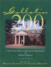


Search results from Open Library.
Recent natural events nearby
Ground air-quality sensors
Recently spotted species

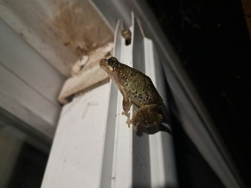
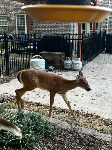
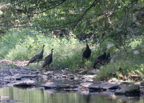



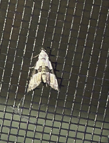
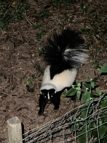
Research-grade observations from iNaturalist (within ~15 mi).
Nearest stream gauge
Events
Gallery
Sources
- • Wikipedia
- • US Census Bureau (ACS 5-year estimates)
- • NOAA National Weather Service
- • Wikidata
- • NCES via Urban Institute Education Data Portal
- • iNaturalist
- • CDC PLACES
- • Open-Meteo / sunrise-sunset.org
- • Wikipedia Pageviews API
- • Open Library