Browse / United States / Tennessee / Iron City
Iron City
TennesseeCDP

Iron City
Total population
282
Median home value
$41,000
Bachelor's+
Median income
$0
Demographic figures from US Census Bureau · ACS 5-year estimates. Overview below cites Wikipedia and may reference a different year.
City facts
Facts from Wikidata (CC0).
Overview
Iron City is a census-designated place and former city in Lawrence County, Tennessee.
Read more on WikipediaHistory & geography
History
Iron City gets its name from an iron foundry that operated in its vicinity in the late 19th century. While iron ore was mined in southwestern Lawrence County as early as the 1830s, the industry really began to thrive in 1886, when a branch railroad line to the area was completed. Iron City incorporated the following year. This legislative change moved all territory south and east of that road into Lawrence County, effectively placing the entirety of Iron City within Lawrence County before its official incorporation. The community has since remained in Lawrence County. At its height, Iron City supported a population of about 1,000 and included two hotels and two banks.
Geography
Iron City is situated in the Shoal Creek Valley, north of the Tennessee-Alabama state line. Iron City is surrounded by rugged hills on the north, south, and west, and by the creek on the east. State Route 227 passes east-to-west through Iron City, connecting it to St. Joseph across the hills to the east and State Route 13 south of Collinwood to the west. State Route 242, which intersects SR 227 in Iron City, connects the community with Westpoint and Lawrenceburg to the northeast. Poplar Street/Pruitton Road connects Iron City with Lauderdale County, Alabama, to the south, becoming County Road 61 at the state line. According to the United States Census Bureau, the CDP has a total area of 0.9 square miles (2.4 km2), all land.
Excerpted from the corresponding Wikipedia article (CC BY-SA).
Demographics & economy
Race & ethnicity
Source: US Census Bureau — American Community Survey, 5-year estimates.
Geography
Coordinates & boundaries from the US Census TIGER/Line shapefiles.
Climate
Current forecast
Forecast for Iron City, TN from NOAA NWS API.
Air quality
Industrial & pollution facilities
Natural hazard risk
Health (adults)
Walkability
Amenities nearby
Wildlife & biodiversity
Schools
Earthquake history
Photos
Sights & places nearby
Notable people from here


People born within ~10 km, from Wikidata (CC0). Click any name for their Wikipedia article.
Nearby places in Tennessee
- St. Joseph4.8 mi away · pop. 783
- Loretto9.2 mi away
- Lawrenceburg21.2 mi away
- Waynesboro23 mi away · pop. 2,296
- Ethridge26.2 mi away
- Summertown32.5 mi away · pop. 733
- Clifton33.5 mi away · pop. 2,660
- Olivet36.6 mi away
- Nixon38.6 mi away · pop. 294
- Elkton39.1 mi away · pop. 469
- Savannah39.2 mi away · pop. 7,412
- Ardmore41.6 mi away · pop. 1,073
Geography & sun
Elevation, sunrise/sunset and daylight from Open-Meteo. Solar climatology from NASA POWER.
Nearby airports
Public attention
Pageview totals from the Wikimedia Pageviews API.
Books about Iron City



Search results from Open Library.
Recent natural events nearby
Ground air-quality sensors
Recently spotted species

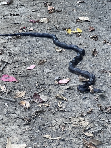

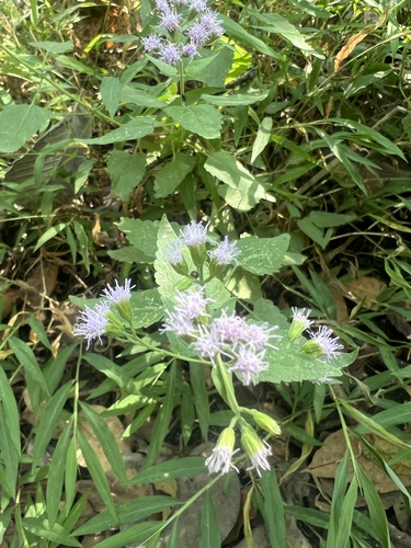
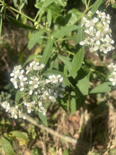
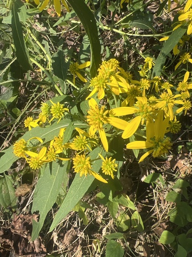


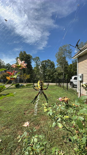
Research-grade observations from iNaturalist (within ~15 mi).
Nearest stream gauge
Events
Gallery
Sources
- • Wikipedia
- • US Census Bureau (ACS 5-year estimates)
- • NOAA National Weather Service
- • Wikidata
- • iNaturalist
- • Open-Meteo / sunrise-sunset.org
- • Wikipedia Pageviews API
- • Open Library