Browse / Tunisia / Monastir / Khniss
Khniss
Monastirvillage
Demographic figures from INS Tunisia. Overview below cites Wikipedia and may reference a different year.
City facts
Facts from Wikidata (CC0).
Overview
Khniss is a small coastal city in the Tunisian Sahel region, located approximately 5 km south of Monastir. It is a commune of the Monastir Governorate, with a total municipal area of 18.17 km² and a population of 12,627 as of the 2024 census, up from 11,229 in 2014, reflecting an annual growth rate of 1.1% over the intercensal decade.
Read more on WikipediaHistory & geography
History
During Classical Antiquity, Khniss formed part of the agricultural and resource hinterland of Phoenician and Roman Ruspina. The area was prized for its high-grade sandstone, which was extracted in open quarries to build monuments across the Sahel, leaving visible marks on the local terrain. Following Tunisian independence in 1956, local civic leaders prioritized education. Teachers trained at Al-Zaytuna Mosque in Tunis, led by educators such as Abdelaziz El Sakli, established primary and secondary schooling networks in the city, producing a relatively high concentration of academics, physicians, engineers, magistrates, and administrators for its population size.
Geography
Khniss lies at the northern edge of an extensive marine depression of shallow seabed that stretches south to Cap Dimass in Bekalta, the site of ancient Thapsus. The adjacent sea is divided into two distinct zones: a sheltered, shallow lagoon with little wave action known locally as the "Dead Sea" (Bahr El Mayyit), and an outer zone with moderate currents and waves known as the "Live Sea" (Bahr El Hayy). The natural wetland of Sabkhet Khniss, contiguous with the Monastir salt pans, covers about 12 km². In parts of the shallow seabed, remains of Roman mosaics can be seen near the sewage treatment plant of Lamta-Sayyada. Local oral tradition refers to the area as "Al Maklouba" ("the overturned land"), an old myth attributing the altered coastal landscape to a major earthquake. In recent decades, the lagoon's ecological balance has been disrupted by a combination of poor planning and pollution. Infrastructure built to divert rainwater and protect the Monastir-Skanes International Airport and the nearby presidential summer residence, along with an artificial sand barrier known as Drina built across the natural drainage course, has restricted tidal exchange. Untreated and semi-treated wastewater from the Office National de l'Assainissement (ONAS) treatment plant serving Lamta and Sayyada has further degraded water quality, contributing to eutrophication, the regression of Posidonia oceanica seagrass meadows, and a decline in fish stocks. Despite this pressure, Sabkhet Khniss remains ecologically significant. During the 2025 breeding season, ornithological surveys confirmed two nesting pairs of the Red-crested pochard (Netta rufina), the first verified breeding record of the species in a Tunisian wetland.
Excerpted from the corresponding Wikipedia article (CC BY-SA).
Geography
Coordinates & boundaries from the US Census TIGER/Line shapefiles.
Climate
Air quality
Walkability
Amenities nearby
Wildlife & biodiversity
Most-observed species
- Yellow-legged GullLarus michahellis J.F.Naumann, 1840 · Aves151
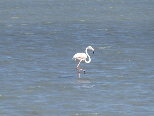
- Greater FlamingoPhoenicopterus roseus Pallas, 1811 · Aves81
- Spanish SparrowPasser hispaniolensis (Temminck, 1820) · Aves68
- Laughing DoveSpilopelia senegalensis (Linnaeus, 1766) · Aves67
- Spotless StarlingSturnus unicolor Temminck, 1820 · Aves61
- Slender-billed GullChroicocephalus genei (Brème, 1839) · Aves56
- Great Gray ShrikeLanius excubitor Linnaeus, 1758 · Aves46
- Rock PigeonColumba livia J.F.Gmelin, 1789 · Aves45
Citizen-science & research observations from the Global Biodiversity Information Facility (GBIF).
Earthquake history
Most recent
- M 4.3 — 2024-03-2924 km SE of Menzel Heurr, Tunisia
- M 4.2 — 2023-03-2514 km SW of Sidi el Hani, Tunisia
- M 4 — 2016-06-0222 km SE of Menzel Heurr, Tunisia
- M 4.4 — 2013-10-213 km ESE of Bekalta, Tunisia
- M 4.4 — 2013-10-186 km ENE of Seïada, Tunisia
- M 4.1 — 2013-03-2567 km NE of Bekalta, Tunisia
Events from the USGS Earthquake Catalog (global) (FDSN Event Web Service).
Photos
Sights & places nearby
Notable people from here


People born within ~10 km, from Wikidata (CC0). Click any name for their Wikipedia article.
Nearby places in Monastir
- Monastir3.9 mi away · pop. 104,535
- Bouhjar4 mi away
- Ouled Faiza15 mi away
- Porto Ercole462.1 mi away · pop. 2,676
- Orbetello465 mi away · pop. 14,878
- Pianosa476.4 mi away · pop. 5
- Poderi di Montemerano477.9 mi away · pop. 61
- Pomonte479.2 mi away · pop. 26
- Pereta479.6 mi away · pop. 182
- Il Casone482 mi away
- Principina a Mare482.6 mi away
- Poggioferro483.5 mi away · pop. 197
Geography & sun
Elevation, sunrise/sunset and daylight from Open-Meteo. Solar climatology from NASA POWER.
Nearby airports
Public attention
Pageview totals from the Wikimedia Pageviews API.
Books about Khniss
Search results from Open Library.
Recent natural events nearby
Ground air-quality sensors
Recently spotted species
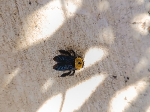
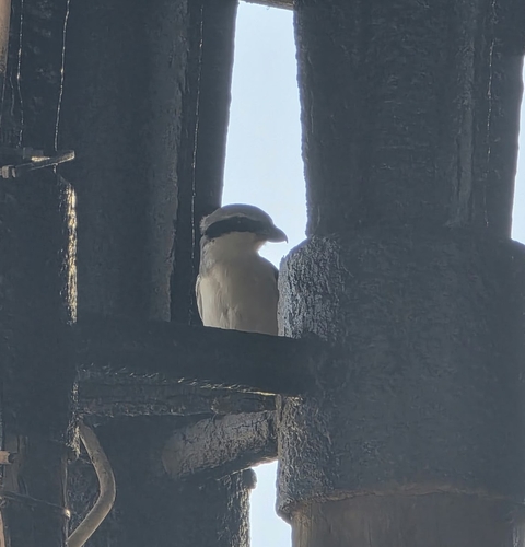
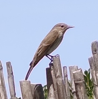
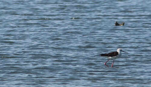
Research-grade observations from iNaturalist (within ~15 mi).
Events
Gallery
Sources
- • Wikipedia
- • Wikidata
- • USGS Earthquake Catalog (global feed)
- • GBIF (Global Biodiversity Information Facility)
- • iNaturalist
- • Open-Meteo / sunrise-sunset.org
- • Wikipedia Pageviews API
- • Open Library