Browse / United States / Tennessee / Knoxville
Knoxville
Tennesseecity

Knoxville
Total population
198,708
Median home value
$294,700
Bachelor's+
Median income
$57,298
Founded
1786
Air quality index
Demographic figures from US Census Bureau · ACS 5-year estimates. Overview below cites Wikipedia and may reference a different year.
City facts
Facts from Wikidata (CC0).
Overview
Knoxville is a city in Knox County, Tennessee, United States, and its county seat. Located on the Tennessee River within the Appalachian Mountains, it is the largest city in the Grand Division of East Tennessee. Knoxville had a population of 190,740 at the 2020 census, making it the third-most populous city in Tennessee. The Knoxville metropolitan area has an estimated 958,000 residents.
Read more on WikipediaHistory & geography
History
The first people to form substantial settlements in what is now Knoxville were indigenous people who arrived during the Woodland period ( 1000 B.C. to 1000 A.D.). One of the oldest artificial structures in Knoxville is a burial mound constructed during the early Mississippian culture period ( 1000–1400 A.D.). The earthwork mound was preserved, but the University of Tennessee campus developed around it. Other prehistoric sites include an Early Woodland habitation area at the confluence of the Tennessee River and Knob Creek (near the Knox–Blount county line) and at Bussell Island (at the mouth of the Little Tennessee River near Lenoir City). By the 18th century, the Cherokee, an Iroquoian language people, had become the dominant tribe in the East Tennessee region. They are believed to have migrated from the Great Lakes region centuries earlier. They were frequently at war with the Creek and Shawnee. The Cherokee people called the Knoxville area kuwanda'talun'yi, which means "mulberry place". Most Cherokee habitation in the area concentrated in what American colonists called the Overhill settlements along the Little Tennessee River, southwest of Knoxville. The first white traders and explorers arrived in the Tennessee Valley in the late 17th century. There is significant evidence that Spanish explorer Hernando de Soto visited Bussell Island in 1540. However, the first major recorded Euro-American presence in the Knoxville area was the Timberlake Expedition, which passed through the area in December 1761 at the confluence of the Holston River and French Broad River into the Tennessee River. A British soldier and Anglo-American emissary from the Thirteen Colonies to the Overhill settlements, Henry Timberlake appreciated the Tennessee's deep waters after his party had…
Geography
According to the United States Census Bureau, the city has a total area of , of which is land and , or 5.42%, is water. Elevations range from just over along the riverfront to just over on various hilltops in West Knoxville, with the downtown area setting at just over . High points include Sharp's Ridge in North Knoxville at and Brown Mountain in South Knoxville at . Knoxville is situated in the Great Appalachian Valley (known locally as the Tennessee Valley), about halfway between the Great Smoky Mountains to the east and the Cumberland Plateau to the west. The Great Valley is part of a sub-range of the Appalachian Mountains known as the Ridge-and-Valley Appalachians, which is characterized by long narrow ridges flanked by broad valleys. Prominent Ridge-and-Valley structures in the Knoxville area include Sharp's Ridge and Beaver Ridge in the northern part of the city, Brown Mountain in South Knoxville, parts of Bays Mountain just south of the city, and parts of McAnnally Ridge in the northeastern part of the city. The Tennessee River, which passes through the downtown area, is formed in southeastern Knoxville at the confluence of the Holston River, which flows southwest from Virginia, and the French Broad River, which flows west from North Carolina. The section of the Tennessee River that passes through Knoxville is part of Fort Loudoun Lake, an artificial reservoir created by TVA's Fort Loudoun Dam about downstream in Lenoir City. Notable tributaries of the Tennessee in Knoxville include First Creek and Second Creek, which flow through the downtown area, Third Creek, which flows west of U.T., and Sinking Creek, Ten Mile Creek, and Turkey Creek, which drain West Knoxville. Knoxville falls in the humid subtropical climate (Köppen: Cfa) zone. Summers are hot and…
Excerpted from the corresponding Wikipedia article (CC BY-SA).
Demographics & economy
Race & ethnicity
Source: US Census Bureau — American Community Survey, 5-year estimates.
Geography
Coordinates & boundaries from the US Census TIGER/Line shapefiles.
Climate
10-year averages from ERA5 reanalysis (Open-Meteo).
Current forecast
Forecast for Knoxville, TN from NOAA NWS API.
Air quality
Current readings from Open-Meteo Air Quality API (Copernicus CAMS European reanalysis).
Industrial & pollution facilities
Natural hazard risk
Health (adults)
Age-adjusted prevalence estimates from CDC PLACES (latest release).
Walkability
Amenities nearby
Wildlife & biodiversity
Most-observed species
- Northern CardinalCardinalis cardinalis (Linnaeus, 1758) · Aves29,532
- American RobinTurdus migratorius Linnaeus, 1766 · Aves24,682
- Carolina WrenThryothorus ludovicianus (Latham, 1790) · Aves24,371
- Carolina ChickadeePoecile carolinensis (Audubon, 1834) · Aves23,695
- Blue JayCyanocitta cristata (Linnaeus, 1758) · Aves22,207
- American CrowCorvus brachyrhynchos C.L.Brehm, 1822 · Aves21,462
- Northern MockingbirdMimus polyglottos (Linnaeus, 1758) · Aves21,262
- Mourning DoveZenaida macroura (Linnaeus, 1758) · Aves21,075
Citizen-science & research observations from the Global Biodiversity Information Facility (GBIF).
Schools
Largest nearby schools
- Tennessee Virtual AcademyElementary · Knoxville · 2,168 students · 16.4:1 ratio
- Bearden High SchoolHigh · Knoxville · 1,997 students · 16.2:1 ratio
- West High SchoolHigh · Knoxville · 1,478 students · 17:1 ratio
- Powell High SchoolHigh · Powell · 1,347 students · 17.5:1 ratio
- Central High SchoolHigh · Knoxville · 1,294 students · 13.6:1 ratio
- Halls High SchoolHigh · Knoxville · 1,265 students · 16.2:1 ratio
- Cedar Bluff ElementaryElementary · Knoxville · 1,226 students · 15:1 ratio
- Karns ElementaryElementary · Knoxville · 1,210 students · 14.9:1 ratio
Public K–12 schools within ~10 mi from Urban Institute Education Data Portal (NCES Common Core of Data, 2022).
Earthquake history
Most recent
- M 2.65 — 2026-03-2410 km SSW of Dillsboro, North Carolina
- M 2.6 — 2026-01-0411 km SW of Middlesboro, Kentucky
- M 2.5 — 2025-08-196 km SE of Seymour, Tennessee
- M 2.57 — 2025-07-102 km E of Greenback, Tennessee
- M 4.1 — 2025-05-1021 km SE of Greenback, Tennessee
- M 2.51 — 2024-08-054 km SSE of Sevierville, Tennessee
Events from the USGS Earthquake Catalog (global) (FDSN Event Web Service).
Photos
Sights & places nearby
Notable people from here


People born within ~10 km, from Wikidata (CC0). Click any name for their Wikipedia article.
Geography & sun
Elevation, sunrise/sunset and daylight from Open-Meteo. Solar climatology from NASA POWER.
Nearby airports
Public attention
Pageview totals from the Wikimedia Pageviews API.
Books about Knoxville
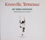


Search results from Open Library.
Recent natural events nearby
- STE - Alum Wildfire, McCreary, KentuckyWildfires · 2026-04-12 · 63 mi
- Slate Branch Wildfire, Mingo, West VirginiaWildfires · 2026-04-12 · 155 mi
- Old House Branch Wildfire, Mingo, West VirginiaWildfires · 2026-04-13 · 160 mi
Wildfires, storms and other events from NASA EONET (last 12 months, within 250 mi).
Ground air-quality sensors
Recently spotted species

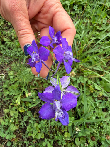
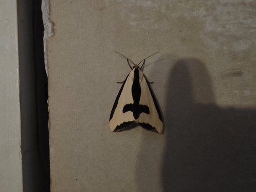

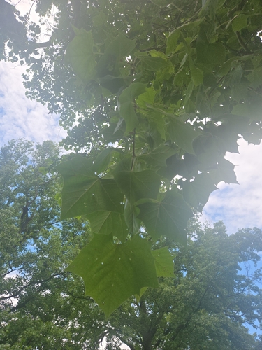
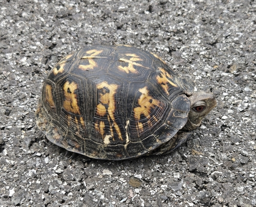
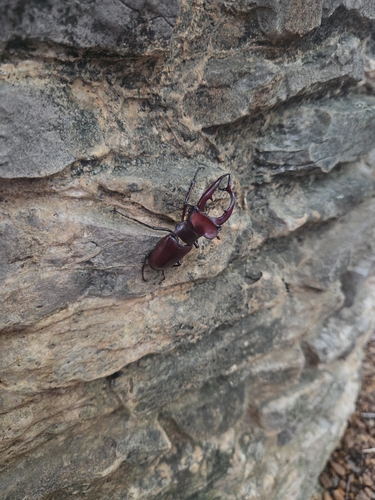
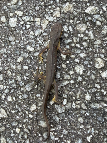

Research-grade observations from iNaturalist (within ~15 mi).
Nearest stream gauge
Live readings from USGS NWIS · measured 2026-06-14 22:30 UTC.
Events
Gallery
Sources
- • Wikipedia
- • US Census Bureau (ACS 5-year estimates)
- • Open-Meteo (ERA5 reanalysis)
- • NOAA National Weather Service
- • Wikidata
- • Open-Meteo Air Quality (CAMS)
- • USGS Earthquake Catalog (global feed)
- • USGS NWIS (water data)
- • NCES via Urban Institute Education Data Portal
- • GBIF (Global Biodiversity Information Facility)
- • iNaturalist
- • CDC PLACES
- • Open-Elevation
- • Open-Meteo / sunrise-sunset.org
- • Wikipedia Pageviews API
- • Open Library
- • NASA EONET