Browse / Tunisia / Mahdia / Ksesba
Ksesba
Mahdiavillage
Demographic figures from INS Tunisia. Overview below cites Wikipedia and may reference a different year.
City facts
Overview
Situated in Mahdia, Tunisia, Ksesba is a village. Detailed population figures are not currently catalogued in the open data sources we track. Coordinates of 35.377°, 10.644° situate Ksesba in the warm-temperate zone of the northern hemisphere. Climatically, locations at this latitude tend to experience warm summers and cool winters. Open solar datasets indicate about 1,872 kWh/m² of solar irradiance per year, combined with sunshine for roughly 73% of daylight hours. Long-term weather observations show average highs near 80.2°F and lows near 58.8°F with about 12 in of annual precipitation (a relatively dry total). Additional figures on demographics, climate, geography and points of interest appear in the sections that follow, all drawn from open public datasets.
Summary composed automatically from structured open data on this page. See our Terms for details.
History & geography
Geography
Coordinates & boundaries from the US Census TIGER/Line shapefiles.
Climate
10-year averages from ERA5 reanalysis (Open-Meteo).
Air quality
Walkability
Amenities nearby
Wildlife & biodiversity
Most-observed species
- Rock PigeonColumba livia J.F.Gmelin, 1789 · Aves39
- Spotless StarlingSturnus unicolor Temminck, 1820 · Aves9
- Laughing DoveSpilopelia senegalensis (Linnaeus, 1766) · Aves9
- Eurasian BlackbirdTurdus merula Linnaeus, 1758 · Aves8
- Eurasian KestrelFalco tinnunculus Linnaeus, 1758 · Aves8
- Spanish SparrowPasser hispaniolensis (Temminck, 1820) · Aves7
- Barn SwallowHirundo rustica Linnaeus, 1758 · Aves6
- Pallid SwiftApus pallidus (Shelley, 1870) · Aves5
Citizen-science & research observations from the Global Biodiversity Information Facility (GBIF).
Earthquake history
Most recent
- M 4.2 — 2023-03-2514 km SW of Sidi el Hani, Tunisia
- M 4.4 — 2013-10-213 km ESE of Bekalta, Tunisia
- M 4.4 — 2013-10-186 km ENE of Seïada, Tunisia
- M 3.6 — 2007-09-2647 km NE of Bekalta, Tunisia
- M 4.2 — 2006-07-13Tunisia
- M 3.7 — 2005-11-1652 km ENE of Bekalta, Tunisia
Events from the USGS Earthquake Catalog (global) (FDSN Event Web Service).
Photos
Sights & places nearby
Notable people from here
Nearby places in Mahdia
- Melloulèche26.5 mi away
- Igostène733.4 mi away
- Hassi El Hadjar733.5 mi away
- El Barka744.6 mi away
- In Ghar769.5 mi away
- Bystré1025.9 mi away · pop. 1,658
- Vortová1025.9 mi away · pop. 226
- Předměstí1026 mi away · pop. 65
- Hartmanice1026.1 mi away · pop. 250
- Březiny1026.8 mi away · pop. 139
- Studnice1027.1 mi away · pop. 403
- Stan1027.7 mi away · pop. 100
Geography & sun
Elevation, sunrise/sunset and daylight from Open-Meteo. Solar climatology from NASA POWER.
Nearby airports
Public attention
Books about this place
Recent natural events nearby
Ground air-quality sensors
Recently spotted species
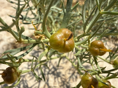
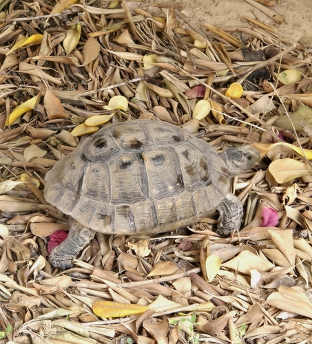
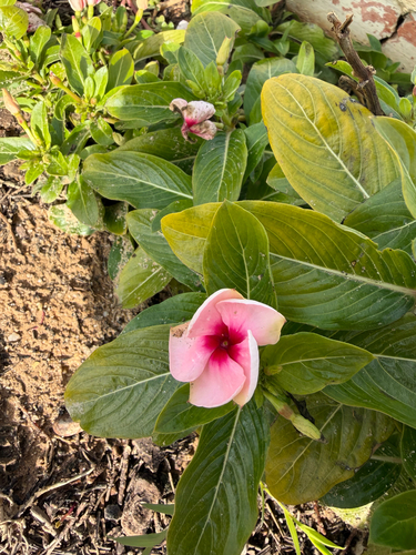
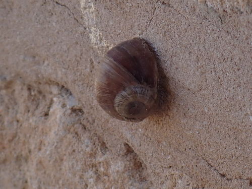
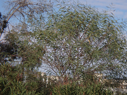
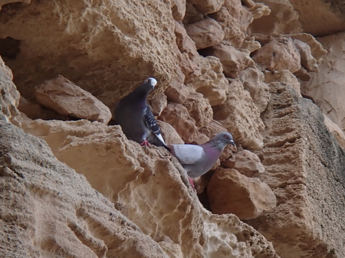
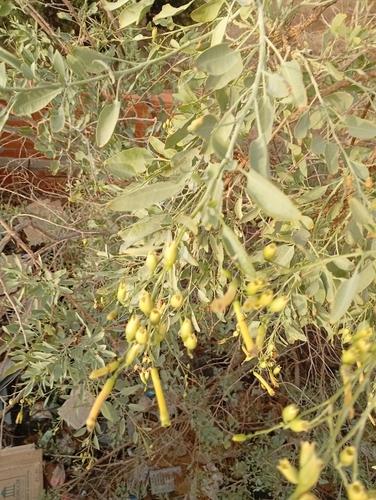
Research-grade observations from iNaturalist (within ~15 mi).
Events
Gallery
Sources
- • Open-Meteo (ERA5 reanalysis)
- • Wikidata
- • USGS Earthquake Catalog (global feed)
- • GBIF (Global Biodiversity Information Facility)
- • iNaturalist
- • Open-Meteo / sunrise-sunset.org