Browse / Tunisia / Mahdia / Ksour Essef
Ksour Essef
Mahdiatown
Total population
26,219
Demographic figures from INS Tunisia. Overview below cites Wikipedia and may reference a different year.
City facts
Facts from Wikidata (CC0).
Overview
Ksour Essef or Ksour Essaf is a town and commune in the Mahdia Governorate, Tunisia, about 200 km south of Tunis. As of 2014 it had a population of 36,274.
Read more on WikipediaHistory & geography
History
The creation of the city coincided with the arrival of Banu Hilal in 1050. After the destruction of the city of Salakta and the arrival of the Arabs, most of the punic, Greek and Roman inhabitants converted to Islam. One of the must beautiful pieces in the Bardo National Museum is a bronze cuirass found in a local sepulture, discovered in 1910. It is an import from Italy datable to c.300 BC. The deceased had been buried in a sarcophagus of cypress wood which had traces of the ochre used at the funeral, as did the bones. This coffin is similar to that found at Gigthis with the following dimensions: 84 cm high, 180 cm long and 68 cm wide. Victor Guérin described the town in 1862: "a sizable town with a population of 5,000 people. It has several mosques, five zawiyas, and three madrasas or schools. Magnificent olive groves surround it."
Geography
Ksour Essef is divided into many suburbs, including El Babouss, El Tafalla, Bab El Ksar and Mallaji city. There are several beaches near the village of Salakta.
Excerpted from the corresponding Wikipedia article (CC BY-SA).
Geography
Coordinates & boundaries from the US Census TIGER/Line shapefiles.
Climate
Air quality
Walkability
Amenities nearby
Wildlife & biodiversity
Earthquake history
Photos
Sights & places nearby
Notable people from here


People born within ~10 km, from Wikidata (CC0). Click any name for their Wikipedia article.
Geography & sun
Elevation, sunrise/sunset and daylight from Open-Meteo. Solar climatology from NASA POWER.
Nearby airports
Public attention
Pageview totals from the Wikimedia Pageviews API.
Books about this place
Recent natural events nearby
Ground air-quality sensors
Recently spotted species
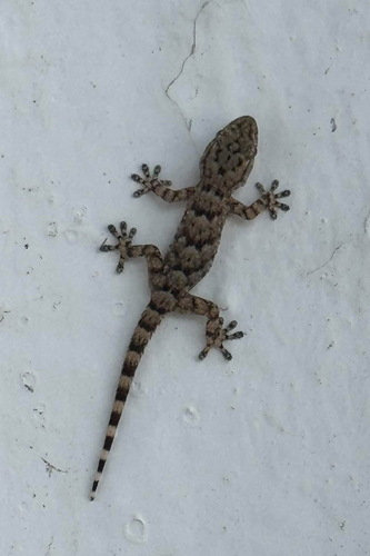
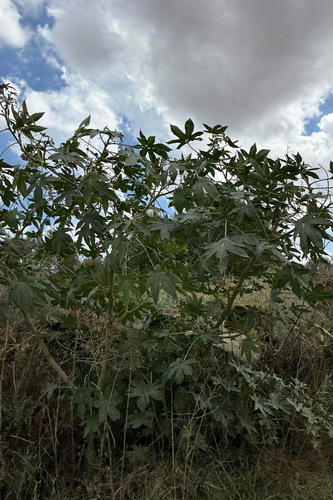
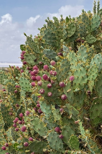
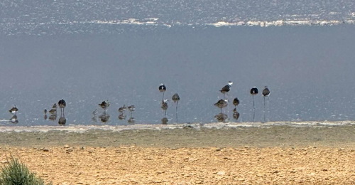
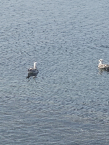
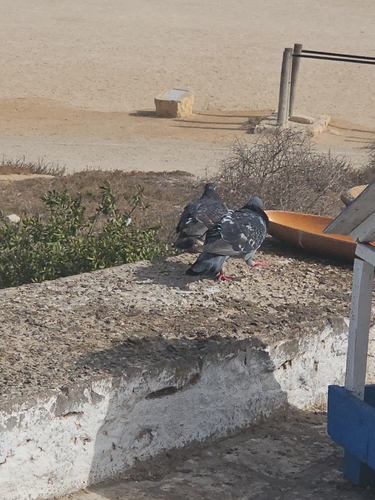
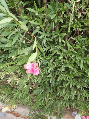
Research-grade observations from iNaturalist (within ~15 mi).
Events
Gallery
Sources
- • Wikipedia
- • Wikidata
- • iNaturalist
- • Open-Meteo / sunrise-sunset.org
- • Wikipedia Pageviews API