Browse / Tunisia / Tunis / La Marsa
La Marsa
Tunistown

La Marsa
Demographic figures from INS Tunisia. Overview below cites Wikipedia and may reference a different year.
City facts
Facts from Wikidata (CC0).
Overview
La Marsa is a coastal city located in the northeastern part of Tunisia, situated along the Mediterranean Sea. It is part of the Tunis Governorate and has a population of around 100,000 people. The city is known for its beaches, upscale residential areas, and lively atmosphere, with numerous restaurants, cafes, and shops. It is connected to Tunis by the TGM railway. Gammarth is adjacent to El Marsa further up the coast.
Read more on WikipediaHistory & geography
History
*Ancient Carthage was a Semitic civilization centered on the Phoenician city-state of Carthage, located in North Africa on the Gulf of Tunis, outside what is now Tunis, Tunisia. It was founded in 814 BC. Originally a dependency of the Phoenician state of Tyre, Carthage gained independence around 650 BC and established a hegemony over other Phoenician settlements throughout the Mediterranean, North Africa and what is now Spain which lasted until the end of the 3rd century BC. At the height of the city's prominence, its political influence extended over most of the western Mediterranean and it was one of the major trade hubs. *For much of its history, Carthage was in a constant state of struggle with the Greeks on Sicily and the Roman Republic, which led to a series of armed conflicts known as the Sicilian Wars and Punic Wars. They also had conflicts with the Berbers, the indigenous inhabitants of the entire area where Carthage was built. In 146 BC, after the third and final Punic War, Carthage was destroyed and then occupied by Roman forces. Nearly all of the other Phoenician city-states and former Carthaginian dependencies fell into Roman hands from then on. The Dar al-Taj Palace was a favourite residence of the Beys of Tunis, but was destroyed in the years after the Tunisian independence.
Excerpted from the corresponding Wikipedia article (CC BY-SA).
Geography
Coordinates & boundaries from the US Census TIGER/Line shapefiles.
Climate
Air quality
Walkability
Amenities nearby
Wildlife & biodiversity
Earthquake history
Photos
Sights & places nearby
Notable people from here


People born within ~10 km, from Wikidata (CC0). Click any name for their Wikipedia article.
Nearby places in Tunis
- Sidi Hassine14.2 mi away · pop. 109,690
- Donji Čaglić686.3 mi away · pop. 266
- Poljana686.4 mi away · pop. 547
- Gornji Čaglić686.5 mi away · pop. 19
- Lipik688 mi away · pop. 1,967
- Skenderovci688.1 mi away · pop. 4
- Marino Selo688.2 mi away · pop. 312
- Šeovica689.4 mi away · pop. 307
- Brekinska690.4 mi away · pop. 126
- Toranj690.6 mi away · pop. 75
- Batinjani690.6 mi away · pop. 44
- Novi Majur690.9 mi away · pop. 78
Geography & sun
Elevation, sunrise/sunset and daylight from Open-Meteo. Solar climatology from NASA POWER.
Nearby airports
Public attention
Pageview totals from the Wikimedia Pageviews API.
Books about La Marsa
Search results from Open Library.
Recent natural events nearby
Ground air-quality sensors
Recently spotted species
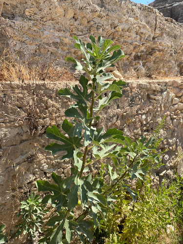
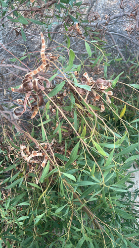
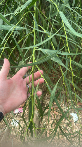
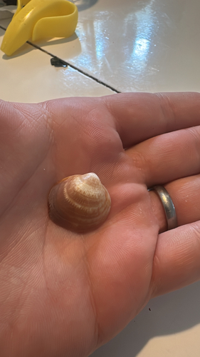
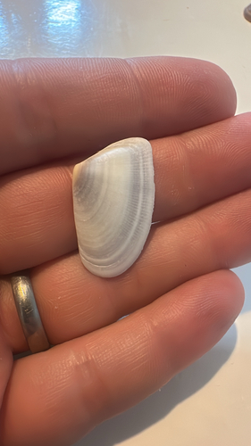
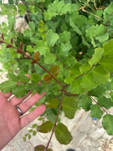
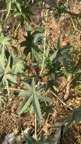
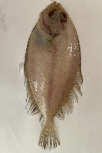
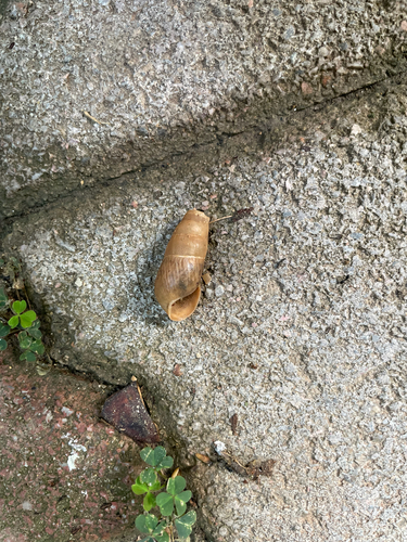
Research-grade observations from iNaturalist (within ~15 mi).
Events
Gallery
Sources
- • Wikipedia
- • Wikidata
- • iNaturalist
- • Open-Meteo / sunrise-sunset.org
- • Wikipedia Pageviews API
- • Open Library