Browse / United States / Tennessee / Monteagle
Monteagle
Tennesseetown

Monteagle
Total population
1,926
Median home value
$309,500
Bachelor's+
Median income
$63,438
Demographic figures from US Census Bureau · ACS 5-year estimates. Overview below cites Wikipedia and may reference a different year.
City facts
Facts from Wikidata (CC0).
Overview
Monteagle is a town in Franklin, Grundy, and Marion counties in the U.S. state of Tennessee, in the Cumberland Plateau region of the southeastern part of the state. The population was 1,238 at the 2000 census – 804 of the town's 1,238 residents (64.9%) lived in Grundy County, 428 (34.6%) in Marion County, and 6 (0.5%) in Franklin County. The population at the 2020 census was 1,393.
Read more on WikipediaHistory & geography
History
Monteagle has long served as a popular point to cross the Cumberland Plateau due to its location along a relatively narrow stretch of the plateau in southern Tennessee. One of the last groups of Cherokees removed from the Southeastern United States along the Trail of Tears passed through what is now Monteagle en route to Oklahoma in late October 1838. This group consisted of approximately 700 Cherokee led by John Bell and escorted by U.S. Army Lieutenant Edward Deas. The town of Monteagle was originally known as "Moffat Station" after John Moffat, a Scottish-Canadian temperance activist who purchased over of land in the area in 1870. In 1872, Moffat donated of land to Fairmount College, a women's college that had decided to relocate to the area from Jackson, Mississippi. The grounds of the school are now home to the DuBose Conference Center, named for one of the school's early pastors. In 1882, the Chautauqua-inspired Monteagle Sunday School Assembly was established to train Sunday school teachers. The name of Moffat Station was later changed to "Mount Eagle", and afterwards to "Mounteagle". The spelling had been changed to "Monteagle" by the time the town incorporated in 1962.
Geography
Monteagle is located in the southwest corner of Grundy County and the northwest corner of Marion County at (35.239941, -85.834372). The Marion-Grundy county line runs east-to-west through the center of town. The town limits extend west into Franklin County as well. The town straddles a narrow stretch of the Cumberland Plateau known colloquially as "Monteagle Mountain". This stretch of the plateau is approximately wide, with steep drop-offs to the northwest and southeast. Monteagle lies at an elevation of just under above sea level. Interstate 24 passes through the town just south and west of the town center, with access from Exits 134 and 135. I-24 leads northwest to Nashville and southeast to Chattanooga. U.S. Route 41 is Main Street through the town, leading east to Tracy City and northwest to Manchester. U.S. Route 41A branches off from US 41 in Monteagle and leads southwest to Sewanee. Winchester is to the west via US 41A. According to the United States Census Bureau, the town has a total area of , of which is land and , or 0.48%, is water. }}
Excerpted from the corresponding Wikipedia article (CC BY-SA).
Demographics & economy
Race & ethnicity
Source: US Census Bureau — American Community Survey, 5-year estimates.
Geography
Coordinates & boundaries from the US Census TIGER/Line shapefiles.
Climate
Current forecast
Forecast for Monteagle, TN from NOAA NWS API.
Air quality
Industrial & pollution facilities
Natural hazard risk
Health (adults)
Walkability
Amenities nearby
Wildlife & biodiversity
Schools
Earthquake history
Photos
Sights & places nearby
Notable people from here


People born within ~10 km, from Wikidata (CC0). Click any name for their Wikipedia article.
Nearby places in Tennessee
- Pelham6.9 mi away · pop. 704
- Cowan10.5 mi away · pop. 1,934
- Hillsboro13 mi away · pop. 555
- Altamont15.1 mi away · pop. 1,322
- Gruetli-Laager15.3 mi away
- Orme15.5 mi away · pop. 76
- South Pittsburg17.2 mi away
- Griffith Creek17.9 mi away
- New Hope19.3 mi away · pop. 862
- Belvidere20.5 mi away · pop. 82
- Powells Crossroads20.9 mi away · pop. 1,498
- Viola21.2 mi away · pop. 144
Geography & sun
Elevation, sunrise/sunset and daylight from Open-Meteo. Solar climatology from NASA POWER.
Nearby airports
Public attention
Pageview totals from the Wikimedia Pageviews API.
Books about Monteagle



Search results from Open Library.
Recent natural events nearby
Ground air-quality sensors
Recently spotted species


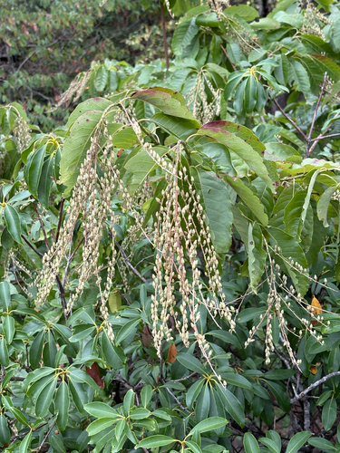
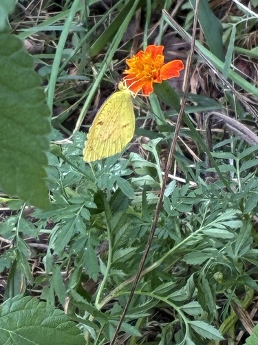


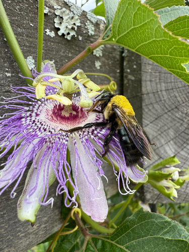
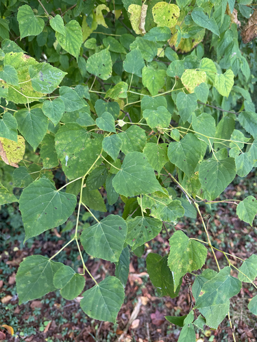
Research-grade observations from iNaturalist (within ~15 mi).
Nearest stream gauge
Events
Gallery
Sources
- • Wikipedia
- • US Census Bureau (ACS 5-year estimates)
- • NOAA National Weather Service
- • Wikidata
- • iNaturalist
- • Open-Meteo / sunrise-sunset.org
- • Wikipedia Pageviews API
- • Open Library