Browse / United States / Tennessee / Murfreesboro
Murfreesboro
Tennesseecity

Murfreesboro
Total population
168,382
Median home value
$456,700
Bachelor's+
Median income
$84,457
Founded
1811
Demographic figures from US Census Bureau · ACS 5-year estimates. Overview below cites Wikipedia and may reference a different year.
City facts
Facts from Wikidata (CC0).
Overview
Murfreesboro is a city in Rutherford County, Tennessee, United States, and its county seat. The population was 152,769 at the 2020 census. Located 34 miles (55 km) southeast of downtown Nashville, it is part of the Nashville metropolitan area in Middle Tennessee.
Read more on WikipediaHistory & geography
History
On October 27, 1811, the Tennessee General Assembly designated the location for a new county seat for Rutherford County, giving it the name Cannonsburgh in honor of Newton Cannon, representative to the assembly for the local area. At the suggestion of William Lytle, it was renamed Murfreesborough on November 29, 1811, after Revolutionary War hero Colonel Hardy Murfree, great-grandfather of author Mary Noailles Murfree. The name was shortened to Murfreesboro in January 1812, when the town was formally chartered. As Tennessee settlement expanded to the west, the location of the state capital in Knoxville became inconvenient for much of the population. In 1818, Murfreesboro was designated as the capital of Tennessee and its population boomed. Eight years later, however, it was superseded by Nashville. On December 31, 1862, the Battle of Stones River, also called the Battle of Murfreesboro, was fought near the city between the Union Army of the Cumberland and the Confederate Army of Tennessee. This was a major engagement of the American Civil War, and between December 31 and January 2, 1863, the rival armies suffered a combined total of 23,515 casualties. It was the bloodiest battle of the war by percentage of casualties. Following the Confederate retreat after the drawn Battle of Perryville in central Kentucky, the Confederate army moved through East Tennessee and turned northwest to defend Murfreesboro. General Braxton Bragg's veteran cavalry successfully harassed Union General William Rosecrans troop movements, capturing and destroying many of his supply trains, but they could not completely prevent supplies and reinforcements from reaching Rosecrans. Despite the large number of casualties, the battle was inconclusive. It is usually considered a Union victory, since…
Geography
According to the United States Census Bureau, the city has a total area of , of which , or 0.54%, is covered by water. As of 2013, however, the city reported its total area as . Murfreesboro is the geographic center of the state of Tennessee. A stone monument marks the official site on Old Lascassas Pike, about north of MTSU. The West Fork of the Stones River flows through Murfreesboro. A walking trail, the Greenway, parallels the river for several miles. A smaller waterway, Lytle Creek, flows through downtown, including historic Cannonsburgh Village. Parts of the creek suffer from pollution due to the urban environment and its use as a storm-water runoff. Murfreesboro is home to a number of natural and man-made lakes, plus several small wetlands, including Todd's Lake and the Murfree Spring wetland area. Murfreesboro has been in the path of destructive tornadoes several times. On April 10, 2009, a low-end EF4 tornado with estimated wind speeds up to struck the fringes of Murfreesboro. As a result, two people were killed and 41 others injured; 117 homes were totally destroyed, and 292 had major damage. The tornado is estimated to have caused over $40 million in damage. Being in the Sun Belt, Murfreesboro's climate is humid subtropical (Cfa) under the Köppen system, with mild winters and hot, humid summers. Under the Trewartha system, it is an oceanic (Do) climate due to five months of winter chill (having monthly means below ); however, Murfreesboro is close to being humid subtropical (Cf) even under Trewartha (March falls short of the threshold), supported by the fact that subtropical plants like southern magnolia trees and the occasional dwarf palmetto and needle palm shrubs can thrive long-term there but struggle much further north. The hardiness zone is…
Excerpted from the corresponding Wikipedia article (CC BY-SA).
Demographics & economy
Race & ethnicity
Source: US Census Bureau — American Community Survey, 5-year estimates.
Geography
Coordinates & boundaries from the US Census TIGER/Line shapefiles.
Climate
Air quality
Industrial & pollution facilities
Natural hazard risk
Health (adults)
Age-adjusted prevalence estimates from CDC PLACES (latest release).
Walkability
Amenities nearby
Wildlife & biodiversity
Most-observed species
- Northern CardinalCardinalis cardinalis (Linnaeus, 1758) · Aves10,901
- American RobinTurdus migratorius Linnaeus, 1766 · Aves9,376
- Blue JayCyanocitta cristata (Linnaeus, 1758) · Aves8,934
- Northern MockingbirdMimus polyglottos (Linnaeus, 1758) · Aves8,717
- Carolina WrenThryothorus ludovicianus (Latham, 1790) · Aves7,436
- Carolina ChickadeePoecile carolinensis (Audubon, 1834) · Aves7,270
- Mourning DoveZenaida macroura (Linnaeus, 1758) · Aves7,092
- House FinchHaemorhous mexicanus (P.L.Statius Müller, 1776) · Aves6,586
Citizen-science & research observations from the Global Biodiversity Information Facility (GBIF).
Schools
Earthquake history
Most recent
- M 2.52 — 2023-06-216 km SSE of Sewanee, Tennessee
- M 2.66 — 2022-08-136 km NW of Hazel Green, Alabama
- M 2.78 — 2020-05-107 km SSE of Sewanee, Tennessee
- M 3.13 — 2020-05-107 km SSE of Sewanee, Tennessee
- M 2.55 — 2019-06-014 km ESE of Manchester, Tennessee
- M 2.77 — 2019-01-165 km SSE of Wartrace, Tennessee
Events from the USGS Earthquake Catalog (global) (FDSN Event Web Service).
Photos
Sights & places nearby
Notable people from here


People born within ~10 km, from Wikidata (CC0). Click any name for their Wikipedia article.
Nearby places in Tennessee
- Smyrna10 mi away
- Norene17.2 mi away · pop. 137
- Bell Buckle18.6 mi away
- Statesville20.4 mi away · pop. 201
- Mount Juliet24.4 mi away · pop. 42,073
- Thompson's Station27.5 mi away · pop. 8,294
- Tuckers Crossroads28.2 mi away
- Belle Meade29.7 mi away · pop. 2,708
- Hickman33.5 mi away · pop. 276
- Smithville34.4 mi away
- Lewisburg34.7 mi away · pop. 12,861
- Gordonsville35.7 mi away · pop. 1,299
Geography & sun
Elevation, sunrise/sunset and daylight from Open-Meteo. Solar climatology from NASA POWER.
Nearby airports
Public attention
Pageview totals from the Wikimedia Pageviews API.
Books about Murfreesboro

Search results from Open Library.
Recent natural events nearby
- Hurricane IsaiasSevere Storms · 2026-10-11 · 176 mi
Wildfires, storms and other events from NASA EONET (last 12 months, within 250 mi).
Ground air-quality sensors
Recently spotted species
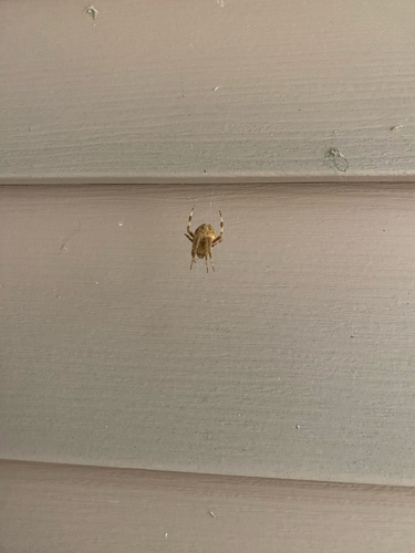
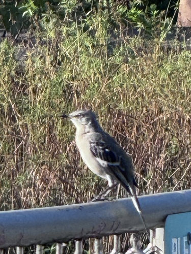
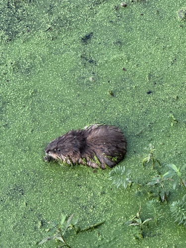
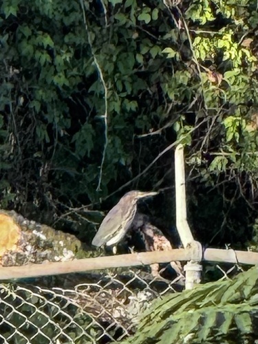
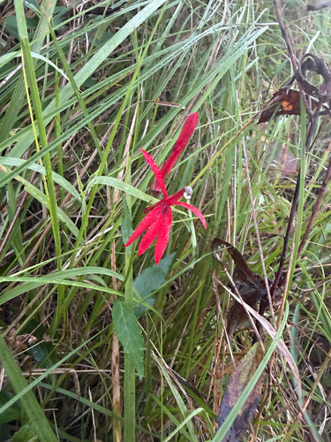
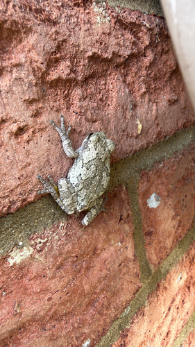
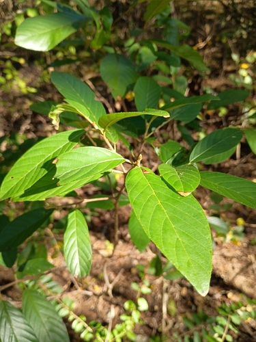

Research-grade observations from iNaturalist (within ~15 mi).
Nearest stream gauge
Events
Gallery
Sources
- • Wikipedia
- • US Census Bureau (ACS 5-year estimates)
- • Wikidata
- • USGS Earthquake Catalog (global feed)
- • GBIF (Global Biodiversity Information Facility)
- • iNaturalist
- • CDC PLACES
- • Open-Meteo / sunrise-sunset.org
- • Wikipedia Pageviews API
- • Open Library
- • NASA EONET