Browse / United States / Tennessee / Selmer
Selmer
Tennesseetown

Selmer
Total population
4,488
Median home value
$155,900
Bachelor's+
Median income
$51,591
Founded
1901
Demographic figures from US Census Bureau · ACS 5-year estimates. Overview below cites Wikipedia and may reference a different year.
City facts
Facts from Wikidata (CC0).
Overview
Selmer is a city in and the county seat of McNairy County, Tennessee, United States, in the southwestern part of the state. As of the 2020 census, the population of the city was 4,446.
Read more on WikipediaHistory & geography
History
The community is named after Selma, Alabama. It incorporated in 1901. Six young people were killed (two died at the scene of the accident, and four died later at hospitals), and 20 others were injured. Lawsuits filed against the city and event organizers asked for more than $US 85 million in damages. The City of Selmer approved a $500,000 settlement in September 2011. On March 4, 2008, the McNairy County grand jury returned an indictment against Critchley on six counts of vehicular homicide due to recklessness, a Class C felony, and 22 counts of reckless aggravated assault, a Class D felony. Neither Cars for Kids nor the City of Selmer were named in the indictment. Troy Critchley pleaded guilty to 28 charges of reckless assault and was sentenced to 18 months' probation. On July 1, 2020, heavy rainfall caused severe flooding throughout Selmer and McNairy County. The mayor of McNairy County, Larry Smith, declared a state of emergency after homes, businesses, and public infrastructure were flooded. More than 20 people were rescued from the floodwaters, approximately 50 buildings sustained damage, and McNairy County's E-911 Communication Center had to be evacuated. Due to the damage to the dispatch center, emergency calls were temporarily rerouted to Hardin County Tennessee's emergency communication center. Several residents were forced to evacuate their homes, and the American Red Cross provided temporary hotel accommodations for displaced families. On April 3, 2025, an EF3 tornado struck the city in the early hours, killing five people and injuring fourteen others. The city lost an estimated $27.6 million in property damage. The tornado touched down in Downtown and Oak Hill neighborhoods destroying multiple homes and buildings.
Geography
Selmer is located at (35.172333, -88.592964). According to the United States Census Bureau, the city has a total area of , all land. Downtown is a neighborhood in the heart of Selmer, often referred to as "the main drag of Selmer", this historic neighborhood is also the site of McNairy County Historical Museum, Selmer City Police Department, Selmer Civic Center, First Baptist Church, The Latta Theatre, and many more historic buildings, the Civic Center and the Latta Theatre and the police department are all operated by the city. Eastside is a neighborhood in East Selmer, this neighborhood is the site of Eastside Church Of Christ and McNairy Central High School. the church is operated by the city, but the school is operated by McNairy County School Board. Eaglewood is a neighborhood in Northeast Selmer, it is the site of Chip-A-Roos and Eaglewood III Estates, the recreational facility and the apartment complex are operated by the city. Falcon is a neighborhood in South Selmer, this neighborhood is the site of the Falcon Church, Falcon Cemetery, City of Selmer Fire Department, Owl Creek Lumber, Phillips 66, and McNairy County Sheriff's Office, the church, the cemetery, the fire department, Owl Creek Lumber, Phillips 66, and the sheriff's office are all operated by the city. Lakeview is a neighborhood in West Selmer, this neighborhood is the site of Lakeview Church, First United Methodist Church, and Selmer Golf & Country Club, both churches and the country club are operated by the city. Oak Hill is a neighborhood in North Selmer, the majority African-American neighborhood is the site of Oak Hill Cemetery, North Selmer Fire Station, Selmer Second Baptist Church, and Monogram Refrigeration LLC, Monogram and Oak Hill Cemetery and the fire department are all operated…
Excerpted from the corresponding Wikipedia article (CC BY-SA).
Demographics & economy
Race & ethnicity
Source: US Census Bureau — American Community Survey, 5-year estimates.
Geography
Coordinates & boundaries from the US Census TIGER/Line shapefiles.
Climate
Air quality
Industrial & pollution facilities
Natural hazard risk
Health (adults)
Walkability
Amenities nearby
Wildlife & biodiversity
Most-observed species
- Northern CardinalCardinalis cardinalis (Linnaeus, 1758) · Aves206
- Tufted TitmouseBaeolophus bicolor (Linnaeus, 1766) · Aves161
- Mourning DoveZenaida macroura (Linnaeus, 1758) · Aves155
- Carolina ChickadeePoecile carolinensis (Audubon, 1834) · Aves142
- Carolina WrenThryothorus ludovicianus (Latham, 1790) · Aves130
- American CrowCorvus brachyrhynchos C.L.Brehm, 1822 · Aves126
- Turkey VultureCathartes aura (Linnaeus, 1758) · Aves125
- Northern MockingbirdMimus polyglottos (Linnaeus, 1758) · Aves120
Citizen-science & research observations from the Global Biodiversity Information Facility (GBIF).
Schools
Earthquake history
Most recent
- M 2.52 — 2022-12-245 km ENE of Booneville, Mississippi
- M 2.79 — 2018-07-060 km WSW of Muscle Shoals, Alabama
- M 3.1 — 2008-05-101 km SSE of Sherman, Mississippi
- M 2.7 — 2006-03-1117 km E of Olivet, Tennessee
- M 2.7 — 2003-12-1112 km ESE of Olivet, Tennessee
- M 2.5 — 2002-04-223 km NW of Trenton, Tennessee
Events from the USGS Earthquake Catalog (global) (FDSN Event Web Service).
Photos
Sights & places nearby
Notable people from here


People born within ~10 km, from Wikidata (CC0). Click any name for their Wikipedia article.
Nearby places in Tennessee
- Stantonville9.4 mi away
- Chewalla10.7 mi away
- Michie12.2 mi away · pop. 558
- Shiloh13.7 mi away · pop. 130
- Essary Springs16.1 mi away · pop. 154
- Enville17.8 mi away · pop. 163
- Nixon19.4 mi away · pop. 294
- Savannah20.6 mi away · pop. 7,412
- Jacks Creek21.1 mi away
- Olivet22.8 mi away
- Pinson22.8 mi away · pop. 565
- Toone24 mi away · pop. 289
Geography & sun
Elevation, sunrise/sunset and daylight from Open-Meteo. Solar climatology from NASA POWER.
Nearby airports
Public attention
Pageview totals from the Wikimedia Pageviews API.
Books about this place
Recent natural events nearby
Ground air-quality sensors
Recently spotted species

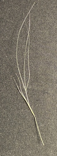
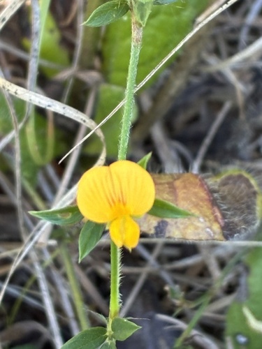
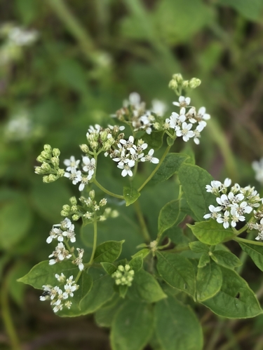
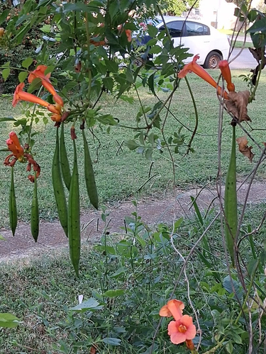
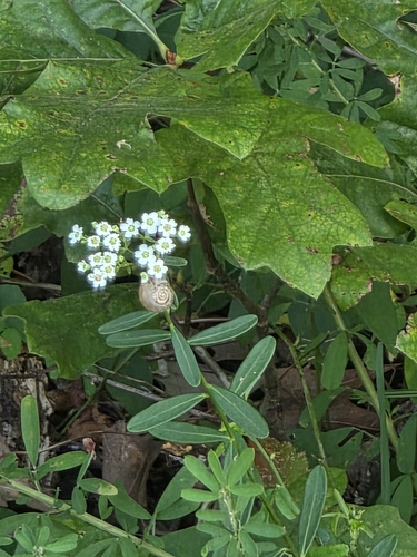
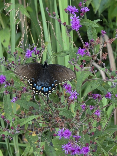
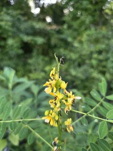
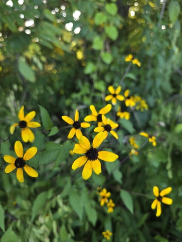
Research-grade observations from iNaturalist (within ~15 mi).
Nearest stream gauge
Events
Gallery
Sources
- • Wikipedia
- • US Census Bureau (ACS 5-year estimates)
- • Wikidata
- • USGS Earthquake Catalog (global feed)
- • GBIF (Global Biodiversity Information Facility)
- • iNaturalist
- • Open-Meteo / sunrise-sunset.org
- • Wikipedia Pageviews API