Browse / Tunisia / Jendouba / Sidi-Meskin
Sidi-Meskin
Jendoubavillage
Demographic figures from INS Tunisia. Overview below cites Wikipedia and may reference a different year.
City facts
Overview
Sidi-Meskin, anciently known as Thunusuda, is a railway town and archaeological site in the Gouvernorat of Jendouba, Northern Tunisia. It is located in the Medjerda valley at 36.45N, 8.66E, outside of Bou Salem, and is near to Djendouba, Mechtat el Anad, and Djebel Bou Rbah. The town is located at an elevation of 430 meters above sea level, and has a mosque and railroad station.
Read more on WikipediaHistory & geography
History
Historically, this region was important and wealthy. The historical importance becomes clear with the nearby great Roman cities of Bulla Regia and Chemtou. The Medjerda valley became Roman after the Third Punic War about 146BC and it quickly became an important region for agriculture, with the rolling plains home to numerous Imperial estates. The town is mentioned, like many other nearby settlements, in the Saltus Burunitanus document of Commodus. The Valley fell to the Vandal Kingdom around 423 and for a century was ruled by the Arian kings until in 533 the Orthodox Byzantines replaced them. The area was held by Byzantium until the Muslim conquest of the Maghreb at the end of the 7th century. During the Roman Empire, under the name of Thunusuda the town was part of Roman North Africa, Africa Proconsularis. It was on the Medjerda river between Simitthu and Bulla Regia, and like them both was the seat of an ancient bishopric, which survives today as a titular see of the Roman Catholic Church.
Excerpted from the corresponding Wikipedia article (CC BY-SA).
Geography
Coordinates & boundaries from the US Census TIGER/Line shapefiles.
Climate
Air quality
Walkability
Amenities nearby
Wildlife & biodiversity
Most-observed species
- Ocellated Bronze SkinkChalcides ocellatus (Forskal, 1775) · Squamata9
- White StorkCiconia ciconia (Linnaeus, 1758) · Aves6
- Spotless StarlingSturnus unicolor Temminck, 1820 · Aves4
- Eurasian BlackbirdTurdus merula Linnaeus, 1758 · Aves4
- Lotus JujubeZiziphus lotus (L.) Lam. · Magnoliopsida4
- Variable miridCalocoris nemoralis (Fabricius, 1787) · Insecta4
- Large-flowered Golden ThistleScolymus grandiflorus Desf. · Magnoliopsida4
- Moorish GeckoTarentola mauritanica (Linnaeus, 1758) · Squamata3
Citizen-science & research observations from the Global Biodiversity Information Facility (GBIF).
Earthquake history
Most recent
- M 4.4 — 2026-01-054 km NNE of Tabursuq, Tunisia
- M 4.3 — 2024-11-2814 km WNW of Bou Arada, Tunisia
- M 4.2 — 2012-01-0925 km ENE of Souk Ahras, Algeria
- M 4.2 — 2008-04-1511 km SW of Tabarka, Tunisia
- M 3.2 — 2005-12-0920 km NNW of Béja, Tunisia
- M 4.1 — 2004-07-0210 km E of El Tarf, Algeria
Events from the USGS Earthquake Catalog (global) (FDSN Event Web Service).
Photos
Sights & places nearby
Notable people from here
People born within ~10 km, from Wikidata (CC0). Click any name for their Wikipedia article.
Nearby places in Jendouba
- Souk Jomaa9.4 mi away
- Ghardimaou12 mi away · pop. 68,000
- Bani Matir20.3 mi away
- Jaballah31.2 mi away
- Sidi Slimane431.1 mi away
- Sidi Taifour436.9 mi away
- Boualem444.4 mi away · pop. 7,578
- Sidi Ameur448.4 mi away · pop. 3,634
- ليغن ⵍⵍⵉⵖⴻⵏ450.6 mi away
- بوغرارة ⴱⵓⵖⵔⴰⵔⴰ451.4 mi away
- سيدي احمد بلعباس ⵙⵉⴷⵉ ⵃⵎⴻⴷ ⴱⴻⵍⵄⴻⴱⴰⵙ453.3 mi away
- شعبة سليماني ⵛⴻⵄⴱⴻⵜ ⵙⵍⵉⵎⴰⵏⵉ455.4 mi away
Geography & sun
Elevation, sunrise/sunset and daylight from Open-Meteo. Solar climatology from NASA POWER.
Nearby airports
Public attention
Pageview totals from the Wikimedia Pageviews API.
Books about this place
Recent natural events nearby
Ground air-quality sensors
Recently spotted species
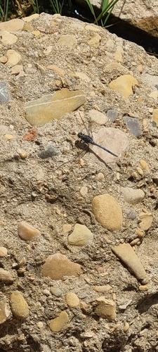
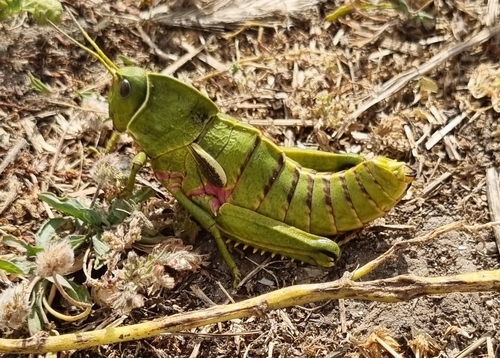
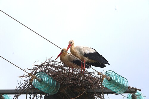
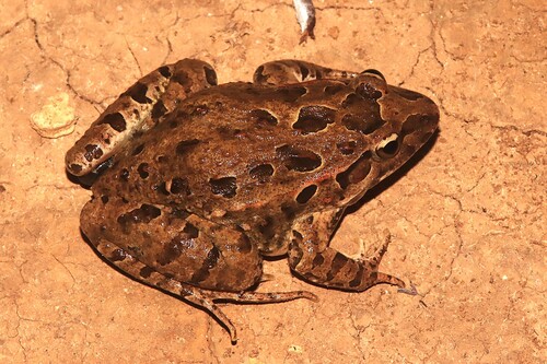
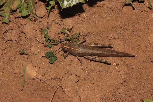
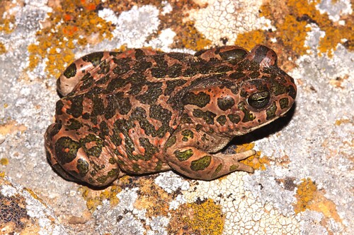
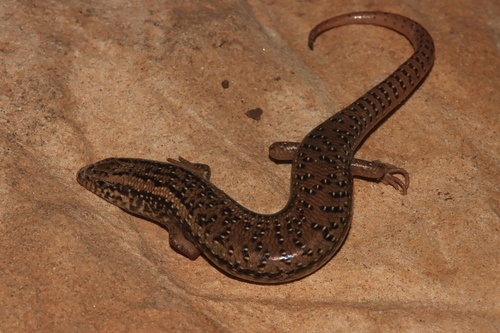
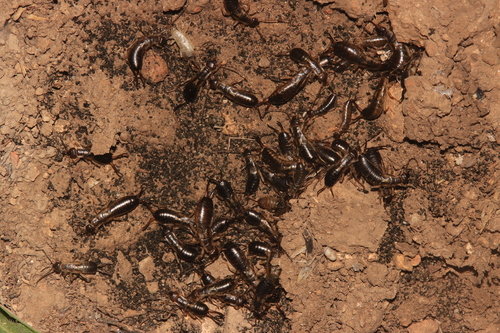
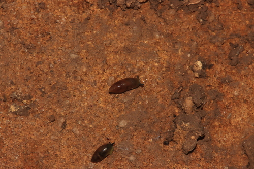
Research-grade observations from iNaturalist (within ~15 mi).
Events
Gallery
Sources
- • Wikipedia
- • Wikidata
- • USGS Earthquake Catalog (global feed)
- • GBIF (Global Biodiversity Information Facility)
- • iNaturalist
- • Open-Meteo / sunrise-sunset.org
- • Wikipedia Pageviews API