Browse / United States / Tennessee / Tazewell
Tazewell
Tennesseetown

Tazewell
Total population
2,902
Median home value
$196,800
Bachelor's+
Median income
$41,836
Demographic figures from US Census Bureau · ACS 5-year estimates. Overview below cites Wikipedia and may reference a different year.
City facts
Facts from Wikidata (CC0).
Overview
Tazewell is a town in and the county seat of Claiborne County, Tennessee, United States. The population was 2,165 at the 2000 census, 2,218 at the 2010 census, and 2,348 at the 2020 census. The town is named for Tazewell, Virginia, which itself was named for Henry Tazewell (1753–1799), a U.S. senator from Virginia.
Read more on WikipediaHistory & geography
History
In 1750, Dr. Thomas Walker of Virginia publicized the location of Cumberland Gap, which brought a stream of long hunters down the Clinch and Powell valleys into what is now Claiborne County. The land at the time was part of Cherokee and Shawnee hunting grounds, and hostile attacks by members of these two tribes were not uncommon. To protect themselves, hunters, fur traders and early settlers erected a series of small forts and stations along the Powell and Clinch valleys. One such station, known as Fort Butler, was located just west of modern Tazewell. Among the earliest settlers in the Tazewell area was John Hunt (1750–1822), a militia captain who would later be instrumental in the founding of Huntsville, Alabama. In 1804, three years after the creation of Claiborne County, Tazewell was chosen as the county seat due in part to Hunt's influence (although a local legend states that the residents of Tazewell's rival for the seat, Springdale, were too intoxicated to vote on the day of selection). Hunt was named the county's first sheriff, and the government met at his house until a courthouse was constructed. The original courthouse was a wooden structure which had hitching posts for horses in front. In 1862, at the height of the Civil War, Confederate troops occupied Tazewell as part of the greater struggle for the strategic Cumberland Gap. When the Confederates evacuated the town in November of that year, a fire followed, destroying much of Tazewell. The town retains a number of historical structures, mostly from the Victorian era, including a historic jail, built in 1819. In 1890, plans developed for a railroad through the town, connecting nearby Cumberland Gap to Knoxville Residents protested the construction of a train depot, which led to the re-routing of the…
Geography
Tazewell is located at (36.454408, -83.571074). The town is situated on the northern slope of Wallen Ridge, the northernmost of a series of long, narrow ridges that comprise the Ridge and Valley Province of the Appalachian Mountains. Big Barren Creek rises in the western section of Tazewell and flows southwestward for approximately before emptying into the Norris Lake impoundment of the Clinch River. The streams in the eastern section of Tazewell are part of the watershed of the Powell River, a Clinch tributary that flows westward a few miles north of Tazewell. Tazewell is centered just east of the junction of , which connects the town to Morristown to the southeast and Middlesboro, Kentucky to the north, and , which connects the town to Maynardville to the southwest and Sneedville and the upper Clinch Valley to the northeast. According to the United States Census Bureau, the town has a total area of , all land.
Excerpted from the corresponding Wikipedia article (CC BY-SA).
Demographics & economy
Race & ethnicity
Source: US Census Bureau — American Community Survey, 5-year estimates.
Geography
Coordinates & boundaries from the US Census TIGER/Line shapefiles.
Climate
Current forecast
Forecast for Tazewell, TN from NOAA NWS API.
Air quality
Industrial & pollution facilities
Natural hazard risk
Health (adults)
Age-adjusted prevalence estimates from CDC PLACES (latest release).
Walkability
Amenities nearby
Wildlife & biodiversity
Schools
Largest nearby schools
- Claiborne High SchoolHigh · New Tazewell · 675 students · 15:1 ratio
- Tazewell-New Tazewell ElementaryElementary · New Tazewell · 504 students · 15.8:1 ratio
- Cumberland Gap High SchoolHigh · Cumberland Gap · 480 students · 11.7:1 ratio
- Midway ElementaryElementary · New Tazewell · 402 students · 19.1:1 ratio
- Soldiers Memorial Middle SchoolMiddle · Tazewell · 363 students · 14:1 ratio
- Springdale ElementaryElementary · Tazewell · 363 students · 15.1:1 ratio
- Ellen Myers PrimaryElementary · Harrogate · 331 students · 16.6:1 ratio
- H. Y. Livesay Middle SchoolMiddle · Harrogate · 262 students · 18.7:1 ratio
Public K–12 schools within ~10 mi from Urban Institute Education Data Portal (NCES Common Core of Data, 2022).
Earthquake history
Photos
Sights & places nearby
Notable people from here
Geography & sun
Elevation, sunrise/sunset and daylight from Open-Meteo. Solar climatology from NASA POWER.
Nearby airports
Public attention
Pageview totals from the Wikimedia Pageviews API.
Books about Tazewell
Search results from Open Library.
Recent natural events nearby
Ground air-quality sensors
Recently spotted species
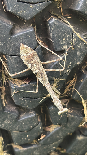
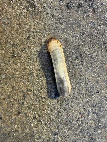
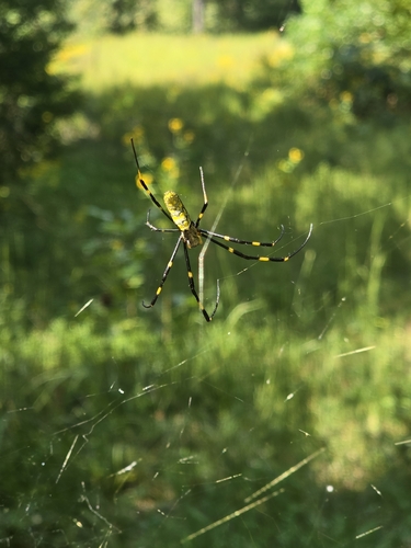
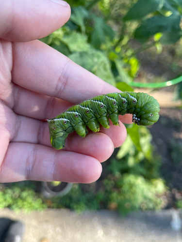
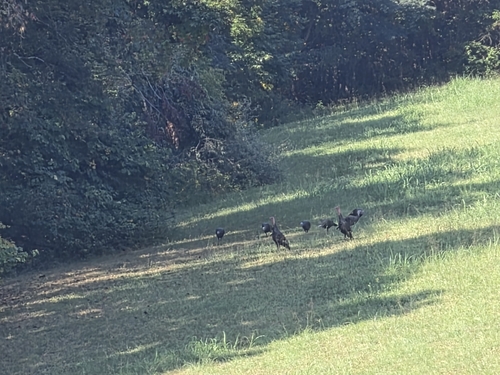
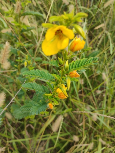
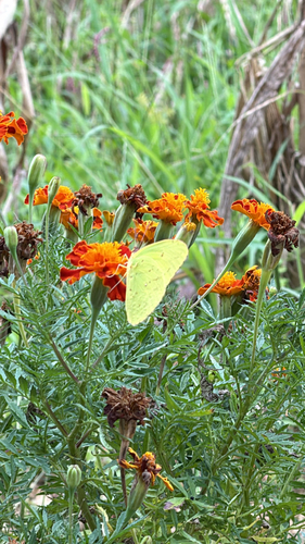
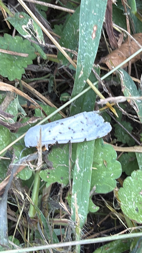
Research-grade observations from iNaturalist (within ~15 mi).
Nearest stream gauge
Events
Gallery
Sources
- • Wikipedia
- • US Census Bureau (ACS 5-year estimates)
- • NOAA National Weather Service
- • Wikidata
- • NCES via Urban Institute Education Data Portal
- • iNaturalist
- • CDC PLACES
- • Open-Meteo / sunrise-sunset.org
- • Wikipedia Pageviews API
- • Open Library