Browse / Tunisia / Tunis / Tunis
Tunis
Tuniscity

Tunis
Total population
728,453
Demographic figures from INS Tunisia. Overview below cites Wikipedia and may reference a different year.
City facts
Sister cities
Facts from Wikidata (CC0).
Overview
Tunis is the capital and largest city of Tunisia. The greater metropolitan area of Tunis, often referred to as "Grand Tunis", has about 2,700,000 inhabitants. As of 2020, it was the third-largest city in the Maghreb region and the fifteenth-largest in the Arab world.
Read more on WikipediaHistory & geography
History
The historical study of Carthage is difficult. Because its culture and records were destroyed by the Romans at the end of the Third Punic War, very few Carthaginian primary historical sources survive. While there are a few ancient translations of Punic texts into Greek and Latin, as well as inscriptions on monuments and buildings discovered in Northwest Africa, the main sources are Greek and Roman historians, including Livy, Polybius, Appian, Cornelius Nepos, Silius Italicus, Plutarch, Dio Cassius, and Herodotus. These writers belonged to peoples in competition, and often in conflict, with Carthage. Greek cities contended with Carthage over Sicily, and the Romans fought three wars against Carthage. Not surprisingly, their accounts of Carthage are extremely hostile; while there were a few Greek authors who took a favourable view, these works have been lost. The existence of settlements in and around the area of Tunis is attested by sources dating from the 4th century BC. Situated on a hill, its location served as an excellent point from which the comings and goings of naval and caravan traffic to and from Carthage could be observed. It was one of the first towns in the region to fall under Carthaginian control, and in the centuries that followed the settlement was mentioned in the military histories associated with Carthage. Thus, during Agathocles' expedition, which landed at Cape Bon in 310 BC, the town changed hands on various occasions. During the Mercenary War, it is possible that the town served as a center for the native population of the area, under the rule of Augustus and became an important town under Roman control and the center of a booming agricultural industry. The township is mentioned as Thuni in the Tabula Peutingeriana. In the late 7th century, the…
Geography
Tunis is located in north-eastern Tunisia on the Lake of Tunis, and is connected to the Mediterranean sea's Gulf of Tunis by a canal which terminates at the port of La Goulette/Halq al Wadi. The ancient city of Carthage is located just north of Tunis along the coastal part. The city is further South than Sicily, on a similar latitude to Cádiz, an ancient city in Southern Spain with ties to the Phoenician and Carthaginian civilizations. The city of Tunis is built on a hill slope down to the lake of Tunis. These hills contain places such as Notre-Dame de Tunis, Ras Tabia, La Rabta, La Kasbah, Montfleury, and La Manoubia with altitudes just above . The city is located at the crossroads of a narrow strip of land between Lake Tunis and Séjoumi. The isthmus between them is what geologists call the "Tunis dome", which includes hills of limestone and sediments. It forms a natural bridge and since ancient times several major roads linking to Egypt and elsewhere in Tunisia have branched out from it. The roads also connect with Carthage, emphasizing its political and economic importance not only in Tunisia but more widely in North Africa and the Mediterranean Sea in ancient times. The Greater Tunis area has an area of , 10% of which are urbanized, the rest being shared between bodies of water ( of lakes or lagoons) and agricultural or natural land (). However, urban growth, which is estimated to be increasing by 500 hectares per year, is gradually changing the landscape with urban sprawl. {| class="wikitable" style="float:right; font-size:smaller;" |- ! Municipality !! Population (2004) |- | Ettadhamen-Mnihla | |- | Ariana | |- | La Soukra | |- | El Mourouj | |- | La Marsa | |- | Douar Hicher | |- | Ben Arous | |- | Mohamedia-Fouchana | |- | Le Bardo | |- | Le Kram |…
Excerpted from the corresponding Wikipedia article (CC BY-SA).
Geography
Coordinates & boundaries from the US Census TIGER/Line shapefiles.
Climate
Air quality
Walkability
Amenities nearby
Wildlife & biodiversity
Earthquake history
Photos
Sights & places nearby
Notable people from here
Nearby places in Tunis
- Sidi Hassine4.6 mi away · pop. 109,690
- Poljana694.9 mi away · pop. 547
- Donji Čaglić694.9 mi away · pop. 266
- Gornji Čaglić695.1 mi away · pop. 19
- Lipik696.6 mi away · pop. 1,967
- Marino Selo696.7 mi away · pop. 312
- Skenderovci696.7 mi away · pop. 4
- Šeovica698 mi away · pop. 307
- Brekinska698.9 mi away · pop. 126
- Toranj699.2 mi away · pop. 75
- Batinjani699.2 mi away · pop. 44
- Mali Banovac699.5 mi away · pop. 17
Geography & sun
Elevation, sunrise/sunset and daylight from Open-Meteo. Solar climatology from NASA POWER.
Nearby airports
Public attention
Pageview totals from the Wikimedia Pageviews API.
Books about Tunis


Search results from Open Library.
Recent natural events nearby
Ground air-quality sensors
Recently spotted species
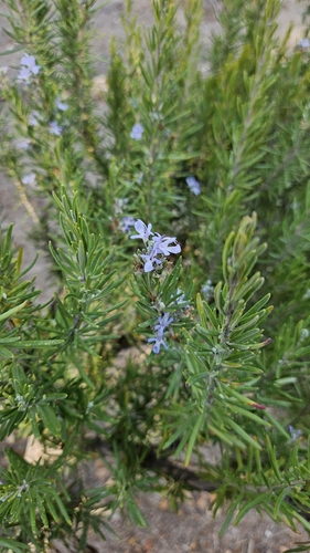
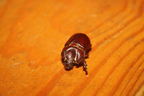
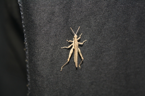


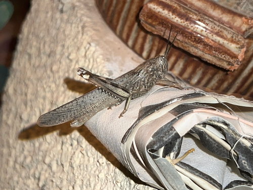

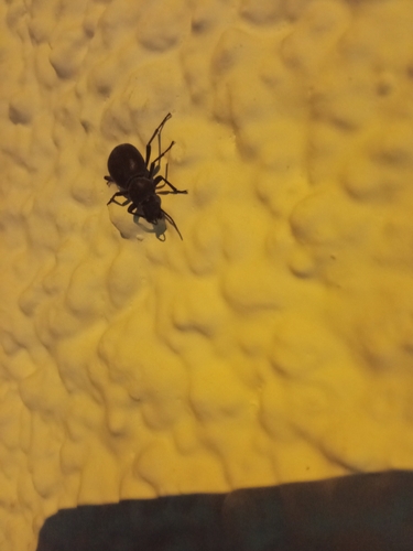
Research-grade observations from iNaturalist (within ~15 mi).
Events
Notable, recurring, and historical events associated with Tunis, sourced from Wikidata.
- Jan 1, 2026
- Jul 14, 2022
- AraPedia 2020Mar 19, 2020planned event
international project that aims to digitize the historical riches of the Arab countries
- Q56304237Mar 10, 2018demonstration
- Q3285886Jan 1, 1885demonstration
Source: Wikidata (CC0).
Gallery
Sources
- • Wikipedia
- • Wikidata
- • iNaturalist
- • Open-Meteo / sunrise-sunset.org
- • Wikipedia Pageviews API
- • Open Library