Browse / Türkiye / Manisa / Akhisar
Akhisar
Manisatown

Akhisar
Total population
177,419
Air quality index
Demographic figures from TurkStat. Overview below cites Wikipedia and may reference a different year.
City facts
Sister cities
Facts from Wikidata (CC0).
Overview
Akhisar is a municipality and district of Manisa Province, Turkey. Its area is 1,645 km2, and its population is 177,419 (2022). It is the site of the ancient city of Thyatira.
Read more on WikipediaHistory & geography
History
The town was the most important center in ancient North Lydia. Findings suggest a possible earlier period of pre-eminence under the Hittites. Persian occupation of the region took place around 500 BC. Thyateira was later conquered by Alexander the Great. In later years, Thyateira was captured successively by the Seleucid Empire, the Attalid dynasty of Pergamon, and by Mithridates VI of Pontus, until the Roman Era that started in 80 BC. In 214 AD, the Roman Emperor Caracalla promoted the town to the status of a regional and administrative center with powers of adjudication (conventus). The city flourished considerably under the Romans and became a large metropolis with 3 gymnasiums. As of the 2nd century AD, Christianity spread in western Anatolia by the actions of apostles like John the Evangelist and Paul. Thyatira is mentioned twice in the New Testament. The Book of Acts refers to a woman of Thyatira named Lydia (Acts 16:14), though the Apostle Paul converted her to Christ in Philippi of Macedonia, not Thyatira. The other occurrence is as one of the Seven Churches of Asia, in the church of which was a woman identified as a prophetess and called "Jezebel" for deceiving some of the Christians there into compromising with idolatry and committing sexual immorality (Revelation 2:18-29). After the partition of the Roman Empire in 395 and the upcoming of Islam at the beginning of the 7th century, raids by Arabs resulted in great loss of land for Byzantium and the region of Thyatira witnessed many battles between Byzantine and Arab forces. Thyatira was repeatedly attacked by the Arabs and later by the Turks, however it was rebuilt over the ruins. In the 12th century, a large-scale inflow of Turkish tribes started. Thyatira swayed back and forth between Byzantine and…
Excerpted from the corresponding Wikipedia article (CC BY-SA).
Geography
Coordinates & boundaries from the US Census TIGER/Line shapefiles.
Climate
10-year averages from ERA5 reanalysis (Open-Meteo).
Air quality
Current readings from Open-Meteo Air Quality API (Copernicus CAMS European reanalysis).
Walkability
Amenities nearby
Wildlife & biodiversity
Most-observed species
- Eurasian Collared-DoveStreptopelia decaocto (Frivaldszky, 1838) · Aves81
- Eurasian BlackbirdTurdus merula Linnaeus, 1758 · Aves79
- House SparrowPasser domesticus (Linnaeus, 1758) · Aves78
- Great TitParus major Linnaeus, 1758 · Aves68
- Eurasian MagpiePica pica (Linnaeus, 1758) · Aves66
- Syrian WoodpeckerDendrocopos syriacus (Hemprich & Ehrenberg, 1833) · Aves54
- Eurasian JayGarrulus glandarius (Linnaeus, 1758) · Aves48
- Common ChaffinchFringilla coelebs Linnaeus, 1758 · Aves47
Citizen-science & research observations from the Global Biodiversity Information Facility (GBIF).
Earthquake history
Photos
Sights & places nearby
Notable people from here


People born within ~10 km, from Wikidata (CC0). Click any name for their Wikipedia article.
Nearby places in Manisa
- Monticelli902.9 mi away · pop. 842
- San Giovanni904.5 mi away · pop. 898
- Crocetta914.6 mi away · pop. 166
- San Nicolò919.5 mi away · pop. 646
- San Martino in Soverzano926 mi away
- San Giovanni in Triario926.4 mi away
- Monte San Giovanni938.2 mi away · pop. 1,382
- San Pietro in Elda951.7 mi away
- Selva955.4 mi away
- Motta955.8 mi away
- San Martino960.4 mi away
- Morano960.8 mi away
Geography & sun
Elevation, sunrise/sunset and daylight from Open-Meteo. Solar climatology from NASA POWER.
Nearby airports
Public attention
Pageview totals from the Wikimedia Pageviews API.
Books about Akhisar
Search results from Open Library.
Recent natural events nearby
Ground air-quality sensors
Recently spotted species
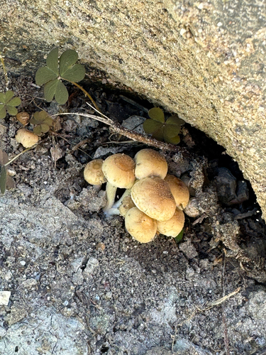
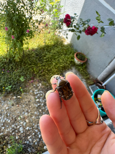
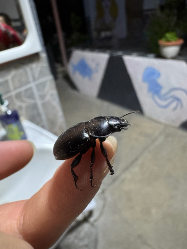
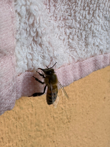
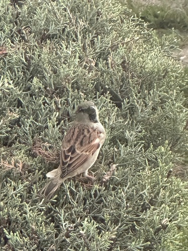
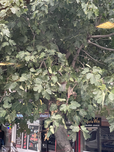
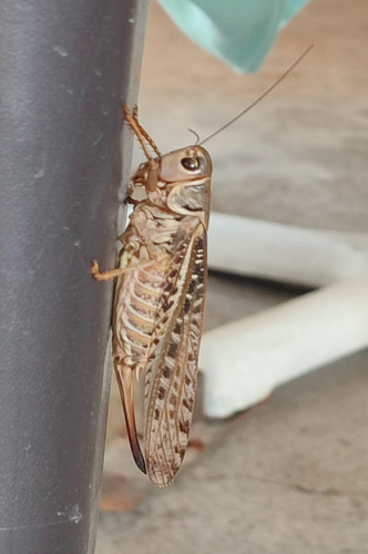
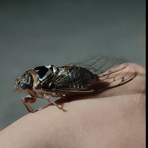
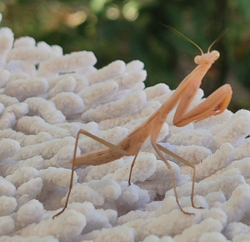
Research-grade observations from iNaturalist (within ~15 mi).
Events
Notable, recurring, and historical events associated with Akhisar, sourced from Wikidata.
Source: Wikidata (CC0).
Gallery
Geotagged photos within ~6 miles of Akhisar, from Wikimedia Commons contributors.
 0 mi
0 mi 0 mi
0 mi 0 mi
0 mi 0 mi
0 mi 0 mi
0 mi 0.1 mi
 0.1 mi
 0.1 mi
 0.1 mi
 0.1 mi
 0.1 mi
 0.1 mi
 0.1 mi
 0.1 mi
 0.1 mi
 0.1 mi
 0.1 mi
 0.1 mi
 0.1 mi
 0.1 mi
 0.1 mi
 0.1 mi
 0.1 mi
 0.1 mi
Photos via Wikimedia Commons — see each image page for license & attribution.
Sources
- • Wikipedia
- • Open-Meteo (ERA5 reanalysis)
- • Wikimedia Commons
- • Wikidata
- • Open-Meteo Air Quality (CAMS)
- • GBIF (Global Biodiversity Information Facility)
- • iNaturalist
- • Open-Meteo / sunrise-sunset.org
- • Wikipedia Pageviews API
- • Open Library
- • Wikidata SPARQL (CC0) — population, area, elevation, inception, head of government, Commons image