Browse / Türkiye / Balıkesir / Altıeylül
Altıeylül
Balıkesirtown

Featured view
Altıeylül
Total population
185,038
Elevation145 m
Coordinates39.64°, 27.88°
Demographic figures from TurkStat. Overview below cites Wikipedia and may reference a different year.
Loading additional data from public sources…0 / 11
CensusWikipediaWeatherPlacesPeopleEnvironmentHealth & SchoolsRelatedGeography & CultureLive MonitoringEvents & Gallery
0% completeCity facts
Overview
Altıeylül is a municipality and district of Balıkesir Province, Turkey. Its area is 956 km2, and its population is 183,736 (2022).
Read more on WikipediaHistory & geography
Geography
Latitude
39.6446
Longitude
27.8834
Water area
—
Coordinates & boundaries from the US Census TIGER/Line shapefiles.
Climate
Air quality
Walkability
Amenities nearby
Wildlife & biodiversity
Earthquake history
Photos
Sights & places nearby
Notable people from here

Mahmut Orhan
Turkish disc jockey and record producer (born 1993)
O
Oğuzhan Çapar
Turkish association football player (born 1996)
F
Furkan Çil
Turkish association football player (born 1993)
K
Kağan Kayalı
Turkish association football player (born 1999)
O
Oktay Güngör
Turkish freestyle wrestler
A
Ali Serçek
Turkish association football player (born 2000)
M
Mert Ali Atakulu
Turkish association football player (born 2006)
F
Fuat Seyrekoğlu
Turkish association football player (born 1949)

Fuat Sunay
Turkish musician (born 1987)
M
Merve Şahinsoy
Turkish particle physicist
A
Ali Yağcı
Turkish actor and fashion model (born 1990)
S
Sinan Ateş
Turkish historian and statesperson (1984–2022)
B
Bilge Yılmaz
Turkish economist (born 1968)

Neptün Soyer
Turkish social reformer (born 1966)
O
Orhan Erinç
Turkish journalist (1936–2023)
Ö
Ömer Kaçar
Turkish playwright (born 1990)
People born within ~10 km, from Wikidata (CC0). Click any name for their Wikipedia article.
Nearby places in Balıkesir
Geography & sun
Elevation
476 ft (145 m)
Avg solar (kWh/m²/day)
4.47
Annual solar (kWh/m²)
1,633
Elevation, sunrise/sunset and daylight from Open-Meteo. Solar climatology from NASA POWER.
Nearby airports
Public attention
Wikipedia views (last 30 days)
139
Avg daily Wikipedia views
5
Attention level
Obscure
Pageview totals from the Wikimedia Pageviews API.
Books about this place
Recent natural events nearby
Ground air-quality sensors
Recently spotted species
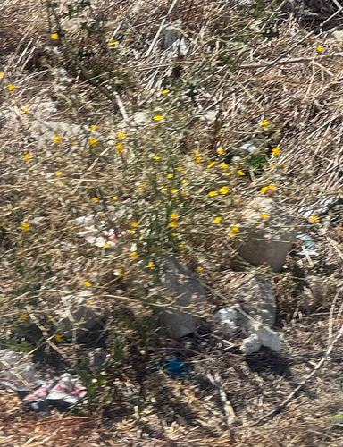
Yellow Star-Thistle
Centaurea solstitialis
Seen 2026-09-02
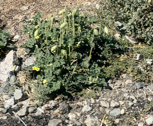
squirting cucumber
Ecballium elaterium
Seen 2026-09-02
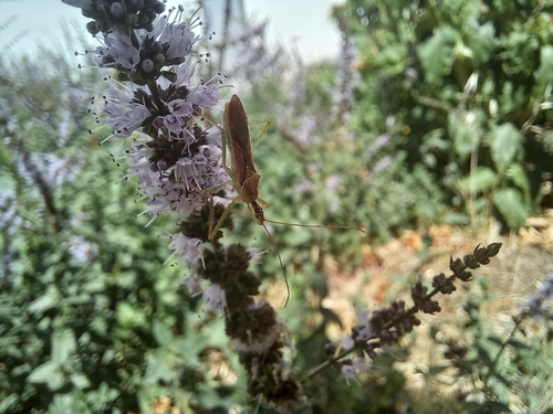
Leafhopper Assassin Bug
Zelus renardii
Seen 2026-08-23
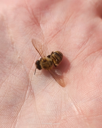
Western Honey Bee
Apis mellifera
Seen 2026-08-22
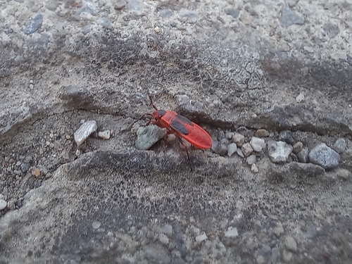
Mediterranean red bug
Scantius aegyptius
Seen 2026-08-18
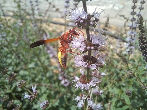
Rhynchium oculatum
Rhynchium oculatum
Seen 2026-08-17
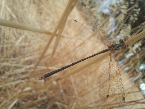
Migrant Spreadwing
Lestes barbarus
Seen 2026-08-16
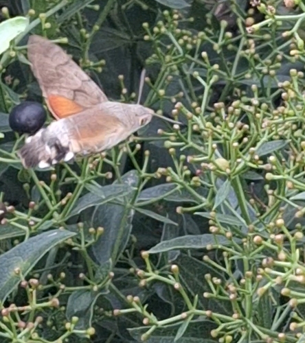
Eurasian Hummingbird Hawkmoth
Macroglossum stellatarum
Seen 2026-08-13
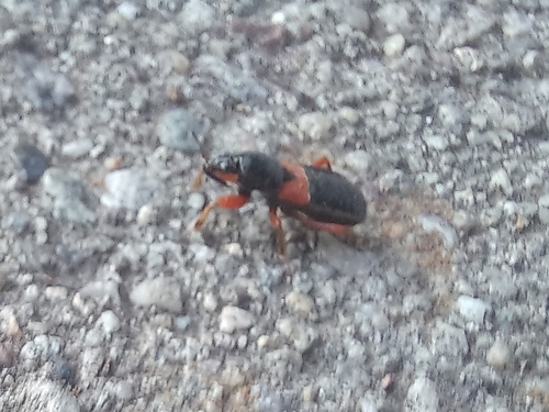
Prostemma guttula
Prostemma guttula
Seen 2026-08-01
Research-grade observations from iNaturalist (within ~15 mi).
Events
Gallery
Sources
- • Wikipedia
- • Wikidata
- • iNaturalist
- • Open-Elevation
- • Open-Meteo / sunrise-sunset.org
- • Wikipedia Pageviews API
- • Wikidata SPARQL (CC0) — population, area, elevation, inception, head of government, Commons image