Browse / Türkiye / Malatya / Arapgir
Arapgir
Malatyatown

Arapgir
Total population
10,419
Demographic figures from TurkStat. Overview below cites Wikipedia and may reference a different year.
City facts
Sister cities
Facts from Wikidata (CC0).
Overview
Arapgir is a municipality and district of Malatya Province, Turkey. Its area is 987 km2, and its population is 9,964 (2022).
Read more on WikipediaHistory & geography
History
This territory is a part of historical Lesser Armenia. The old town of Arapgir was founded by the Armenian King Senekerim-Hovhannes Artsruni in 1021, who had exchanged his kingdom of Vaspurakan for estates in the central lands of the Byzantine Empire.
Excerpted from the corresponding Wikipedia article (CC BY-SA).
Geography
Coordinates & boundaries from the US Census TIGER/Line shapefiles.
Climate
Air quality
Walkability
Amenities nearby
Wildlife & biodiversity
Most-observed species
- Astragalus tigridis Boiss.Astragalus tigridis Boiss. · Magnoliopsida3
- Bearded IrisIris ×germanica L. · Liliopsida2
- Jerusalem thorn, Garland thorn, Christ's thorn, Crown of thornsPaliurus spina-christi Mill. · Magnoliopsida2
- Hedysarum malatyanum GovaertsHedysarum malatyanum Govaerts · Magnoliopsida1
- western honey beeApis mellifera Linnaeus, 1758 · Insecta1
- Eurasian lynxLynx lynx (Linnaeus, 1758) · Mammalia1
- Gray PartridgePerdix perdix (Linnaeus, 1758) · Aves1
- ChukarAlectoris chukar (J.E.Gray, 1830) · Aves1
Citizen-science & research observations from the Global Biodiversity Information Facility (GBIF).
Earthquake history
Photos
Sights & places nearby
Notable people from here


People born within ~10 km, from Wikidata (CC0). Click any name for their Wikipedia article.
Nearby places in Malatya
- Ain Dem1963.9 mi away
- Djebabra Doukhane1965.8 mi away
- Amoura Merkaz1966.4 mi away
- Pont l'Oued Djer1966.4 mi away
- Ouled Noual1968.8 mi away
- El Baraka1969.2 mi away
- Ouled Alouane1971.7 mi away
- Sidi Naceur1972.2 mi away
- Oued Zebboudj1972.8 mi away
- Douar Ouled Abbes1973.4 mi away
- Oued Hellil1974.5 mi away
- Djehalbia1977.2 mi away
Geography & sun
Elevation, sunrise/sunset and daylight from Open-Meteo. Solar climatology from NASA POWER.
Nearby airports
Public attention
Pageview totals from the Wikimedia Pageviews API.
Books about Arapgir
Search results from Open Library.
Recent natural events nearby
Ground air-quality sensors
Recently spotted species
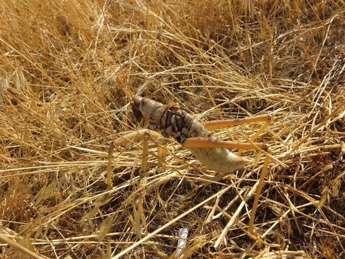
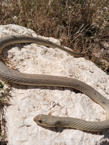
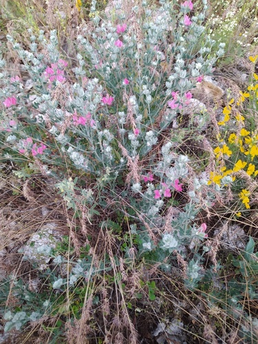
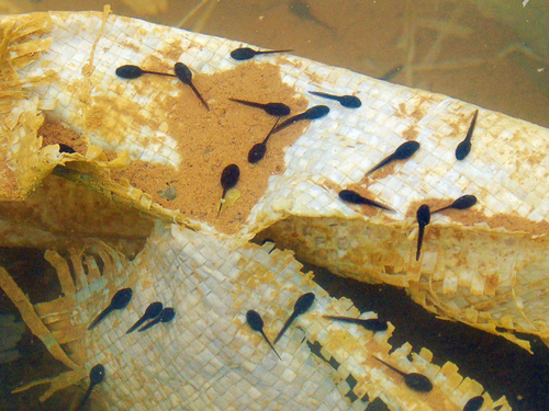
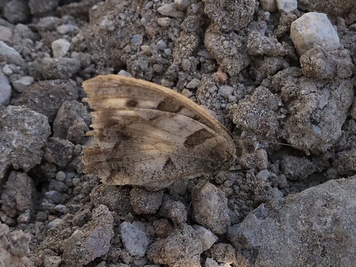
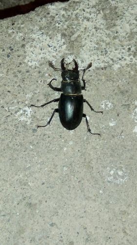
Research-grade observations from iNaturalist (within ~15 mi).
Events
Gallery
Sources
- • Wikipedia
- • Wikidata
- • GBIF (Global Biodiversity Information Facility)
- • iNaturalist
- • Open-Meteo / sunrise-sunset.org
- • Wikipedia Pageviews API
- • Open Library
- • Wikidata SPARQL (CC0) — population, area, elevation, inception, head of government, Commons image