Browse / Türkiye / Ardahan / Ardahan
Ardahan
Ardahancity

Ardahan
Total population
96,161
Demographic figures from TurkStat. Overview below cites Wikipedia and may reference a different year.
City facts
Sister cities
Facts from Wikidata (CC0).
Overview
Ardahan is a city in northeastern Turkey, near the Georgian border. It is the seat of Ardahan Province and Ardahan District. Its population is 22,927 (2021).
Read more on WikipediaHistory & geography
History
Ardahan was historically located in the region of Gogarene (Gugark), which Strabo calls a part of the Armenia that was taken away from the Kingdom of Iberia. In the Middle Ages Ardahan served as an important transit point for goods arriving from the Abbasid Caliphate and departing to the regions around the Black Sea. During the 8th to 10th centuries the region was in hands of the Bagrationi princes of Tao-Klarjeti under the name of Artaani, and later part of Kingdom of Georgia between 11th to 15th centuries. According to the Arab historian Yahya of Antioch, the Byzantines razed Ardahan and slaughtered its population in 1021. and Ardahan was included into the sanjak of Ardahan (an overall part of the vilayet of Akhaltsikhe). The Ottomans turned Ardahan into a formidable fortress-town. In the 1640s the Ottoman traveler Evliya Çelebi visited Ardahan and gave the following description: "The fortress of Ardahan sits atop an inaccessible cliff. It is square-shaped and sturdy... This fortress has a cold climate and, because of this, there are no gardens or orchards. Fruits arrive from the fortress at Ajara and Tortum." Before 1829 Ardahan was recorded to have had 400 households, the majority of them Armenian. The town flourished economically under Russian rule, exporting fruits, smoked lamb meat, wheat and wood. New roads were constructed, linking Ardahan to Akhalkalak, Kars, and Oltu. On 25 December 1914, in the early months of the First World War, the Ottoman Army occupied Ardahan and massacred many of its Armenians, Pontic Greeks, and Georgians. The Russians, with the help of Armenian and Pontic Greek militias, captured the town on January 3, 1915, allowing some of the original inhabitants who had fled to return. As Russian forces withdrew from the front following the…
Geography
Ardahan is situated in northeastern Turkey, close to the border with Georgia. It lies on the upper course of the river Kura, south of the Yalnızçam Mountains. The town consists of 7 quarters: Halilefendi, Karagöl, Kaptanpaşa, Yenimahalle, Gürçayir, Atatürk and Inönü. Ardahan has a humid continental climate (Köppen: Dfb, Trewartha: Dclc), bordering on a subarctic climate (Köppen: Dfc, Trewartha: Eclc) on higher elevations, with brief, mild summers and very cold winters. Summers are mild to warm during daytime, but turn colder nocturnally. Because of this, temperatures below freezing have been recorded every month of the year. It is also frequently rainy most of the year, especially in spring and summer. Winters are quite snowy with snow cover lasting from late October to mid April. Although it does snow in September and May, accumulating snowfall is rare. On rarer occasions, it has also snowed in summer months, such as the snowfall in August 2013. The highest recorded snow thickness was 113 cm (44.5 inches) on 30 January 1968. Highest recorded temperature: on 29 August 1998Lowest recorded temperature: on 21 January 1972
Excerpted from the corresponding Wikipedia article (CC BY-SA).
Geography
Coordinates & boundaries from the US Census TIGER/Line shapefiles.
Climate
Air quality
Walkability
Amenities nearby
Wildlife & biodiversity
Earthquake history
Photos
Sights & places nearby
Notable people from here


People born within ~10 km, from Wikidata (CC0). Click any name for their Wikipedia article.
Nearby places in Ardahan
- Hanak11.4 mi away · pop. 9,019
- Damal17.6 mi away · pop. 5,369
- Çıldır22.5 mi away · pop. 9,539
- Göle22.5 mi away · pop. 25,679
- Posof27.5 mi away · pop. 6,790
- Otranto1267.4 mi away · pop. 5,282
- Porto Badisco1268.6 mi away
- Torre dell'Orso1269 mi away
- Roca1269 mi away
- San Foca1269.9 mi away
- Uggiano la Chiesa1270.1 mi away · pop. 4,341
- Santa Cesarea Terme1270.6 mi away · pop. 3,095
Geography & sun
Elevation, sunrise/sunset and daylight from Open-Meteo. Solar climatology from NASA POWER.
Nearby airports
Public attention
Pageview totals from the Wikimedia Pageviews API.
Books about Ardahan


Search results from Open Library.
Recent natural events nearby
Ground air-quality sensors
Recently spotted species
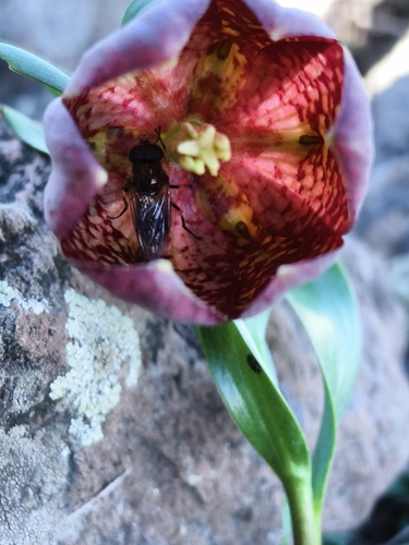
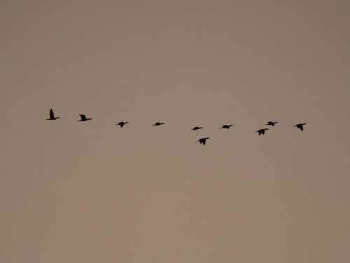
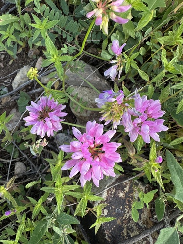
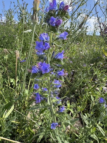
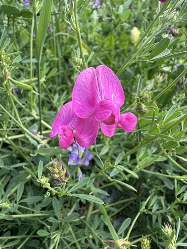
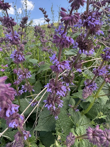
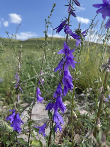
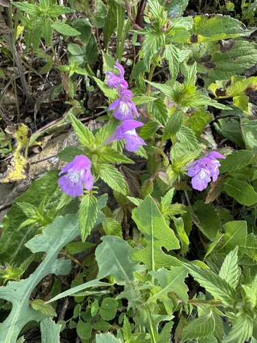
Research-grade observations from iNaturalist (within ~15 mi).
Events
Gallery
Sources
- • Wikipedia
- • Wikidata
- • iNaturalist
- • Open-Meteo / sunrise-sunset.org
- • Wikipedia Pageviews API
- • Open Library
- • Wikidata SPARQL (CC0) — population, area, elevation, inception, head of government, Commons image