Browse / Türkiye / Mersin / Bozyazı
Bozyazı
Mersintown

Bozyazı
Total population
26,910
Air quality index
Demographic figures from TurkStat. Overview below cites Wikipedia and may reference a different year.
City facts
Overview
Bozyazı is a municipality and district of Mersin Province, Turkey. Its area is 642 km2, and its population is 26,812 (2022). It is on the Mediterranean coast, 220 km (137 mi) west of the city of Mersin.
Read more on WikipediaHistory & geography
History
The ruins of the ancient Greek city of Nagidos are on a hill above the town of Bozyazı. They are being excavated by a team from Mersin University who have found traces of occupation going back to the Hellenistic period of the 4th century BC, when Nagidos was an outpost of Rhodes and Samos, a small port established to trade goods from Egypt and Cyprus. The town was subsequently controlled by Ptolemaic Empire, Ancient Romans, Byzantines, Cilician Armenia and Seljuk Turks.
Geography
Bozyazı is a remote coastal district with the Taurus Mountains as a backdrop; The roads over the mountains or along the coast from either direction are very difficult to drive making Bozyazı too far from large cities or the established centres of tourism to attract many visitors, so the district is quiet and unspoilt. However there are developments of holiday flats in some places, mainly owned by people from Konya and Ankara as well as foreigners. The sea is clean and Bozyazı is home to an important colony of the endangered Mediterranean monk seal. The narrow coastal strip has a temperate climate and is used to grow bananas along with strawberries, citrus fruits, ground-nuts, and a variety vegetables and fruits. The higher land (over 50% of the district) meanwhile is used for apples and walnuts. There are areas of cedar and fir trees. The highest peaks are Tol Dağı (1,250 m), Azıtepe (780 m), Susmak Dağı (1,600 m), Kaş Dağı (1,639 m) and Elmakuzu Dağı (1,690 m), there are areas of high meadow in these mountains used for summer grazing. Bozyazı river rushes off Elmakız through a rocky gorge, there is a dam and hyrodelectric power station 14 km north of Bozyazı. About 60% of the population lives in the town of Bozyazı, a small town providing high schools and healthcare to the surrounding villages. There are two other small towns (Tekmen and Tekeli) and about 40 villages. The biggest village is Karaisali. These are quiet places where the people are conservative; old and young spend the evenings sitting by the sea spitting out sunflower and pumpkin seeds; there is little nightlife, maybe the odd restaurant with a piano player.
Excerpted from the corresponding Wikipedia article (CC BY-SA).
Geography
Coordinates & boundaries from the US Census TIGER/Line shapefiles.
Climate
Air quality
Current readings from Open-Meteo Air Quality API (Copernicus CAMS European reanalysis).
Walkability
Amenities nearby
Wildlife & biodiversity
Most-observed species
- Common RavenCorvus corax Linnaeus, 1758 · Aves21
- Barn SwallowHirundo rustica Linnaeus, 1758 · Aves21
- White-spectacled BulbulPycnonotus xanthopygos (Hemprich & Ehrenberg, 1833) · Aves17
- Yellow-legged GullLarus michahellis J.F.Naumann, 1840 · Aves17
- European GoldfinchCarduelis carduelis (Linnaeus, 1758) · Aves16
- Eurasian JayGarrulus glandarius (Linnaeus, 1758) · Aves15
- golden henbaneHyoscyamus aureus L. · Magnoliopsida15
- Hooded CrowCorvus cornix Linnaeus, 1758 · Aves14
Citizen-science & research observations from the Global Biodiversity Information Facility (GBIF).
Earthquake history
Most recent
- M 4.3 — 2025-06-0552 km SSW of Gazipaşa, Turkey
- M 4.2 — 2023-11-1131 km SSW of Mahmutlar, Turkey
- M 5.3 — 2020-12-0545 km WSW of Gazipa?a, Turkey
- M 4.2 — 2019-12-2870 km NNW of Argáka, Cyprus
- M 3.8 — 2018-12-037 km SSW of Lápithos, Cyprus
- M 4.4 — 2017-01-1348 km NNW of Káto Pýrgos, Cyprus
Events from the USGS Earthquake Catalog (global) (FDSN Event Web Service).
Photos
Sights & places nearby
Notable people from here
People born within ~10 km, from Wikidata (CC0). Click any name for their Wikipedia article.
Nearby places in Mersin
- Mut45.3 mi away · pop. 62,803
- Erdemli82 mi away · pop. 147,512
- Mezitli97.3 mi away · pop. 218,816
- Yenişehir101.4 mi away · pop. 274,944
- Çamlıyayla115.9 mi away · pop. 8,208
- Elles1330.9 mi away
- Lorbous1344.1 mi away
- Dahmani1345.9 mi away · pop. 27,907
- Al-Kaf1350.5 mi away · pop. 73,710
- Tajerouine1361.6 mi away · pop. 30,659
- Sidi Ahmed Essalah1361.6 mi away
- Kalâat Khasba1361.9 mi away · pop. 2,871
Geography & sun
Elevation, sunrise/sunset and daylight from Open-Meteo. Solar climatology from NASA POWER.
Nearby airports
Public attention
Pageview totals from the Wikimedia Pageviews API.
Books about this place
Recent natural events nearby
Ground air-quality sensors
Recently spotted species
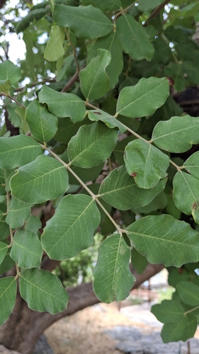
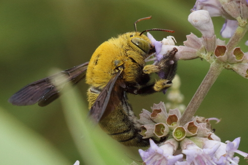
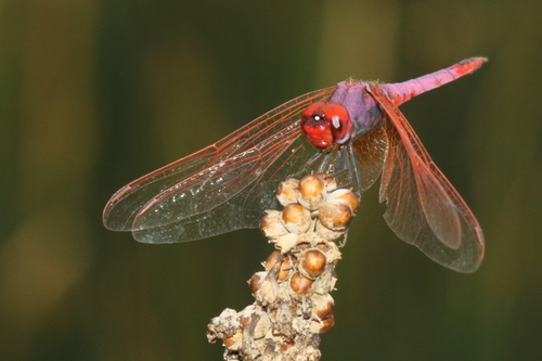
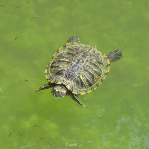
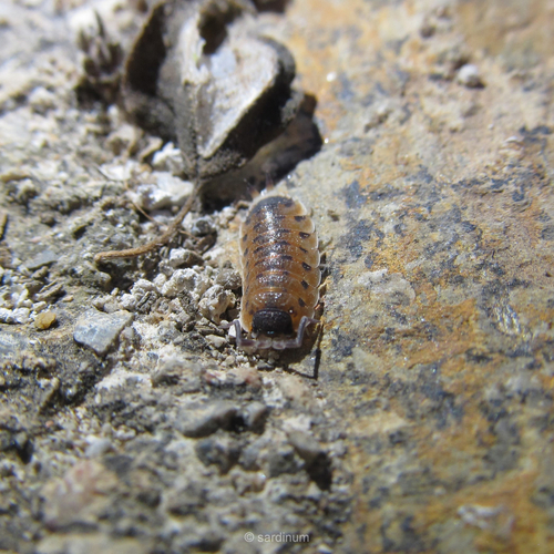
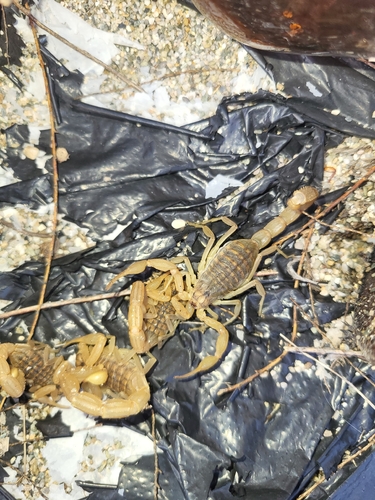
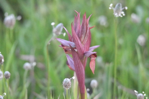
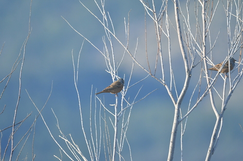
Research-grade observations from iNaturalist (within ~15 mi).
Events
Gallery
Sources
- • Wikipedia
- • Wikidata
- • Open-Meteo Air Quality (CAMS)
- • USGS Earthquake Catalog (global feed)
- • GBIF (Global Biodiversity Information Facility)
- • iNaturalist
- • Open-Meteo / sunrise-sunset.org
- • Wikipedia Pageviews API
- • Wikidata SPARQL (CC0) — population, area, elevation, inception, head of government, Commons image