Browse / Türkiye / Istanbul / Çatalca
Çatalca
Istanbultown

Çatalca
Total population
76,131
Demographic figures from TurkStat. Overview below cites Wikipedia and may reference a different year.
City facts
Facts from Wikidata (CC0).
Overview
Çatalca is a municipality and district of Istanbul Province, Turkey. Its area is 1142 km2, making it the largest district in Istanbul Province by area. Its population is 77,468 (2022). It is in East Thrace, on the ridge between the Marmara and the Black Sea. Most people living in Çatalca are farmers or owners of vacation homes. Many families from Istanbul come to Çatalca for weekend hiking or picnics.
Read more on WikipediaHistory & geography
History
Modern Çatalca partly lies on the site of Ergisce or Ergiske (), a Greek city in Thrace, located in the region of the Propontis. According to ancient texts, it was named after Ergiscus (), a son of Poseidon through the naiad (nymph) Aba (), presumed in Greek mythology to be a daughter of the river Hebros. Under Roman rule, the city was named Metrae or Metre () and was important enough in the late Roman province of Europa to become a suffragan of its capital Heraclea's metropolitan archbishop, yet was to fade. Çatalca was settled throughout the Ottoman period and according to the Ottoman Official Statistics of 1910 the majority of the area were Greeks. The Crimean War caused a mass exodus of Crimean Tatars towards Ottoman lands. A few Crimean Tatars settled in Çatalca. In the First Balkan War the Bulgarian army had driven the Turkish forces back from the border, but the Turkish forces retreated to the prepared positions at Çatalca where on 16–17 November 1912 they defeated the Bulgarians at the "First Battle of Çatalca". The Çatalca fortifications formed a line across the peninsula, the "Chataldja line", which became the armistice line of 3 December 1912, There were a large number of journalists who reported on the military actions at Çatalca, whose accounts provide rich details about this event. According to the Ottoman population statistics of 1914, the kaza of Çatalca had a total population of 30,165, consisting of 16,984 Greeks, 13,034 Muslims, 53 Jews, 44 Armenians, 40 Bulgarians and 10 Roma people. Before 1930, Çatalca also covered present districts of Arnavutköy, Beylikdüzü, Büyükçekmece, western parts of Başakşehir, rural parts of Eyüp and Sarıyer. In 1930 county (bucak) of Kilyos was part of district of Sarıyer, used to be part of Beyoğlu. At same time,…
Geography
Çatalca has 135 kilometers of coastline. Its neighbors include Tekirdağ Province to the west, Silivri to the southwest, Büyükçekmece to the south, and Arnavutköy to the east. Fresh water for Istanbul is provided from by lakes Durusu and Çatalca. Yalıköy is a seaside resort of Çatalca. The Çilingoz Nature Park west of Yalıköy offers camping and outdoor recreation activities.
Excerpted from the corresponding Wikipedia article (CC BY-SA).
Geography
Coordinates & boundaries from the US Census TIGER/Line shapefiles.
Climate
Air quality
Walkability
Amenities nearby
Wildlife & biodiversity
Earthquake history
Photos
Sights & places nearby
Notable people from here


People born within ~10 km, from Wikidata (CC0). Click any name for their Wikipedia article.
Nearby places in Istanbul
- Bakırköy24.4 mi away · pop. 226,685
- Bibione831.9 mi away · pop. 2,564
- San Giorgio al Tagliamento838.3 mi away
- Villanova Sant'Antonio841.4 mi away
- Villanova Santa Margherita841.7 mi away
- Borghetto843.4 mi away
- La Salute di Livenza843.9 mi away
- San Giorgio di Livenza844 mi away
- Blessaglia850.4 mi away
- Ceggia852.1 mi away · pop. 6,145
- Cessalto853.8 mi away · pop. 3,134
- Santa Maria di Campagna854.2 mi away
Geography & sun
Elevation, sunrise/sunset and daylight from Open-Meteo. Solar climatology from NASA POWER.
Nearby airports
Public attention
Pageview totals from the Wikimedia Pageviews API.
Books about Çatalca
Search results from Open Library.
Recent natural events nearby
Ground air-quality sensors
Recently spotted species
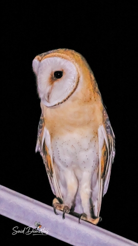
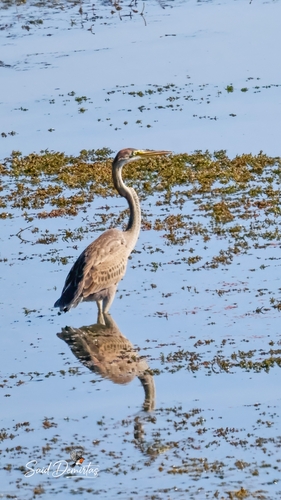
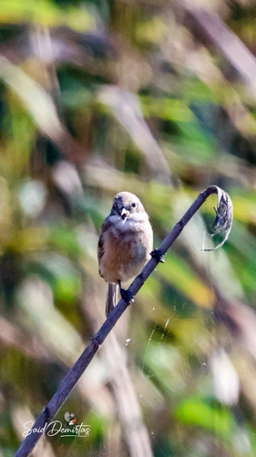
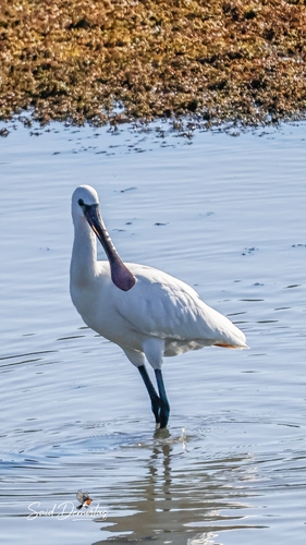
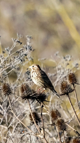
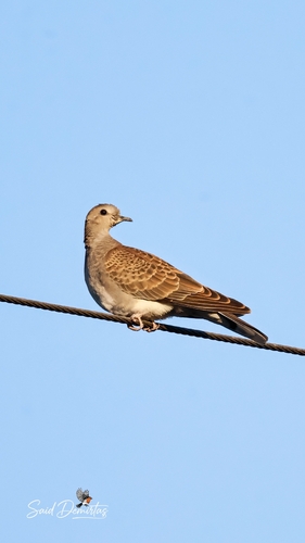
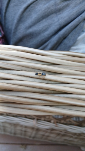
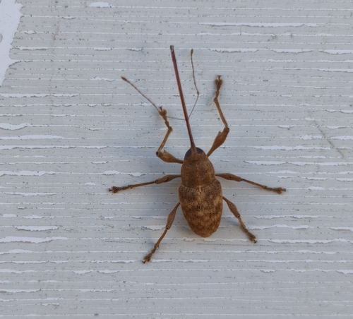
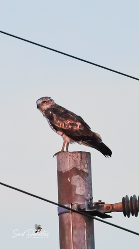
Research-grade observations from iNaturalist (within ~15 mi).
Events
Gallery
Sources
- • Wikipedia
- • Wikidata
- • iNaturalist
- • Open-Meteo / sunrise-sunset.org
- • Wikipedia Pageviews API
- • Open Library
- • Wikidata SPARQL (CC0) — population, area, elevation, inception, head of government, Commons image