Browse / Türkiye / Kocaeli / Çayırova
Çayırova
Kocaelitown
Demographic figures from TurkStat. Overview below cites Wikipedia and may reference a different year.
City facts
Overview
Çayırova may refer to:Ayios Theodhoros, Famagusta, Cyprus Çayırova District, Kocaeli, Turkey
History & geography
Geography
Coordinates & boundaries from the US Census TIGER/Line shapefiles.
Climate
Air quality
Walkability
Amenities nearby
Wildlife & biodiversity
Most-observed species
- Hooded CrowCorvus cornix Linnaeus, 1758 · Aves1,517
- Yellow-legged GullLarus michahellis J.F.Naumann, 1840 · Aves1,332
- Eurasian MagpiePica pica (Linnaeus, 1758) · Aves1,325
- Western JackdawColoeus monedula (Linnaeus, 1758) · Aves1,195
- House SparrowPasser domesticus (Linnaeus, 1758) · Aves1,191
- Rock PigeonColumba livia J.F.Gmelin, 1789 · Aves1,040
- Gray/Purple HeronArdea cinerea Linnaeus, 1758 · Aves954
- European StarlingSturnus vulgaris Linnaeus, 1758 · Aves941
Citizen-science & research observations from the Global Biodiversity Information Facility (GBIF).
Earthquake history
Most recent
- M 3.8 — 2025-07-0530 km SSW of Kumburgaz, Turkey
- M 4.2 — 2025-07-024 km NE of Gemlik, Turkey
- M 4 — 2025-07-013 km S of Umurbey, Turkey
- M 3.7 — 2025-05-0327 km SE of Marmara Ereğlisi, Turkey
- M 4.3 — 2025-04-2519 km SSW of Kumburgaz, Turkey
- M 4.9 — 2025-04-2324 km SSW of Selimpaşa, Turkey
Events from the USGS Earthquake Catalog (global) (FDSN Event Web Service).
Photos
Sights & places nearby
Notable people from here


People born within ~10 km, from Wikidata (CC0). Click any name for their Wikipedia article.
Nearby places in Kocaeli
- Körfez21.6 mi away
- Boč1022.9 mi away · pop. 76
- Citice1032.7 mi away · pop. 713
- Slapany1036.9 mi away
- M'Zaret Boumendjel1183.2 mi away
- Ouled Driss1190.7 mi away · pop. 11,303
- Mechtat Dardoura1194.4 mi away
- Souk Ahras1196.3 mi away · pop. 155,259
- Ain Tamatmat1199.2 mi away
- Mechroha1200.3 mi away · pop. 21,802
- Tiffech1207.3 mi away
- M'Daourouch1208.5 mi away · pop. 41,243
Geography & sun
Elevation, sunrise/sunset and daylight from Open-Meteo. Solar climatology from NASA POWER.
Nearby airports
Public attention
Pageview totals from the Wikimedia Pageviews API.
Books about this place
Recent natural events nearby
Ground air-quality sensors
Recently spotted species
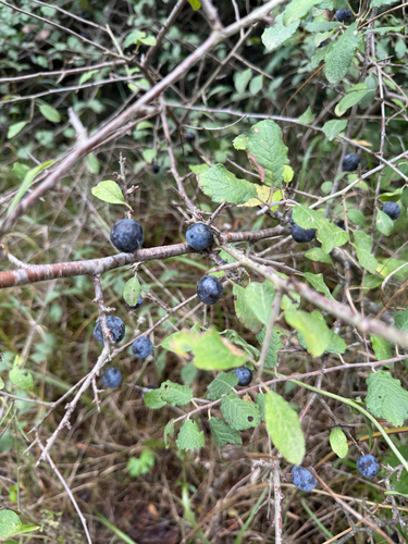
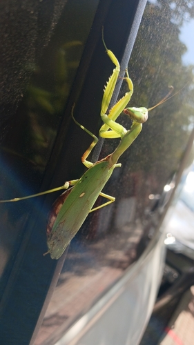
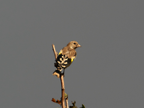
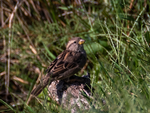
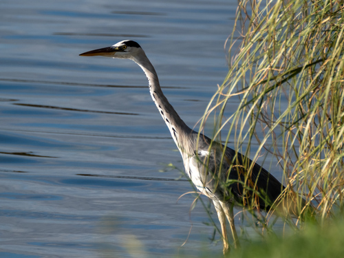
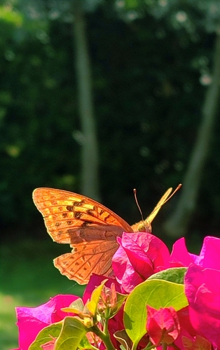
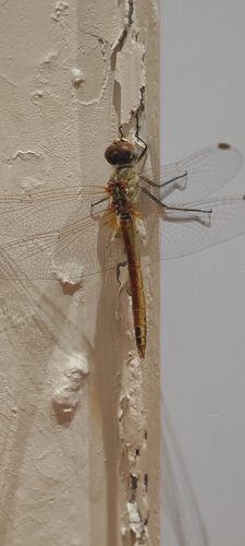
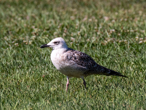
Research-grade observations from iNaturalist (within ~15 mi).
Events
Gallery
Sources
- • Wikipedia
- • Wikidata
- • USGS Earthquake Catalog (global feed)
- • GBIF (Global Biodiversity Information Facility)
- • iNaturalist
- • Open-Meteo / sunrise-sunset.org
- • Wikipedia Pageviews API
- • Wikidata SPARQL (CC0) — population, area, elevation, inception, head of government, Commons image