Browse / Türkiye / Denizli / Çivril
Çivril
Denizlitown

Çivril
Total population
60,362
Demographic figures from TurkStat. Overview below cites Wikipedia and may reference a different year.
City facts
Overview
Çivril is a municipality and district of Denizli Province, Turkey. Its area is 1,570 km2, and its population is 59,967 (2022). Çivril district area neighbors those of two districts of Uşak Province to its north, namely Sivaslı and Karahallı, and four districts of Afyonkarahisar Province from the north-east to the south which are, clockwise, Sandıklı, Dinar, Dazkırı and Dazkırı, and to its south-west, three districts of the same province as itself depending Denizli. These last three are Bekilli, Çal and Baklan.
Read more on WikipediaHistory & geography
History
During an excavation carried out by the British archaeologists Prof. Seton Lloyd and Prof. James Mellaart between 1953 and 1959 at Beycehöyük, south of the town of Çivril, several artefacts dating back to the Copper Age (circa 3000 BC) were found. It is assumed that Beycehöyük was the centre of the Arzawa kingdom, contemporaries of the Hittite Empire. Later on Phrygians, Carians, Lydians, Persians and Macedonians passed through the region during recorded history but left very few traces. It is assumed that the relics of raiders and chariots in mounds and on rocks found at Yavuzca farm, from Çivril, date back to the Phrygians in whose time the most notable settlement here was called Eumeneia. A tomb located on Beycehöyük dates from Seljuk era. A village in Hüdavendigâr vilayet depending from Sandıklı until the 1880s, Çivril gained importance once it became the terminus of a branch of the İzmir-Dinar railway which reached here in 1889. The railway was later extended from Dinar further east to Eğirdir in 1912. Çivril continued to grow by becoming a township with its own municipality in 1892 and a district center in 1910, attached at first to Afyonkarahisar and to Denizli after 1925. The railway line was closed in 1988 and the transportation relies today on intercity buses.
Excerpted from the corresponding Wikipedia article (CC BY-SA).
Geography
Coordinates & boundaries from the US Census TIGER/Line shapefiles.
Climate
Air quality
Walkability
Amenities nearby
Wildlife & biodiversity
Most-observed species
- Little Egret/Western Reef-HeronEgretta garzetta (Linnaeus, 1766) · Aves129
- Eurasian CootFulica atra Linnaeus, 1758 · Aves116
- Eurasian MagpiePica pica (Linnaeus, 1758) · Aves115
- Great Cormorant/European ShagPhalacrocorax carbo (Linnaeus, 1758) · Aves114
- Gray/Purple HeronArdea cinerea Linnaeus, 1758 · Aves113
- European StarlingSturnus vulgaris Linnaeus, 1758 · Aves104
- Squacco HeronArdeola ralloides (Scopoli, 1769) · Aves102
- Eurasian Marsh-HarrierCircus aeruginosus (Linnaeus, 1758) · Aves101
Citizen-science & research observations from the Global Biodiversity Information Facility (GBIF).
Earthquake history
Photos
Sights & places nearby
Notable people from here
Nearby places in Denizli
Geography & sun
Elevation, sunrise/sunset and daylight from Open-Meteo. Solar climatology from NASA POWER.
Nearby airports
Public attention
Pageview totals from the Wikimedia Pageviews API.
Books about Çivril
Search results from Open Library.
Recent natural events nearby
Ground air-quality sensors
Recently spotted species
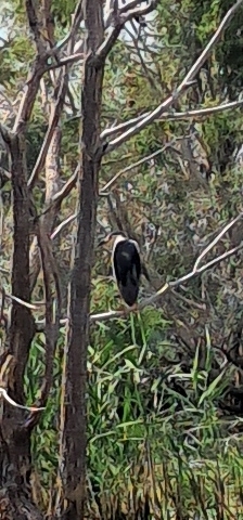
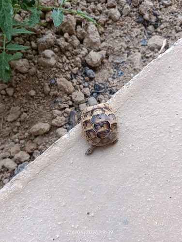
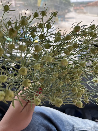
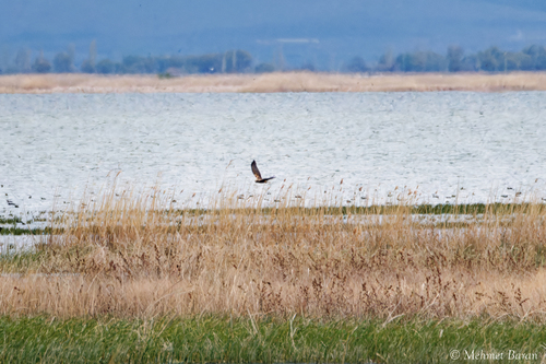
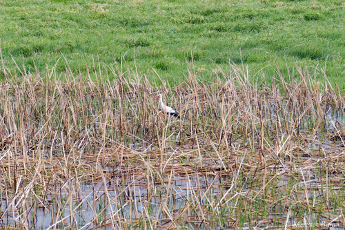
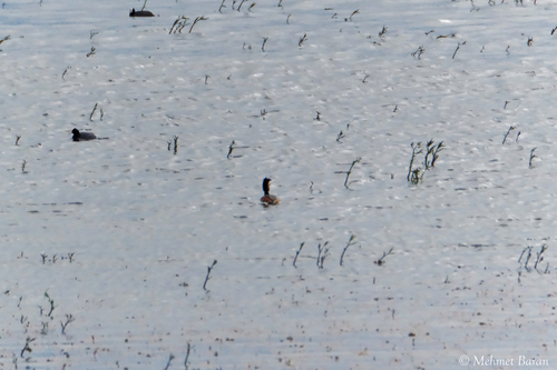
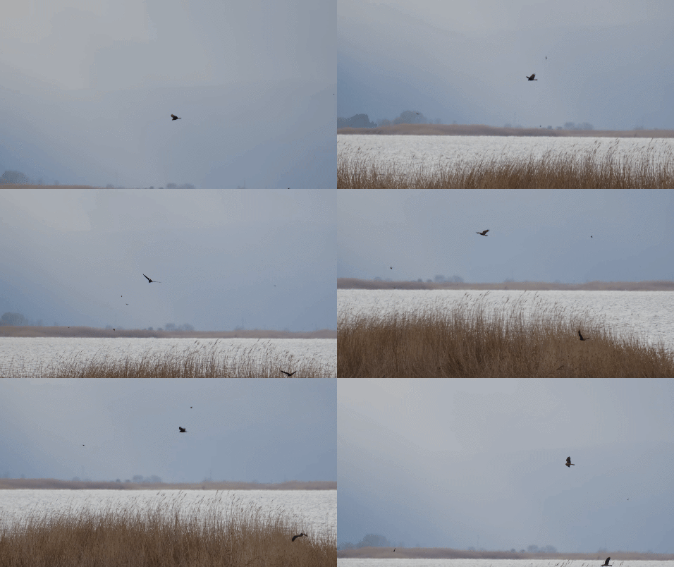
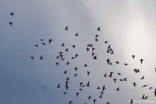
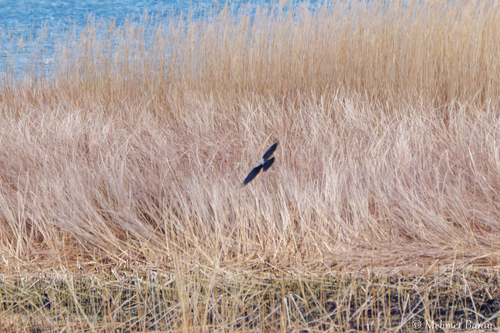
Research-grade observations from iNaturalist (within ~15 mi).
Events
Gallery
Sources
- • Wikipedia
- • GBIF (Global Biodiversity Information Facility)
- • iNaturalist
- • Open-Meteo / sunrise-sunset.org
- • Wikipedia Pageviews API
- • Open Library
- • Wikidata SPARQL (CC0) — population, area, elevation, inception, head of government, Commons image