Browse / Türkiye / Şırnak / Cizre
Cizre
Şırnaktown

Cizre
Total population
155,182
Demographic figures from TurkStat. Overview below cites Wikipedia and may reference a different year.
City facts
Facts from Wikidata (CC0).
Overview
Cizre is a city in the Cizre District of Şırnak Province in Turkey. It is located on the river Tigris by the Syria–Turkey border and close to the Iraq–Turkey border. Cizre is in the historical region of Upper Mesopotamia and the cultural region of Turkish Kurdistan. The city had a population of 130,916 in 2021. It is predominantly inhabited by Kurds.
Read more on WikipediaHistory & geography
History
Cizre is identified as the location of , a river crossing depicted on the , a Roman 4th/5th century map. The river crossing lay at the end of a Roman road that connected it with Nisibis, and was part of the region of Zabdicene. It was previously assumed by most scholars that Bezabde was located at the same site of what would later become Cizre, but is now agreed to be at Eski Hendek, northwest of Cizre. Cizre was originally known as Jazirat Ibn ʿUmar, and was founded by and named after al-Hasan ibn Umar ibn al-Khattab al-Taghlibi (), Emir of Mosul, in the early 9th century, as recorded by Yaqut al-Hamawi in Mu'jam al-Buldan. The city was constructed in a bend in the river Tigris, and al-Hasan ibn Umar built a canal across the bend, placing the city on an island in the river, hence the city's name. Eventually, the original course of the river disappeared due to sedimentation and shifted to the canal, leaving the city on the west bank of the Tigris. Jazirat Ibn ʿUmar was situated to take advantage of trade routes from the direction of Amid to the northwest, Nisibin to the west, and Iran to the northeast. The city also functioned as a river port, and goods were transported by raft down the Tigris to Mosul and further south. Jazirat Ibn ʿUmar supplanted the neighbouring city of Bezabde as its inhabitants gradually left for the new city, and was likely abandoned in the early 10th century. Medieval Islamic scholars recorded competing theories of the founder of the city as al-Harawi noted in Ziyarat that it was believed that Jazirat Ibn ʿUmar was the second city founded by Nuh (Noah) after the Great Flood. This belief rests on the identification of nearby Mount Judi as the (place of descent) of Noah's Ark. The shahanshah Ardashir I of Iran (180–242) was also considered a…
Geography
Cizre is located at the easternmost point of the Tur Abdin in the Melabas Hills (, "the clothed mountain"), which is roughly coterminous with the region of Zabdicene. Cizre has a Mediterranean climate (Csa in the Köppen climate classification) with wet, cool, occasionally snowy winters and dry, extremely hot summers. On 25 July 2025, Cizre recorded , setting a new highest temperature record for the city. The previous highest temperature records in Turkey at on 20 July 2021 and at on 27 August 1961 were recorded in Cizre. Cizre's 62-year-long highest temperature record was surpassed two years later in Sarıcakaya, Eskişehir Province in northwest Turkey.
Excerpted from the corresponding Wikipedia article (CC BY-SA).
Geography
Coordinates & boundaries from the US Census TIGER/Line shapefiles.
Climate
Air quality
Walkability
Amenities nearby
Wildlife & biodiversity
Earthquake history
Photos
Sights & places nearby
Notable people from here


People born within ~10 km, from Wikidata (CC0). Click any name for their Wikipedia article.
Nearby places in Şırnak
- İdil16.1 mi away · pop. 76,523
- Silopi16.7 mi away · pop. 141,621
- Güçlükonak17.8 mi away · pop. 11,915
- Şırnak19.8 mi away · pop. 69,338
- Uludere37.4 mi away · pop. 41,680
- Beytüşşebap56.5 mi away · pop. 16,291
- Ksar Ghilane1853.4 mi away
- Ain Zigzaou1860.9 mi away
- Limagues1867.7 mi away
- Steftimi1870.7 mi away
- Kebili1875 mi away
- Djemna1875.2 mi away
Geography & sun
Elevation, sunrise/sunset and daylight from Open-Meteo. Solar climatology from NASA POWER.
Nearby airports
Public attention
Pageview totals from the Wikimedia Pageviews API.
Books about Cizre
Search results from Open Library.
Recent natural events nearby
Ground air-quality sensors
Recently spotted species
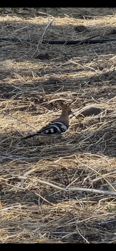
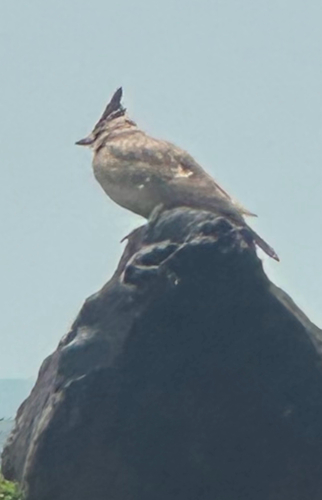
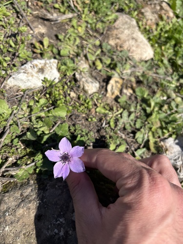
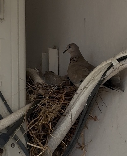
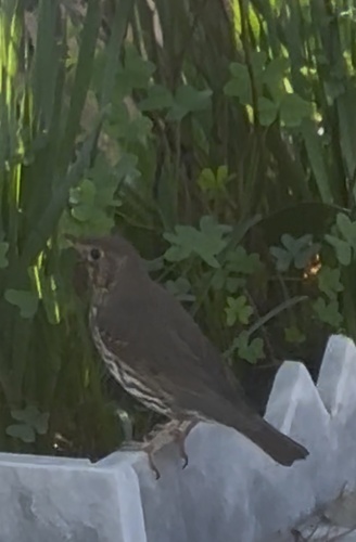
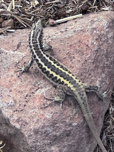
Research-grade observations from iNaturalist (within ~15 mi).
Events
Gallery
Sources
- • Wikipedia
- • Wikidata
- • iNaturalist
- • Open-Meteo / sunrise-sunset.org
- • Wikipedia Pageviews API
- • Open Library
- • Wikidata SPARQL (CC0) — population, area, elevation, inception, head of government, Commons image